Click to visit the main New York Public Library Homepage
The New York Public Library
Digital Collections
About Digital Collections
Browse
Search only public domain materials
Items
Collections
Divisions
Home
Search
Browse
About
Search only public domain materials
Items
Collections
Divisions
Digital Collections
Using Images
Using Data
Search
Filtered keyword search
Show filters
Hide filters
Show Only Public Domain
topic
Real property
894
Geography
488
Atlases
174
Atlases, British
106
Maps in education
96
More
Less
name
G.W. Bromley & Co
804
Thornton, Samuel
174
Ortelius, Abraham, 1527-1598
124
Coignet, Michel, 1549-1623
123
Shawe, James
123
More
Less
collection
Lawrence H. Slaughter Collection of English maps, charts, globes, books and atlases
1101
Atlases of New York City
834
Atlases, gazetteers, guidebooks and other books
484
Atlases of the United States
107
Description de l'Égypte: ou, Recueil des observations et des recherches qui ont été faites en Égypte pendant l'expédition de l'armée française
85
More
Less
place
New York (State)
920
Manhattan (New York, N.Y.)
814
New York
622
Great Britain
283
New York (N.Y.)
274
More
Less
genre
Maps
3024
Nautical charts
178
Prints
118
Atlases
102
Illustrations
79
More
Less
publisher
G.W. Bromley & Co
804
Printed for Ieames Shawe, and are to be solde at his shoppe nigh Ludgate,
123
Chapman and Hall
109
Impr. impériale
85
M. Carey
59
More
Less
division
Map Division
2581
Rare Book Division
337
Schomburg Manuscripts, Archives and Rare Books Division
57
George Arents Collection
53
Manuscripts and Archives Division
32
More
Less
type
x
cartographic
text
222
still image
133
three dimensional object
12
Date Range
to
Looking for one of these collections?
Lawrence H. Slaughter Collection of English maps, charts, globes, books and atlases
1,252 items
Atlases, gazetteers, guidebooks and other books
572 items
3,081 results found for:
x
Books
Filtering on:
x
Type
: cartographic
Sort by:
Relevance
Title
Date created
Date digitized
Sequence
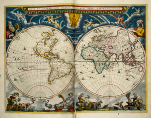
A Chart of the islands of Ane…
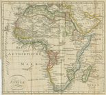
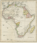
Africa
Isle de Malthe
Isles dv Cap Verd
m
A New and Accurate Map of the…
topic:
Toy and movable
books
I. Goree
L"empire du Monomotapa et la …
Afrique Ancienne
Afrique Moderne
Colony of Liberia, on the Wes…
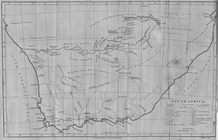
South Africa
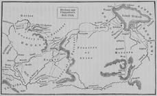
Denham and Clapperton's Routes
Le Ruyavme d Abyssinie ou lem…
Isle de Madagascar dite de St…
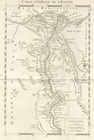
Carte Generale de L'Egypte.
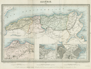
Algerie
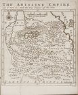
The Abissine Empire as it now…
Partie Septentrionale de L'An…
Plan of Africa
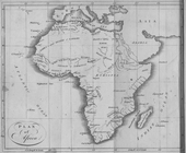
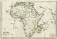
Map of Africa
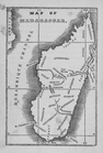
Map of Madagascar
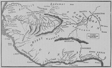
Park's First and Second Route…
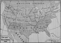
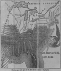
Map of free states, slave sta…
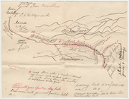
Hand-drawn map
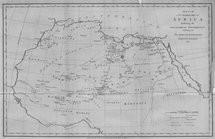
Map of Africa
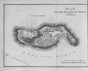
Plan of the Island of Goree
Afrique, par J. B. Poirson
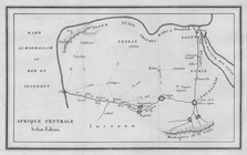
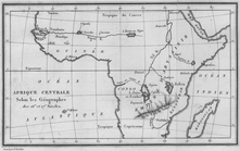
Afrique Centrale. Selon Edris…
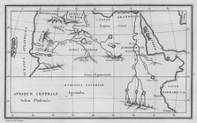
Afrique Centrale Selon Ptolem…
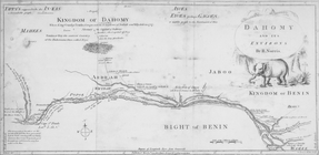
Dahomy and its environs by R.…
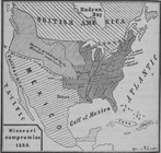
Diagr. V ; Missouri compromis…
Diagr. VII ; Free and slave s…
Das freie und das Sklaverei-G…
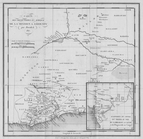
Sketch of the Northern Part o…
Afrique Occidentale Montrant …
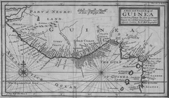
A New and Exact Map of Guinea…
The Course of the River Cali …
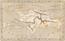
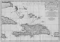
Map of Hispaniola. Hayti or S…
… for Taintor's guide
books
note:
…"Prepared for Taintor's guide
books
The Political Division of Afr…
Carte des Parties Centrales D…
Carte des Decouvertes en Afri…
Afrique Centrale Selon les Ge…
Carte de L'Isle de Saint-Domi…
Slavery is a dark spot on the…
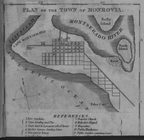
Plan of the Town of Monrovia
Africa North East of the Cape…
1. Plan de L'Isle St. louis, …
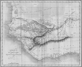
Map of the Western Coast of A…
Chorographia qua Noe Arcam eg…
topic:
Rare
books
1
2
3
4
5
6
7
8
9
10
…
12
13
Previous
Next
1
2
3
4
5
6
7
8
9
10
…
12
13
Previous
Next