Click to visit the main New York Public Library Homepage
The New York Public Library
Digital Collections
About Digital Collections
Browse
Search only public domain materials
Items
Collections
Divisions
Home
Search
Browse
About
Search only public domain materials
Items
Collections
Divisions
Digital Collections
Using Images
Using Data
Search
Filtered keyword search
Show filters
Hide filters
Show Only Public Domain
topic
Administrative and political divisions
1
Early works to 1800
1
Maps
1
name
Jansson, Jan, 1588-1664
2
Ortelius, Abraham, 1527-1598
2
Ohman, August R
1
collection
Maps of North and South America
4
Bancker plans
2
Maps of New York City and State
1
place
Western Hemisphere
4
America
2
Antarctica
2
Arctic regions
2
New Guinea
2
More
Less
genre
Maps
7
Early maps
3
Surveys
2
land surveys
2
publisher
A. Ortelius
2
Ioannes Ianssonius
2
August R. Ohman
1
division
Map Division
5
Manuscripts and Archives Division
2
type
x
cartographic
text
2
Date Range
to
7 results found for:
x
Matches
Filtering on:
x
Type
: cartographic
Sort by:
Relevance
Title
Date created
Date digitized
Sequence
m
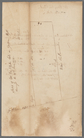
Golden Hill
note:
… 47
matches
this plan
m
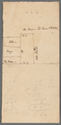
Sketch of lots
note:
…. Sketch on verso
matches
m
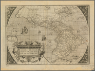
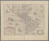
Americae sive novi orbis, nov…
note:
Matches
Tooley's 1581 signature 5
m
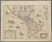
America noviter delineata
note:
Matches
Tooley's description of edition
m
Americae sive novi orbis, nov…
note:
Matches
Tooley's 1573 signature 2
m
America noviter delineata
note:
… Vol. 1, 192. ;
Matches
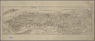
Map of Manhattan and part of …
note:
Assembly Districts do not
match
those