Click to visit the main New York Public Library Homepage
The New York Public Library
Digital Collections
About Digital Collections
Browse
Search only public domain materials
Items
Collections
Divisions
Home
Search
Browse
About
Search only public domain materials
Items
Collections
Divisions
Digital Collections
Using Images
Using Data
Search
Filtered keyword search
Show filters
Hide filters
Show Only Public Domain
topic
Real property
99
Atlases, British
23
Geography, Ancient
23
Maps in education
23
Railroads
15
More
Less
name
Fairchild, John F
65
Wells, Edward, 1667-1727
25
Sheldonian Theatre
23
Sanborn Map Company
10
G.W. Bromley & Co
8
More
Less
collection
Atlases of the United States
91
Maps of North America
41
Atlases of New York City
32
Maps of New York City and State
26
Lawrence H. Slaughter Collection of English maps, charts, globes, books and atlases
24
More
Less
place
New York (State)
112
Mount Vernon (Westchester County, N.Y.)
67
Mount Vernon
66
Pelham
39
Pelham (N.Y.)
39
More
Less
genre
Maps
219
Atlases
91
Topographic maps
11
Cadastral maps
8
Tourist maps
6
More
Less
publisher
Fairchild, John F
65
Printed at the Theater,
23
Sanborn Map Company
10
E. Belcher Hyde
7
publisher not identified
7
More
Less
division
Map Division
216
Manuscripts and Archives Division
2
General Research Division
1
Milstein Division
1
type
x
cartographic
still image
3
Date Range
to
220 results found for:
x
Shasta, Mount (Calif. : Mountain)
Filtering on:
x
Type
: cartographic
Sort by:
Relevance
Title
Date created
Date digitized
Sequence
Geological map of
Shasta
County …
m
Mount
Pitt
m
Sketch of
Mount
Pitt
… [Map bounded by
Mount
Kemble Rd.,
Mountain
Rd.]
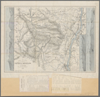
Map of the Catskill
Mountains
Map of the Catskill
Mountains
m
Map of the Catskill
Mountains
note:
…
Mountains
, Elevations above
Iron
Mountain
City …
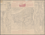
Map of the Catskill
Mountains
Map of the Catskill
Mountains
note:
…, southward; South
Mountain
m
Map of the Catskill
Mountains
note:
…, southward; South
Mountain
Map of the Catskill
Mountains
Map of the Catskill
Mountains
m
Map of the Catskill
Mountains
abstract:
…
Mountain
, southwest
… [
Calif
.] …
Plan of the cemetery of
Mount
Auburn
Plan of the cemetery of
Mount
Auburn
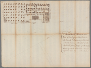
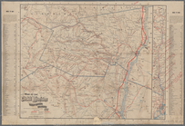
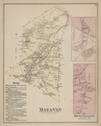
Map of city of
Mount
Vernon
Map of Washington's farms at
Mount
Vernon
Map of
Mount
Vernon Place, Baltimore
abstract:
Survey plan of
Mount
Vernon Place
Map of
Mount
Desert Island, Maine
note:
… the map of
Mount
Desert
Map of the White
Mountains
of New Hampshire
note:
…, post offices,
mountain
Birds-eye view of the White
Mountains
note:
Includes index of different
mountains
manes.
Map of the White
Mountains
of New Hampshire
note:
…"Copyright 1887, by Appalachian
Mountain
Club."…
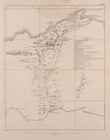
Mountain
region of North Carolina
topic:
Mountains
A map of the White
Mountains
of New Hampshire
m
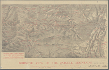
Bird's-eye view of the Catskill
Mountains
note:
… of the Catskill
Mountains
" ; list
Map of Crazy
Mountains
and vicinity
… to the White
Mountains
Geological section of the Coast
Mountains
Crawford's map of the White
Mountains
of New
Topographical map of Monadnock
Mountain
, New
m
Maps of the picturesque Catskill
Mountains
Plan of Bar Harbor,
Mount
Desert Island
Mount
Desert [Island] via Boston
Troy University.
Mount
Ida. ; City
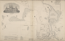
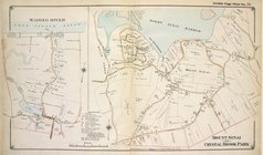
Wading River;
Mount
Sinai and Crystal Brook
Preliminary chart of
Mount
Hope Bay, Rhode
Map of road to the
Mountains
of the Emeralds
…
Mountains
, New Hampshire
note:
Pictorial map of the White
Mountains
with 4
Path map of the eastern part of
Mount
note:
… the map of
Mount
Desert
m
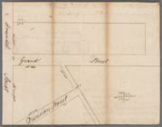
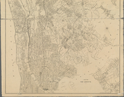
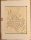
Map of the Bronx [including Yonkers,
Mount
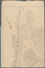
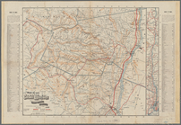
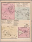
Plate 34:
Mount
Vernon, Westchester Co. N
collection:
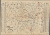
Plate 34:
Mount
Vernon, Westchester Co
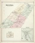
Plate 54:
Mount
Kisco - Bedford
… [Township];
Mount
Pleasant
… to
Mount
Negro
Mounr Hope [Township];
Mount
Hope
m
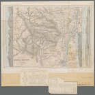
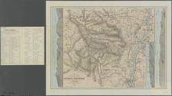
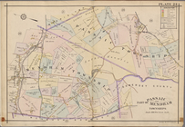
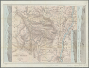
Map of
Mount
Vernon and environs, Westchester Co
Mount
Holly, survey 1885, ed. of 1898, repr
… Nevada [
Calif
.] …
note:
Wheat, C.I. Maps
Calif
. gold region, no