Click to visit the main New York Public Library Homepage
The New York Public Library
Digital Collections
About Digital Collections
Browse
Search only public domain materials
Items
Collections
Divisions
Home
Search
Browse
About
Search only public domain materials
Items
Collections
Divisions
Digital Collections
Using Images
Using Data
Search
Keyword search
Show filters
Hide filters
Show Only Public Domain
topic
Exhibitions
151
Real property
81
Landowners
68
History
39
Maps
34
More
Less
name
New York World's Fair (1939-1940 : New York, N.Y.)
151
Nicolaus Germanus, active 15th century
27
Ptolemy, 2nd cent
27
Dati, Gregorio, 1362-1436
26
Grand Central Terminal (New York, N.Y.)
17
More
Less
collection
Bancker plans
950
Maps of North America
154
New York World's Fair 1939 and 1940 Incorporated records
151
Maps of New York City and State
115
Renaissance and medieval manuscripts collection
75
More
Less
place
New York (State)
260
New York
208
New York (N.Y.)
74
Manhattan (New York, N.Y.)
47
Africa
42
More
Less
genre
Maps
1469
Surveys
974
land surveys
835
Manuscript maps
151
Documents
141
More
Less
publisher
Wolfgang, Waesberge, Boom & van Someren
42
producer not identified
30
publisher not identified
28
U.S. Light-House Board
14
Producer not identified
8
More
Less
division
Manuscripts and Archives Division
1281
Map Division
295
Schomburg Manuscripts, Archives and Rare Books Division
110
Spencer Collection
20
Berg Collection
8
More
Less
type
cartographic
1463
still image
303
text
286
Date Range
to
Looking for this collection?
Bancker plans
1,080 items
1,734 results found for:
Maps, Manuscript
Sort by:
Relevance
Title
Date created
Date digitized
Sequence
Results 751 - 800
m
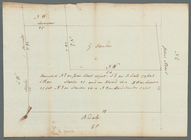
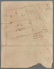
John Hopper's at Bloomingdale
m
John Jackson's gore near the …
m
John Jay's ground corner Broa…
m
John Kline's grand house lot
m
John Lambert's two lots in th…
m
John Rapelie - survey of part…
m
John Rapelie estate Brooklyn …
m
John Robert Livingston's hous…
m
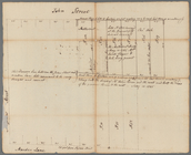
John Street
m
John Street
m
John Street near Queen Street…
m
John Thurman's lots - Wall St…
m
John Thurman's lots Wall and …
m
John Watts at Potterfield
m
John Wilkes's five acre lot a…
m
Jon. Biddle's draught on Assu…
note:
Mapping
the Nation (NEH grant, 2015-2018)…
m
Jon. Jewel's draught for 105 …
note:
Mapping
the Nation (NEH grant, 2015-2018)…
m
Jonathan Provoost's land at B…
m
Jos. Kirkbrid's 1250 acre tra…
note:
Mapping
the Nation (NEH grant, 2015-2018)…
m
Joseph Slipper's lot on the n…
m
Kelsey's farm, upland and mea…
Key
map
m
Killy Vale
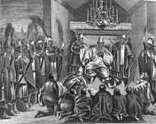
King Alvaro, Kongo.
m
King and Nassau Streets
m
King George Street
m
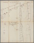
King Street
m
King Street
m
King Street
m
King Street
m
King Street
m
King's farm and Mr. Embree's …
m
Kings Bridge Road
m
Kingston's ground on Long Isl…
m
Kip Street
m
Kip's Bay
m
Kip's Bay
m
Knickerbocker Village
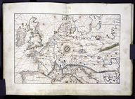
L"empire du Monomotapa et la …
m
Land adjoining Hudson River a…
m
Land at Harlem
m
Land at Westchester belonging…
m
Land cleared near Mr. Apthorp…
m
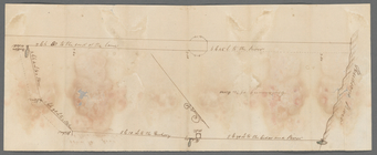
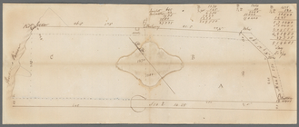
Land computations and notes
Land given to the town of Qui…
note:
Mapping
the Nation (NEH grant, 2015-2018)…
m
Land leased to Andrew Drewry
Land
map
in the portolan style, showing
topic:
Manuscripts
, Italian
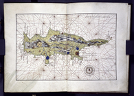
Land
map
of Cyprus in the portolan style
topic:
Manuscripts
, Italian
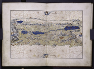
Land
map
of Palestine in the portolan
topic:
Manuscripts
, Italian
m
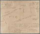
Land sold by Benjamin Vandewa…
1
2
3
4
5
6
7
Previous
Next
1
2
3
4
5
6
7
Previous
Next