Click to visit the main New York Public Library Homepage
The New York Public Library
Digital Collections
About Digital Collections
Browse
Search only public domain materials
Items
Collections
Divisions
Home
Search
Browse
About
Search only public domain materials
Items
Collections
Divisions
Digital Collections
Using Images
Using Data
Search
Keyword search
Show filters
Hide filters
Show Only Public Domain
topic
Real property
486
Administrative and political divisions
245
Railroads
238
Landowners
128
History
87
More
Less
name
E. Belcher Hyde Map Company
265
E.B. Hyde & Co
265
Ullitz, Hugo
265
United States. Farm Security Administration
89
New York (N.Y.). Board of Estimate and Apportionment
81
More
Less
collection
Maps of North America
725
Maps of New York City and State
564
Atlases of New York City
454
Farm Security Administration Photographs
88
Atlases of the United States
87
More
Less
place
New York (State)
868
New York
563
New York (N.Y.)
390
Brooklyn (New York, N.Y.)
372
Maps
344
More
Less
genre
Maps
1960
Photographs
146
Cadastral maps
121
Prints
120
Atlases
85
More
Less
publisher
E. Belcher Hyde
269
publisher not identified
90
New York (N.Y.). Board of Estimate and Apportionment
38
M.B. Brown Printing & Binding Co.,
37
New York (N.Y.). Dept. of City Planning
37
More
Less
division
Map Division
1964
Wallach Division: Photography Collection
107
Wallach Division: Picture Collection
41
General Research Division
40
Billy Rose Theatre Division
35
More
Less
type
cartographic
1962
still image
384
text
89
moving image
7
sound recording
6
More
Less
Date Range
to
2,373 results found for:
Scales
Sort by:
Relevance
Title
Date created
Date digitized
Sequence
Results 751 - 800
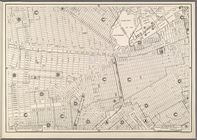
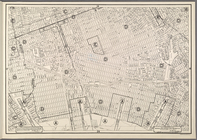
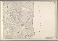
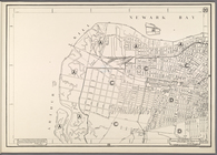
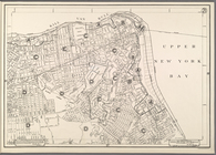
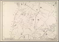
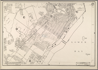
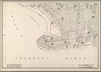
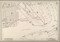
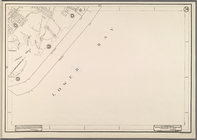
Area District Map Section No.…
note:
Scale
approximately 1:12,000.
Area District Map Section No.…
note:
Scale
approximately 1:12,000.
Area District Map Section No.…
note:
Scale
approximately 1:12,000.
Area District Map Section No.…
note:
Scale
approximately 1:12,000.
Area District Map Section No.…
note:
Scale
approximately 1:12,000.
Area District Map Section No.…
note:
Scale
approximately 1:12,000.
Area District Map Section No.…
note:
Scale
approximately 1:12,000.
Area District Map Section No.…
note:
Scale
approximately 1:12,000.
Area District Map Section No.…
note:
Scale
approximately 1:12,000.
Area District Map Section No.…
note:
Scale
approximately 1:12,000.
Area District Map Section No.…
note:
Scale
approximately 1:12,000.
Area District Map Section No.…
note:
Scale
approximately 1:12,000.
Area District Map Section No.…
note:
Scale
approximately 1:12,000.
Area District Map Section No.…
note:
Scale
approximately 1:12,000.
Area District Map Section No.…
note:
Scale
approximately 1:12,000.
Area District Map Section No.…
note:
Scale
approximately 1:12,000.
Area District Map Section No.…
note:
Scale
approximately 1:12,000.
Area District Map Section No.…
note:
Scale
approximately 1:12,000.
Area District Map Section No.…
note:
Scale
approximately 1:12,000.
Area District Map Section No.…
note:
Scale
approximately 1:12,000.
Area District Map Section No.…
note:
Scale
approximately 1:12,000.
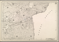
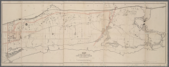
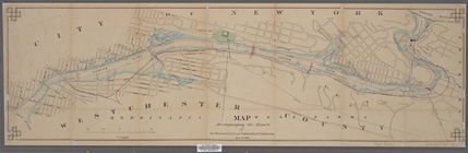
Map of the suburban territory…
note:
Scale
approximately 1:350,000 (W 74°11ʹ32ʺ--W
Map
Scale
New York City Planning
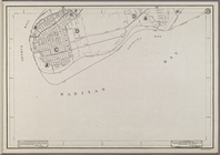
Map of the city of Brooklyn
note:
Scale
not given (W 74°01ʹ--W 73°53ʹ/N 40°44
Map of the county of Kings, s…
note:
Scale
not given (W 74°02ʹ34ʺ--W 73°50ʹ00ʺ/N
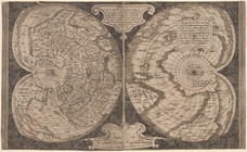
World map on double cordiform…
note:
Scale
[ca. 1:65,000,000] ; Cordiform
m
Tentative use districts, Manh…
note:
Scale
not given.
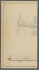
Park between 35th and 36th St…
note:
Scale
1:240.
Map of Bayside, third ward, b…
note:
Scale
not given (W 73°46ʹ40ʺ--W 73°45ʹ05ʺ/N
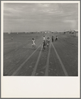
Ken Dewey and student examin…
note:
Jyväskylä. Lecture series and large
scale
Pencil sketch of part of Vien…
note:
Scale
not given (E 102°00ʹ--E 103°06ʹ/N
Map of the boundary lines bet…
note:
… of Washington 1842.
Scale
Key West Harbor and its appro…
note:
Scale
1:50,000 (W 82°24ʹ--W 81°24ʹ/N 24°53
Sketch F showing the progress…
abstract:
…. engrs." (
Scale
1:31,680
A series of columnar sections…
note:
…"Vertical
scale
m
Plan and profile showing the …
note:
…"Profile horizontal & vertical
scale
= 30 feet
Le nouveau monde descouvert e…
note:
Scale
approximately 1:45,000,000 (E 141°28ʹ00ʺ--W
Map of that part of the city …
note:
Scale
[ca. 1:6,375]. (W 73°57ʹ14ʺ--W 73°54
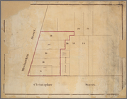
Block bounded by 2nd Ave., 99…
note:
Scale
not given. (W 73°56ʹ47ʺ--W 73°56ʹ30ʺ/N
m
…-
scale
corporate farming
collection:
…. Large-
scale
corporate farming
Manuscript map of lots at cor…
note:
Scale
not given. (W 74°00ʹ35ʺ--W 74°00ʹ32ʺ/N
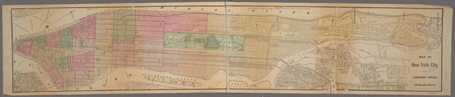
Map of the City of New York. …
note:
Scale
not given. (W 74°01ʹ15ʺ--W 73°57ʹ29ʺ/N
Map accompanying the report o…
note:
Scale
1:9,200. (W 73°56ʹ23ʺ--W 73°54ʹ34ʺ/N
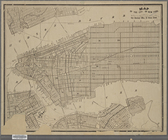
Map of New York City.
note:
Scale
1:15,840. (W 74°01ʹ11ʺ--W 73°54ʹ29ʺ/N
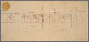
Paving map [Reade Street from…
note:
Scale
not given. (W 74°00ʹ33ʺ--W 74°00ʹ12ʺ/N
New & accurate map of North A…
note:
Scale
[ca. 1:40,000,000].
An accurate map of North Amer…
note:
Scale
[ca. 1:45,000,000] (W 140⁰--W 0⁰/N
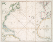
A chart of the Atlantic or We…
note:
Scale
[ca. 1:13,000,000] (W 85⁰--E 10⁰/N
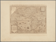
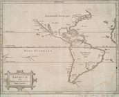
Americae sive Indiae occident…
note:
Scale
[ca. 1: 60,000,000].
A perspective view of Lake Ge…
note:
Scale
not given. Relief shown by hachures
1
2
3
4
5
6
7
8
9
10
Previous
Next
1
2
3
4
5
6
7
8
9
10
Previous
Next