Click to visit the main New York Public Library Homepage
The New York Public Library
Digital Collections
About Digital Collections
Browse
Search only public domain materials
Items
Collections
Divisions
Home
Search
Browse
About
Search only public domain materials
Items
Collections
Divisions
Digital Collections
Using Images
Using Data
Search
Keyword search
Show filters
Hide filters
Show Only Public Domain
topic
Dwellings
307
Apartment houses
304
Geography
227
Exhibitions
157
Atlases, British
100
More
Less
name
Thornton, Samuel
182
New York World's Fair (1939-1940 : New York, N.Y.)
152
Ortelius, Abraham, 1527-1598
128
Coignet, Michel, 1549-1623
126
Shawe, James
126
More
Less
collection
Atlases, gazetteers, guidebooks and other books
404
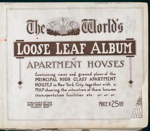
The World's loose leaf album of apartment houses: containing views and ground plans of the principal high class apartment houses in New York City, together with a map showing the situation of these houses, transportation facilities, etc
304
Lawrence H. Slaughter Collection of English maps, charts, globes, books and atlases
253
New York World's Fair 1939 and 1940 Incorporated records
151
Kelly Miller's history of the world war for human rights: being an intensely human and brilliant account of the world war and why and for what purpose America and the allies are fighting and the important part taken by the Negro, including the horrors and wonders of modern warfare, the new and strange devices, etc. ... by Kelly Miller ... illustrated with 128 genuine pictures from recent official photographs, also outline map drawings
67
More
Less
place
New York (State)
477
New York
468
Maps
44
North America
22
Great Britain
20
More
Less
genre
Maps
739
Photographs
530
Floor plans
304
Nautical charts
173
Prints
31
More
Less
publisher
N.Y. World
304
Printed for Ieames Shawe, and are to be solde at his shoppe nigh Ludgate,
126
S. A. Mitchell, jr
79
Printed for Robert Sayer, No. 53, Fleet-Street
76
Austin Jenkins Co
67
More
Less
division
Map Division
761
Milstein Division
305
Manuscripts and Archives Division
153
Schomburg Jean Blackwell Hutson Research and Reference Division
71
Wallach Division: Picture Collection
44
More
Less
type
cartographic
728
still image
602
text
413
sound recording
2
Date Range
to
Looking for one of these collections?
Atlases, gazetteers, guidebooks and other books
572 items
The World's loose leaf album of apartment houses: containing views and ground plans of the principal high class apartment houses in New York City, together with a map showing the situation of these houses, transportation facilities, etc.
304 items
1,399 results found for:
World maps
Sort by:
Relevance
Title
Date created
Date digitized
Sequence
Results 1001 - 1050
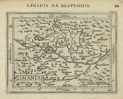
Limania.
note:
… to Early
Maps
of the Middle
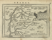
Auriacus Princip[atus].
note:
… to Early
Maps
of the Middle
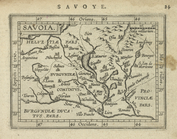
Savoia.
note:
… to Early
Maps
of the Middle
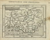
Provincia.
note:
… to Early
Maps
of the Middle
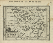
Burgundiae Duc.
note:
… to Early
Maps
of the Middle
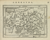
Lotharingia.
note:
… to Early
Maps
of the Middle
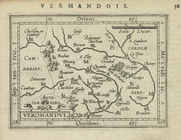
Veromandui.
note:
… to Early
Maps
of the Middle
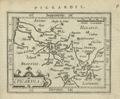
Picardia.
note:
… to Early
Maps
of the Middle
Gallia Belgica.
note:
… to Early
Maps
of the Middle
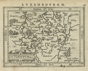
Lutzenburg.
note:
… to Early
Maps
of the Middle
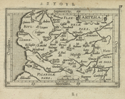
Artesia.
note:
… to Early
Maps
of the Middle
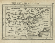
Namurcum.
note:
… to Early
Maps
of the Middle
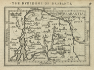
Brabantia.
note:
… to Early
Maps
of the Middle
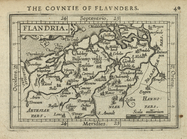
Flandria.
note:
… to Early
Maps
of the Middle
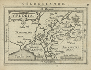
Geldria.
note:
… to Early
Maps
of the Middle
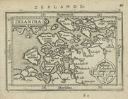
Zelandia.
note:
… to Early
Maps
of the Middle
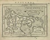
Hollandia.
note:
… to Early
Maps
of the Middle
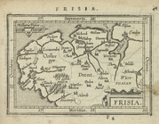
Frisia.
note:
… to Early
Maps
of the Middle
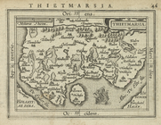
Thietmarsia.
note:
… to Early
Maps
of the Middle
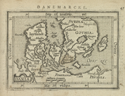
Dania.
note:
… to Early
Maps
of the Middle
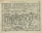
Pomerania.
note:
… to Early
Maps
of the Middle
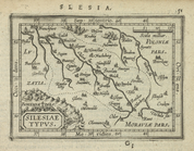
Silesiae Typus.
note:
… to Early
Maps
of the Middle
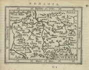
Bohemia.
note:
… to Early
Maps
of the Middle
Salisburgensis Archiepiscopat…
note:
… to Early
Maps
of the Middle
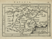
Bavaria.
note:
… to Early
Maps
of the Middle
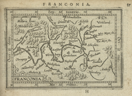
Franconia.
note:
… to Early
Maps
of the Middle
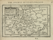
Wirtenberg. Duc.
note:
… to Early
Maps
of the Middle
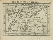
Tirolis Comitat.
note:
… to Early
Maps
of the Middle
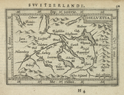
Helvetia.
note:
… to Early
Maps
of the Middle
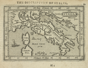
Italia.
note:
… to Early
Maps
of the Middle
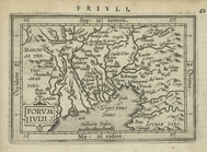
Forumiulii.
note:
… to Early
Maps
of the Middle
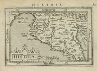
Histria.
note:
… to Early
Maps
of the Middle
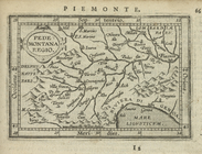
Pedemontana Regio.
note:
… to Early
Maps
of the Middle
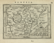
Perusia.
note:
… to Early
Maps
of the Middle
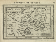
Oropitum.
note:
… to Early
Maps
of the Middle
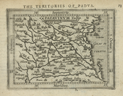
Patavinum Ter.
note:
… to Early
Maps
of the Middle
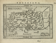
Bressiano.
note:
… to Early
Maps
of the Middle
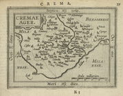
Cremae Ager.
note:
… to Early
Maps
of the Middle
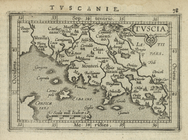
Tuscia.
note:
… to Early
Maps
of the Middle
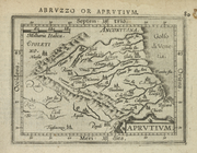
Aprutium.
note:
… to Early
Maps
of the Middle
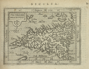
Siciliae descriptio.
note:
… to Early
Maps
of the Middle
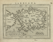
Sardiania.
note:
… to Early
Maps
of the Middle
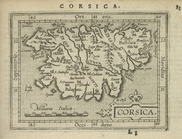
Corsica.
note:
… to Early
Maps
of the Middle
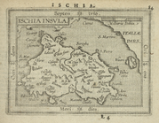
Ischia Insula.
note:
… to Early
Maps
of the Middle
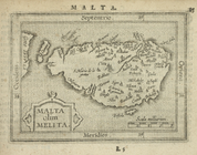
Malta olim Melita.
note:
… to Early
Maps
of the Middle
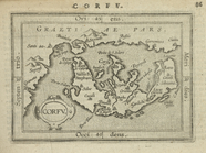
Corfu.
note:
… to Early
Maps
of the Middle
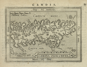
Candia olim Creta.
note:
… to Early
Maps
of the Middle
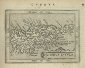
Cyprus Insula.
note:
… to Early
Maps
of the Middle
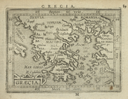
Graecia.
note:
… to Early
Maps
of the Middle
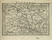
Hungaria.
note:
… to Early
Maps
of the Middle
1
2
3
4
5
6
Previous
Next
1
2
3
4
5
6
Previous
Next