Click to visit the main New York Public Library Homepage
The New York Public Library
Digital Collections
About Digital Collections
Browse
Search only public domain materials
Items
Collections
Divisions
Home
Search
Browse
About
Search only public domain materials
Items
Collections
Divisions
Digital Collections
Using Images
Using Data
Search
Keyword search
Show filters
Hide filters
Show Only Public Domain
topic
Exhibitions
151
Real property
81
Landowners
68
History
39
Maps
35
More
Less
name
Miller, B. K. (Benjamin Kurtz), 1857-1928
799
New York World's Fair (1939-1940 : New York, N.Y.)
151
Nicolaus Germanus, active 15th century
27
Ptolemy, 2nd cent
27
Dati, Gregorio, 1362-1436
26
More
Less
collection
Bancker plans
950
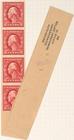
Benjamin K. Miller collection of United States stamps
799
Maps of North America
154
New York World's Fair 1939 and 1940 Incorporated records
151
Maps of New York City and State
115
More
Less
place
New York (State)
260
New York
208
New York (N.Y.)
75
Manhattan (New York, N.Y.)
48
Africa
42
More
Less
genre
Maps
1469
Surveys
974
land surveys
835
Postage stamps
799
Manuscript maps
151
More
Less
publisher
Wolfgang, Waesberge, Boom & van Someren
42
producer not identified
30
publisher not identified
28
U.S. Light-House Board
14
Producer not identified
8
More
Less
division
Manuscripts and Archives Division
2079
Map Division
295
Schomburg Manuscripts, Archives and Rare Books Division
110
Spencer Collection
21
Berg Collection
8
More
Less
type
cartographic
1463
still image
1103
text
286
Date Range
to
Looking for this collection?
Bancker plans
1,080 items
2,534 results found for:
Maps%2C Manuscript
Sort by:
Relevance
Title
Date created
Date digitized
Sequence
2c
carmine Washington strip of four
m
2c
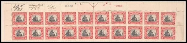
Sloop Restaurationen block of twenty
m
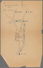
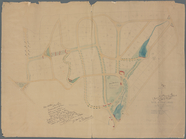
Jos. Kirkbrid's 1250 acre tra…
note:
Mapping
the Nation (NEH grant, 2015-2018)…
m
Saml. Devenport & Elizath. Ro…
note:
Mapping
the Nation (NEH grant, 2015-2018)…
m
Draught of 1855 acres lying u…
note:
Mapping
the Nation (NEH grant, 2015-2018)…
m
Coll. John Bryerly's draught …
note:
Mapping
the Nation (NEH grant, 2015-2018)…
m
Jon. Biddle's draught on Assu…
note:
Mapping
the Nation (NEH grant, 2015-2018)…
m
A plan of 8 acres land survey…
note:
Mapping
the Nation (NEH grant, 2015-2018)…
m
Draughts of land in Amwell in…
note:
Mapping
the Nation (NEH grant, 2015-2018)…
m
…
manuscript
map
of New York
m
Saml. Devenports mapp of his …
note:
Mapping
the Nation (NEH grant, 2015-2018)…
m
Return of three tract of pine…
note:
Mapping
the Nation (NEH grant, 2015-2018)…
m
Copy of the return of Joseph …
note:
Mapping
the Nation (NEH grant, 2015-2018)…
m
Saml. Devenports tract as ye …
note:
Mapping
the Nation (NEH grant, 2015-2018)…
m
Saml. Devenports draught & su…
note:
Mapping
the Nation (NEH grant, 2015-2018)…
m
John Biddle's survey of 219 a…
note:
Mapping
the Nation (NEH grant, 2015-2018)…
m
Mahlon Wright's draft of 86 a…
note:
Mapping
the Nation (NEH grant, 2015-2018)…
m
Coppy of M. Stacys survey, 13…
note:
Mapping
the Nation (NEH grant, 2015-2018)…
m
James Freese's mapp of his lo…
note:
Mapping
the Nation (NEH grant, 2015-2018)…
m
Draught of Gidion's Bickerdik…
note:
Mapping
the Nation (NEH grant, 2015-2018)…
m
Charls Reed's survey & draugh…
note:
Mapping
the Nation (NEH grant, 2015-2018)…
m
Draught of 8 3/4 acres of lan…
note:
Mapping
the Nation (NEH grant, 2015-2018)…
m
Jon. Jewel's draught for 105 …
note:
Mapping
the Nation (NEH grant, 2015-2018)…
m
Benjn. Field's surveys (of 17…
note:
Mapping
the Nation (NEH grant, 2015-2018)…
m
M. Stacy 1000 a. (survey of M…
note:
Mapping
the Nation (NEH grant, 2015-2018)…
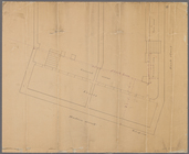
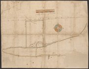
Manuscript
map
of corner of Hudson Street
Manuscript
map
of corner of Crosby Street
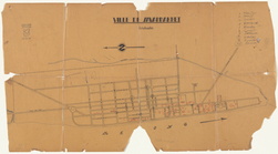
Ville de Savannakhet
abstract:
Manuscript
map
created for the "1959
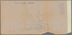
Plan du centre de Thakhek
abstract:
Manuscript
map
created for the "1959
m
Isaac Watson resurvey, 1724 (…
note:
Mapping
the Nation (NEH grant, 2015-2018)…
m
Return of land joyning to Tho…
note:
Mapping
the Nation (NEH grant, 2015-2018)…
m
John Biddle's survey of 472 a…
note:
Mapping
the Nation (NEH grant, 2015-2018)…
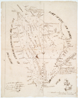
Pencil sketch of Rochester, N…
note:
Mapping
the Nation (NEH grant, 2015-2018)…
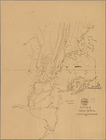
Map
No. II New York
New-York
note:
Mapping
the Nation (NEH grant, 2015-2018)…
Map
of the United States
note:
… to Early
Maps
of the Middle
Manuscript
map
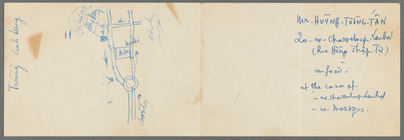
of "building" and "vault" near
m
Map
of part of Ho Chi Minh City
abstract:
Manuscript
map
, showing streets
Manuscript
map
of building at the corner
Pencil sketch of unidentified…
abstract:
Manuscript
map
created for the "1959
Map
of the province
note:
Photocopy of a
manuscript
map
dated: 10th
Information
map
, Hd. Qrs, 20th A.C., June
note:
… with devised title: [
Manuscript
m
Manuscript
maps
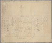
of block bounded by Grand
note:
Copy of ward
map
.
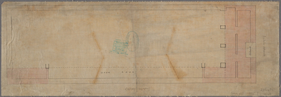
Map
of Knollwood, Elmsford, Westchester
note:
Manuscript
base
map
Topographical
map
of the northern section
note:
… to Early
Maps
of the Middle
A New chart of Delaware Bay :…
note:
… to Early
Maps
of the Middle
Map
of West's patent on west side
note:
… of
map
.
A
Map
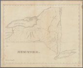
of the United States of America, 1830
note:
… to Early
Maps
of the Middle
m
Map
of Sayaboury
abstract:
Manuscript
map
Pencil sketch of part of Vien…
abstract:
Manuscript
map
created for the "1959
1
2
3
4
5
6
7
8
9
10
11
Previous
Next
1
2
3
4
5
6
7
8
9
10
11
Previous
Next