Click to visit the main New York Public Library Homepage
The New York Public Library
Digital Collections
About Digital Collections
Browse
Search only public domain materials
Items
Collections
Divisions
Home
Search
Browse
About
Search only public domain materials
Items
Collections
Divisions
Digital Collections
Using Images
Using Data
Search
Keyword search
Show filters
Hide filters
Show Only Public Domain
topic
Real property
316
Business enterprises
190
Maps
55
Railroads
45
Pictorial works
39
More
Less
name
Austro-Hungarian Monarchy. Militärgeographisches Institut
773
Stone & Stewart
151
Beers, S. N
146
Beers, D. G. (Daniel G.)
141
Geological Survey (U.S.)
101
More
Less
collection
Spezialkarte der Osterreichisch-Ungarischen Monarchie
773
Atlases of the United States
534
Maps of North America
316
Atlases of New York City
213
Maps of New York City and State
89
More
Less
place
New York (State)
425
Staten Island (New York, N.Y.)
91
Bronx (New York, N.Y.)
85
New Jersey
81
New York (N.Y.)
62
More
Less
genre
Maps
1897
Topographic maps
1062
Atlases
534
Prints
29
Cadastral maps
26
More
Less
publisher
K.u.K. Militargeographisches Institut
773
Stone & Stewart
99
Topographical Bureau
82
The Suvery
52
C. K. Stone
46
More
Less
division
Map Division
1931
Rare Book Division
18
General Research Division
5
Wallach Division: Picture Collection
5
Wallach Division: Print Collection
5
type
cartographic
1909
text
51
still image
26
Date Range
to
Looking for this collection?
Spezialkarte der Osterreichisch-Ungarischen Monarchie
774 items
1,964 results found for:
Topographic maps
Sort by:
Relevance
Title
Date created
Date digitized
Sequence
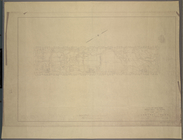
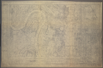
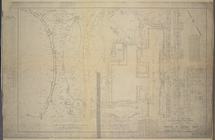
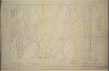
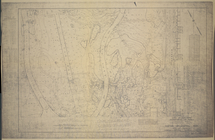
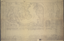
M-T-10-100: Index
Map
of Central Park
note:
Each
map
includes
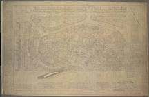
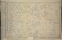
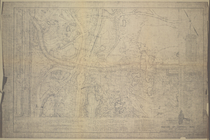
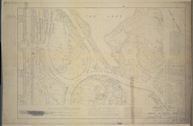
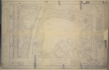
M-T-10-101: [Bounded by West …
note:
Each
map
includes
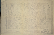
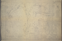
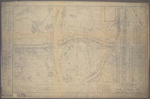
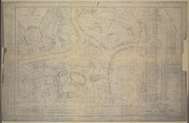
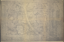
M-T-10-102: [Bounded by East …
note:
Each
map
includes
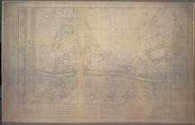
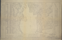
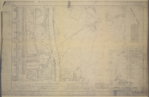
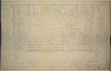
M-T-10-103: [Bounded by West …
note:
Each
map
includes
M-T-10-104: [Bounded by East …
note:
Each
map
includes
M-T-10-105: [Bounded by West …
note:
Each
map
includes
M-T-10-106: [Bounded by North…
note:
Each
map
includes
M-T-10-107: [Bounded by West …
note:
Each
map
includes
M-T-10-108: [Bounded by North…
note:
Each
map
includes
M-T-10-109: [Bounded by West …
note:
Each
map
includes
M-T-10-110: [Bounded by Bridl…
note:
Each
map
includes
M-T-10-111: [Bounded by West …
note:
Each
map
includes
M-T-10-112: [Bounded by Bridl…
note:
Each
map
includes
M-T-10-113: [Bounded by West …
note:
Each
map
includes
M-T-10-114: [Bounded by Bridl…
note:
Each
map
includes
M-T-10-115: [Bounded by West …
note:
Each
map
includes
M-T-10-116: [Bounded by East …
note:
Each
map
includes
M-T-10-117: [Bounded by Centr…
note:
Each
map
includes
M-T-10-118: [Bounded by East …
note:
Each
map
includes
M-T-10-119: [Bounded by West …
note:
Each
map
includes
M-T-10-120: [Bounded by (The …
note:
Each
map
includes
M-T-10-121: [Bounded by West …
note:
Each
map
includes
M-T-10-122: [Bounded by (The …
note:
Each
map
includes
M-T-10-123: [Bounded by West …
note:
Each
map
includes
M-T-10-124: [Bounded by (The …
note:
Each
map
includes
M-T-10-125: [Bounded by West …
note:
Each
map
includes
M-T-10-126: [Bounded by (The …
note:
Each
map
includes
M-T-10-127: [Bounded by Colum…
note:
Each
map
includes
M-T-10-128: [Bounded by (The …
note:
Each
map
includes
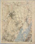
Staten Island, N.Y., ed. of F…
collection:
New York, 15 minute series (
topographic
)…
Paterson, N.J. - N.Y., ed. of…
collection:
… (
topographic
)…
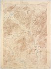
Santanoni, ed. of Mar. 1904, …
collection:
New York, 15 minute series (
topographic
)…
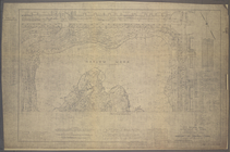
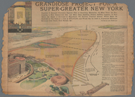
Grandiose Project for a Super…
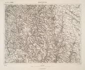
Korosmezo und Mikuliczyn.
m
Military
map
of Cuba
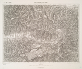
Boskowitz und Blansko (Mahren…
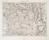
Kremsier und Prerau (Mahren).
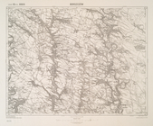
Neumarkt (Nowytarg) und Zakop…
Olublo und Szczawnica.
Rohatyn (Galizien).
Brunn.
Kesmark und Locse.
Monasterzyska.
Quellencebiet Der Gran
Tysmienica und Tlumacz.
Borszczow.
Hohenfurth und Rohrbach (Bohm…
Kaplitz und Freistadt.
Mistelbach (Nieder-Osterreich…
Landshut, Sasvar und Hohenau.
1
2
3
4
5
6
7
8
Previous
Next
1
2
3
4
5
6
7
8
Previous
Next