Click to visit the main New York Public Library Homepage
The New York Public Library
Digital Collections
About Digital Collections
Browse
Search only public domain materials
Items
Collections
Divisions
Home
Search
Browse
About
Search only public domain materials
Items
Collections
Divisions
Digital Collections
Using Images
Using Data
Search
Keyword search
Show filters
Hide filters
Show Only Public Domain
topic
Real property
340
Fire insurance
143
Public figures
125
Musicals
81
Gay activists
43
More
Less
name
Perris, William
311
Whitman, Walt, 1819-1892
213
O'Connor, William Douglas, 1832-1889
162
Perris & Browne
142
Miller, B. K. (Benjamin Kurtz), 1857-1928
107
More
Less
collection
Atlases of New York City
437
Walt Whitman papers, 1854-1892
233
Print Collection portrait file
125
Benjamin K. Miller collection of United States stamps
107
Wallach Division Picture Collection
83
More
Less
place
New York (State)
401
New York
344
Manhattan (New York, N.Y.)
323
New York (N.Y.)
85
United States
55
More
Less
genre
Maps
449
Photographs
385
Correspondence
277
Portraits
185
Clippings
126
More
Less
publisher
William Perris
143
Perris & Browne
124
Sanborn Map Company
39
Perris & Browne
38
G.W. Bromley & Co
29
More
Less
division
Map Division
326
Berg Collection
236
Manuscripts and Archives Division
206
Billy Rose Theatre Division
186
Wallach Division: Print Collection
141
More
Less
type
still image
762
cartographic
448
text
345
moving image
41
sound recording
9
More
Less
Date Range
to
1,571 results found for:
perris
Sort by:
Relevance
Title
Date created
Date digitized
Sequence
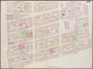
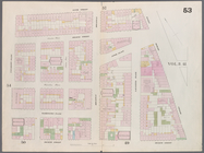
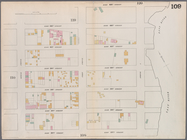
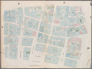
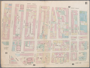
Map bounded by Murray Street,…
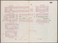
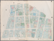
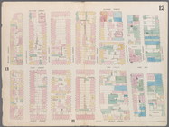
Map bounded by Canal Street, …
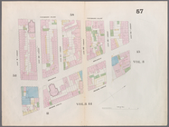
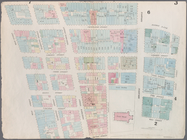
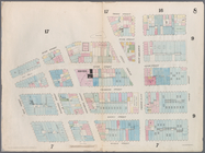
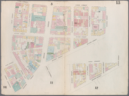
Map bounded by Hamersley Stre…
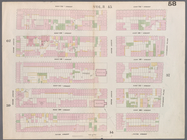
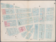
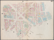
Map bounded by Spring Street,…
Map bounded by Broome Street,…
Map bounded by Houston Street…
Map bounded by Rivington Stre…
Map bounded by Division Stree…
Map bounded by 5th Street, Fi…
Map bounded by 4th Street, Bo…
m
Map bounded by 9th Street, Fo…
Map bounded by 9th Street, Un…
Map bounded by 14th Street, F…
Map bounded by 14th Street, U…
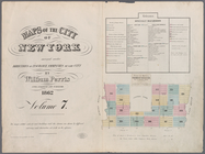
Maps of the city of New -York…
Map bounded by West 42nd Stre…
Map bounded by West 47th Stre…
Map bounded by West 47th Stre…
Map bounded by West 47th Stre…
Map bounded by West 52nd Stre…
Map bounded by West 52nd Stre…
Map bounded by West 52nd Stre…
Map bounded by West 57th Stre…
Map bounded by West 57th Stre…
Map bounded by West 57th Stre…
Map bounded by East 57th Stre…
Map bounded by East 57th Stre…
Map bounded by East 62nd Stre…
Map bounded by East 62nd Stre…
Map bounded by East 62nd Stre…
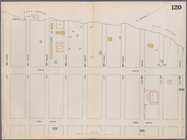
Map bounded by West 59th Stre…
Map bounded by West 62nd Stre…
Map bounded by West 64th Stre…
Map bounded by West 72nd Stre…
Map bounded by West 67th Stre…
Map bounded by West 72nd Stre…
Map bounded by East 67th Stre…
Map bounded by East 67th Stre…
Map bounded by East 72nd Stre…
Map bounded by East 72nd Stre…
Map bounded by East 72nd Stre…
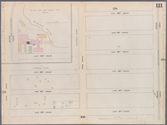
Map bounded by Dey Street, Br…
Map bounded by Maiden Lane, S…
Map bounded by Frankfort Stre…
Map bounded by City Hall Squa…
Map bounded by Duane Street, …
Map bounded by Chatham Street…
Map bounded by Chatham Square…
Map bounded by Division Stree…
Map bounded by Canal Street, …
1
2
3
4
5
6
7
Previous
Next
1
2
3
4
5
6
7
Previous
Next