Click to visit the main New York Public Library Homepage
The New York Public Library
Digital Collections
About Digital Collections
Browse
Search only public domain materials
Items
Collections
Divisions
Home
Search
Browse
About
Search only public domain materials
Items
Collections
Divisions
Digital Collections
Using Images
Using Data
Collections
Charting America: Maps from the Lawrence H. Slaughter Collection and Others
Charting America: Maps from the Lawrence H. Slaughter Collection and Others
Navigation
Filters
Charting America: Maps from the Lawrence H. Slaughter Collection and Others
Previous
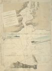
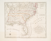
The south part of Virginia, now the north part of Carolina
0
Atlases, gazetteers, guidebooks and other books
377
Maps of the World
16
Maps of the Oceans
24
Maps of North and South America
23
Maps of North America.
551
Maps of New York City and State
1340
Lawrence H. Slaughter Collection of English maps, charts, globes, books and atlases
1020
John H. Levine Collection
60
More
Show filters
Hide filters
Show Only Public Domain
topic
Nautical charts
44
Indians of North America
27
Colonies
24
History
22
Geography
16
More
Less
name
Moll, Herman, -1732
19
Faden, William, 1749-1836
18
A.R. Ohman Map Co
12
Bolton, Reginald Pelham, 1856-1942
12
Museum of the American Indian, Heye Foundation
12
More
Less
collection
Lawrence H. Slaughter Collection of English maps, charts, globes, books and atlases
257
Maps of New York City and State
54
Maps of North and South America
40
John H. Levine Collection
39
Atlases, gazetteers, guidebooks and other books
9
More
Less
place
North America
139
America
69
Maps
39
New York (N.Y.)
39
New York (State)
38
More
Less
genre
Maps
405
Early maps
9
Facsimiles
6
Prints
5
Nautical charts
4
More
Less
publisher
s.n
15
Museum of the American Indian, Heye Foundation
12
Presso Antonio Zatta
12
publisher not identified
12
s.n.,
6
More
Less
division
Map Division
408
type
cartographic
406
text
10
still image
4
Date Range
to
409 results found for:
North America
Sort by:
Relevance
Title
Date created
Date digitized
Sequence
A chart of Delawar River from…
note:
LC Maps of
North
America
, 1750-1789, 1369
A chart of Delaware Bay and R…
note:
Appears in William Faden's
North
American
A chart of Delaware Bay and R…
note:
Oriented with
north
to the right.
A chart of Delaware Bay and R…
note:
Oriented with
north
to the right.
A chart of New York Harbour :…
note:
LC Maps of
North
America
, 1750-1789, 1232
A chart of New York Harbour :…
note:
LC Maps of
North
America
, 1750-1789, 1232
A chart of New York Island &
North
River
note:
… LC Maps of
North
America
, 1750-1789.
[A chart of New York Island &
North
note:
… to LC Maps of
North
America
, 1750-1789. …
m
A chart of
North
and South
America
note:
… settlements in
North
America
A chart of
North
and South
America
note:
… of
North
and South
America
A chart of the Atlantick Ocea…
note:
Covers east coast of
North
America
from
A chart of the bar of Sandy H…
note:
LC Maps of
North
America
, 1750-1789, 1293
A chart of the bar of Sandy H…
note:
LC Maps of
North
America
, 1750-1789, 1293
A chart of the coast of
America
: from
note:
Oriented with
north
toward the upper right.
…, Maryland, Virginia,
North
note:
LC Maps of
North
America
, 1750-1789, 766
A chart of the sea coast of N…
m
A chart of the West Indias fr…
m
A chart of the West Indias fr…
A chart of the West Indies fr…
… of New York in
North
America
… of New York in
North
America
… of New-York in
North
America
, divided
collection:
… of New-York in
North
America
m
… of New-York in
North
America
, divided
collection:
… of New-York in
North
America
… of New-York in
North
America
, divided
collection:
… of New-York in
North
America
… States of
America
: lat
note:
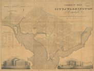
… of the Capitol and
north
front
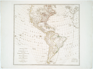
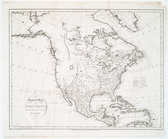
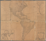
A General map of
America
divided into
North
A general map of
North
America
: drawn
A general map of
North
America
: from
A map of Florida and ye Great…
note:
Covers eastern
North
America
from
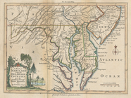
A map of Maryland with the De…
note:
LC Maps of
North
America
, 1750-1789, 1411
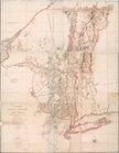
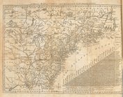
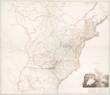
A map of New England, New Yor…
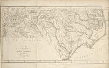
A map of
North
Carolina, from the best
m
… dominions in
North
America
… of the British dominions in
North
America
, according
A map of the British Empire in
America
…
note:
… Empire in
America
.
… on the continent of
America
note:
… (the 3rd v. of
America
A map of the countrey of the …
abstract:
… Lakes region of
North
America
, from the eastern
… and
North
Carolina
note:
LC Maps of
North
America
, 1750-1789, 1428
… dominions in
North
America
m
A map of the province of Pens…
note:
… of
America
, p. 673. Jolly, D.C. Maps of
America
A map of the provinces of New…
note:
LC Maps of
North
America
, 1750-1789, 1048
m
A map of the provinces of New…
note:
LC Maps of
North
America
, 1750-1789, 1048
A map of the states of Virginia,
North
Carolina
note:
Phillips. Maps of
America
, p. 985
A map of the states of Virginia,
North
Carolina
A map of the United States of
North
America
A map of the whole continent of
America
note:
… to
North
America
containing
A map of Virginia and Maryland
note:
Phillips. Maps of
America
, p. 979
A mappe of Colonel Römers voy…
topic:
Indians of
North
America
A mappe of Colonel Römers voy…
topic:
Indians of
North
America
… of New York in
North
America
1
2
Previous
Next
1
2
Previous
Next