Click to visit the main New York Public Library Homepage
The New York Public Library
Digital Collections
About Digital Collections
Browse
Search only public domain materials
Items
Collections
Divisions
Home
Search
Browse
About
Search only public domain materials
Items
Collections
Divisions
Digital Collections
Using Images
Using Data
Collections
Charting America: Maps from the Lawrence H. Slaughter Collection and Others
Charting America: Maps from the Lawrence H. Slaughter Collection and Others
Navigation
Filters
Charting America: Maps from the Lawrence H. Slaughter Collection and Others
Previous
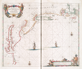
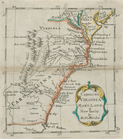
The south part of Virginia, now the north part of Carolina
0
Atlases, gazetteers, guidebooks and other books
377
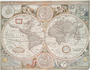
Maps of the World
16
Maps of the Oceans
24
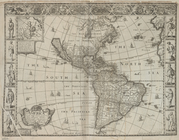
Maps of North and South America
23
Maps of North America.
551
Maps of New York City and State
1340
Lawrence H. Slaughter Collection of English maps, charts, globes, books and atlases
1020
John H. Levine Collection
60
More
Show filters
Hide filters
Show Only Public Domain
topic
Nautical charts
7
Atlases, British
6
Coasts
5
World maps
4
Atlases
2
More
Less
name
Cockerill, Thomas, active 1674-1702
3
Faden, William, 1749-1836
3
Fry, Joshua, approximately 1700-1754
3
Jefferson, Peter, 1708-1757
3
Melish, John, 1771-1822
3
More
Less
collection
Lawrence H. Slaughter Collection of English maps, charts, globes, books and atlases
27
Maps of New York City and State
12
Maps of the World
4
Atlases, gazetteers, guidebooks and other books
3
John H. Levine Collection
2
More
Less
place
x
Maps
Early works to 1800
18
New York (State)
7
Maryland
6
Middle Atlantic States
5
More
Less
genre
Maps
49
Prints
1
publisher
J. Melish
3
Printed for Robert Morden and Thomas Cockeril, at the Atlas in Cornhill, and at the Three Legs in the Poultrey, over against the Stocks-Market
3
Printed by A. Godbid and J. Playford, for John Seller ...,
2
Printed by George Ramsay and Company for John Thomson and Company, etc.,
2
Rob[er]t Laurie & James Whittle, No. 53 Fleet Street
2
More
Less
division
Map Division
50
type
cartographic
49
still image
1
text
1
Date Range
to
50 results found for:
x
Middle Atlantic States
Filtering on:
x
Place
: Maps
Sort by:
Relevance
Title
Date created
Date digitized
Sequence
… and
states
: also
note:
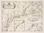
… to Early Maps of the
Middle
Atlantic
Seaboard.
A new and accurat map of the …
note:
Imprint on map indicates this is 4th
state
Isothermal chart, or, View of…
note:
…. Woodbridge of the
state
Moral and political chart of …
note:
…. Woodbridge of the
state
A map of the
state
of New York : exhibiting
note:
… to Early Maps of the
Middle
Atlantic
Seaboard.
America with those known part…
note:
… to Early Maps of the
Middle
Atlantic
Seaboard.
A new map of the most conside…
A chart of the sea coasts of …
note:
… to Early Maps of the
Middle
Atlantic
Seaboard.
Pas caerte van Nieu Nederland…
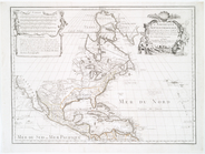
America.
note:
… to Early Maps of the
Middle
Atlantic
Seaboard.
A chart of the sea coasts of …
note:
… to Early Maps of the
Middle
Atlantic
Seaboard.
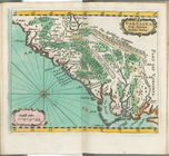
Carolina newly discribed
note:
… to Early Maps of the
Middle
Atlantic
Seaboard.
The Western Ilands
note:
… to Early Maps of the
Middle
Atlantic
Seaboard.
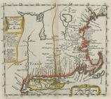
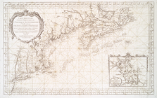
New England and New York
note:
… to Early Maps of the
Middle
Atlantic
Seaboard.
Carolina, Virginia, Mary Land…
note:
… to Early Maps of the
Middle
Atlantic
Seaboard.
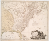
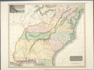
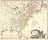
The United
States
of America
note:
… to Early Maps of the
Middle
Atlantic
Seaboard.
Carte de la Nouvelle York : y…
note:
… to Early Maps of the
Middle
Atlantic
Seaboard.
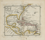
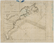
Chart of the Gulf Stream
note:
… to Early Maps of the
Middle
Atlantic
Seaboard.
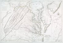
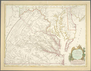
Carte de la Virginie et du Ma…
note:
The second
state
is described in Joshua Fry
Virginie, Maryland : en 2 feu…
note:
… to Early Maps of the
Middle
Atlantic
Seaboard.
…
States
of North America
note:
… to Early Maps of the
Middle
Atlantic
Seaboard.
A new and accurate chart (fro…
note:
… to Early Maps of the
Middle
Atlantic
Seaboard.
Carte de la Louisiane, Maryla…
note:
… to Early Maps of the
Middle
Atlantic
Seaboard.
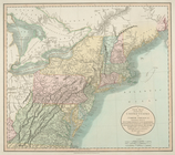
The United
States
of North America
note:
… to Early Maps of the
Middle
Atlantic
Seaboard.
Canada et Louisiane
note:
…
States
as well
A new map of part of the United
States
of North
note:
… to Early Maps of the
Middle
Atlantic
Seaboard.
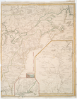
Northern provinces of the United
States
note:
… to Early Maps of the
Middle
Atlantic
Seaboard.
Southern provinces of the United
States
.
note:
… to Early Maps of the
Middle
Atlantic
Seaboard.
Carte reduite des costes orie…
note:
… to Early Maps of the
Middle
Atlantic
Seaboard.
L'Amerique Septentrionale : d…
note:
… to Early Maps of the
Middle
Atlantic
Seaboard.
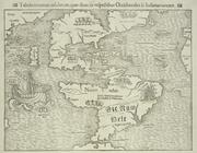
Tabula nouarum insularum, qua…
note:
… to Early Maps of the
Middle
Atlantic
Seaboard.
A plan of Fort Montgomery & F…
note:
From Des Barres'
Atlantic
neptune.
Long Island Sound from New Yo…
note:
… of the
state
of N. York."…
… Provinces : now
States
note:
… to Early Maps of the
Middle
Atlantic
Seaboard.
A geological section of the c…
note:
… to Early Maps of the
Middle
Atlantic
Seaboard.
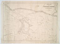
Route of the Albany & West St…
note:
… to Early Maps of the
Middle
Atlantic
Seaboard.
… to Hudson River in the
State
note:
… to Early Maps of the
Middle
Atlantic
Seaboard.
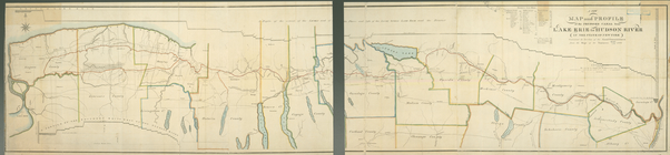
A new map of the Hudson River…
note:
… to Early Maps of the
Middle
Atlantic
Seaboard.
m
Oyster Bay and Huntington, Hu…
note:
… to Early Maps of the
Middle
Atlantic
Seaboard.
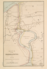
Sketch of the Niagara River.
note:
… to Early Maps of the
Middle
Atlantic
Seaboard.
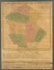
Map of the county of Sullivan
note:
… to Early Maps of the
Middle
Atlantic
Seaboard.
Map of the county of Westches…
note:
… H. Burr of the
State
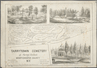
Tarrytown Cemetery at Sleepy …
note:
… to Early Maps of the
Middle
Atlantic
Seaboard.
A map of the village of Willi…
note:
… to Early Maps of the
Middle
Atlantic
Seaboard.
Hooker's new pocket plan of t…
note:
… of the
state
of N. York."…
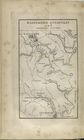
New York and adjacent country.
note:
… to Early Maps of the
Middle
Atlantic
Seaboard.
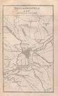
Philadelphia and adjacent cou…
note:
… to Early Maps of the
Middle
Atlantic
Seaboard.
Baltimore, Annapolis, and adj…
note:
… to Early Maps of the
Middle
Atlantic
Seaboard.
Carte de la Virginie et du Ma…
note:
Fifth
state
, according to: The Fry
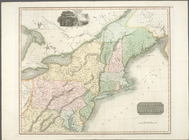
The United
States
of North America
note:
… to Early Maps of the
Middle
Atlantic
Seaboard.
End of results
|
Top