Click to visit the main New York Public Library Homepage
The New York Public Library
Digital Collections
About Digital Collections
Browse
Search only public domain materials
Items
Collections
Divisions
Home
Search
Browse
About
Search only public domain materials
Items
Collections
Divisions
Digital Collections
Using Images
Using Data
Collections
Charting America: Maps from the Lawrence H. Slaughter Collection and Others
Charting America: Maps from the Lawrence H. Slaughter Collection and Others
Navigation
Filters
Charting America: Maps from the Lawrence H. Slaughter Collection and Others
Previous
The south part of Virginia, now the north part of Carolina
0
Atlases, gazetteers, guidebooks and other books
377
Maps of the World
16
Maps of the Oceans
24
Maps of North and South America
23
Maps of North America.
551
Maps of New York City and State
1340
Lawrence H. Slaughter Collection of English maps, charts, globes, books and atlases
1020
John H. Levine Collection
60
More
Show filters
Hide filters
Show Only Public Domain
topic
Administrative and political divisions
29
Real property
21
Landowners
12
Maps
10
Nautical charts
10
More
Less
name
Burr, David H., 1803-1875
19
S. Stiles & Co
11
Disturnell, John, 1801-1877
9
Hooker, William
9
J.H. Colton & Co
7
More
Less
collection
Maps of New York City and State
125
Lawrence H. Slaughter Collection of English maps, charts, globes, books and atlases
9
John H. Levine Collection
4
Atlases, gazetteers, guidebooks and other books
1
place
x
New York (N.Y.)
New York (State)
52
Manhattan (New York, N.Y.) -- Maps
30
New York (N.Y.) -- Maps
25
New Jersey
21
More
Less
genre
Maps
139
Early works to 1800
2
Posters
1
publisher
s.n
14
Published by J.H. Colton & Co
5
Published by H. Phelps,
3
Survey of the Coast of the United States
3
Thomas Rodd
3
More
Less
division
Map Division
139
type
cartographic
135
text
7
still image
4
Date Range
to
139 results found for:
x
Middle Atlantic States
Filtering on:
x
Place
: New York (N.Y.)
Sort by:
Relevance
Title
Date created
Date digitized
Sequence
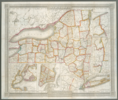
… of the
state
of New York
note:
… in the
state
-- City of New
m
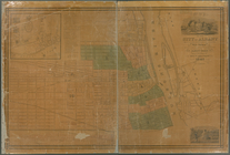
Map of New York exhibiting th…
note:
… to Early Maps of the
Middle
Atlantic
Seaboard.
A Map of the country round Ph…
note:
… to Early Maps of the
Middle
Atlantic
Seaboard.
m
Map of the route of the propo…
note:
Shows New York
state
from Westchester
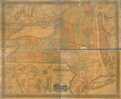
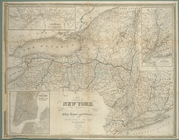
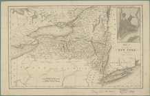
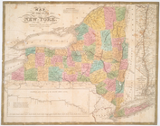
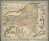
Map of the
state
of New York : showing
note:
… the New York
State
line
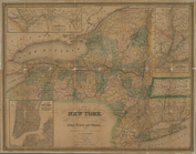
Map of the
state
of New York : showing
note:
… York
state
line
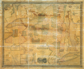
Map of the
state
of New York : showing
note:
… the New York
State
line
Map of the
state
of New York : with parts
note:
… to Early Maps of the
Middle
Atlantic
Seaboard.
Map of the
state
of New York with part
note:
… to Early Maps of the
Middle
Atlantic
Seaboard.
Map of the
state
of New York
note:
… to Early Maps of the
Middle
Atlantic
Seaboard.
m
Map of the
state
of New-York : with parts
note:
… to Early Maps of the
Middle
Atlantic
Seaboard.
m
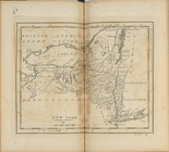
A new and exact map of the do…
note:
… to Early Maps of the
Middle
Atlantic
Seaboard.
New-York
note:
From the author's Atlas of the
state
New York
note:
… to Early Maps of the
Middle
Atlantic
Seaboard.
New-York
note:
… to Early Maps of the
Middle
Atlantic
Seaboard.
The Empire
State
, New York : with its
note:
Ill.: [
State
seal in cartouche] -- Evacuation
A map of New England, New Yor…
note:
… to Early Maps of the
Middle
Atlantic
Seaboard.
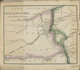
Falls of Niagara and adjacent…
note:
… to Early Maps of the
Middle
Atlantic
Seaboard.
… independent
states
of North
note:
… of the
Middle
British Colonies
The country twenty five miles…
note:
… to Early Maps of the
Middle
Atlantic
Seaboard.
[A chart of New York Island &…
note:
2nd
state
according to LC Maps of North
A chart of New York Island & …
note:
… to Early Maps of the
Middle
Atlantic
Seaboard.
A draught of New York from th…
note:
…. This
state
appears in eds
A map of the eastern part of …
note:
… to Early Maps of the
Middle
Atlantic
Seaboard.
A map of the eastern part of …
note:
… to Early Maps of the
Middle
Atlantic
Seaboard.
Map and profile of the Champl…
note:
… to Early Maps of the
Middle
Atlantic
Seaboard.
Map of the counties of Dutche…
note:
… to Early Maps of the
Middle
Atlantic
Seaboard.
Map of part of New York
State
between
note:
… to Early Maps of the
Middle
Atlantic
Seaboard.
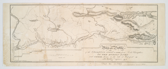
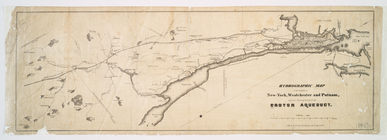
Hydrographic map of the count…
note:
… to Early Maps of the
Middle
Atlantic
Seaboard.
Map of Hudson's River, with t…
note:
… to Early Maps of the
Middle
Atlantic
Seaboard.
m
An improved map of the Hudson…
note:
… to Early Maps of the
Middle
Atlantic
Seaboard.
m
Hudson River & vicinity
note:
… to Early Maps of the
Middle
Atlantic
Seaboard.
Map of the Hudson River from …
note:
… to Early Maps of the
Middle
Atlantic
Seaboard.
m
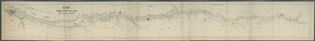
Map of the Hudson River Rail …
note:
… to Early Maps of the
Middle
Atlantic
Seaboard.
m
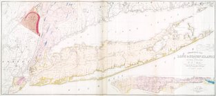
Geological map of Long & Stat…
note:
… to Early Maps of the
Middle
Atlantic
Seaboard.
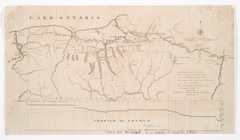
Long Island Sound from New Yo…
note:
… of the
state
of N. York."…
m
Map of Long Island with the e…
note:
… to Early Maps of the
Middle
Atlantic
Seaboard.
m
Map of Long Island with the e…
note:
… to Early Maps of the
Middle
Atlantic
Seaboard.
m
Map of Dutchess County, New-Y…
note:
… to Early Maps of the
Middle
Atlantic
Seaboard.
Map of the county of Sullivan
note:
… to Early Maps of the
Middle
Atlantic
Seaboard.
Map of the county of Westches…
note:
… H. Burr of the
State
Albany
note:
… to Early Maps of the
Middle
Atlantic
Seaboard.
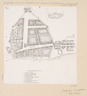
The Fort of Albany
note:
… to Early Maps of the
Middle
Atlantic
Seaboard.
m
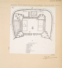
Map of the city of Albany
note:
… to Early Maps of the
Middle
Atlantic
Seaboard.
Map of the city of Albany
note:
… to Early Maps of the
Middle
Atlantic
Seaboard.
m
Map of the city of Albany
note:
… to Early Maps of the
Middle
Atlantic
Seaboard.
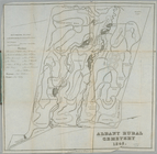
Albany Rural Cemetery
note:
… to Early Maps of the
Middle
Atlantic
Seaboard.
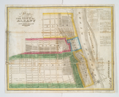
Map of lots in the 5th ward o…
note:
… to Early Maps of the
Middle
Atlantic
Seaboard.
Map of the village of Hermann…
note:
… to Early Maps of the
Middle
Atlantic
Seaboard.
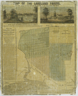
Map of the Lakeland farms, ne…
note:
… to Early Maps of the
Middle
Atlantic
Seaboard.