Click to visit the main New York Public Library Homepage
The New York Public Library
Digital Collections
About Digital Collections
Browse
Search only public domain materials
Items
Collections
Divisions
Home
Search
Browse
About
Search only public domain materials
Items
Collections
Divisions
Digital Collections
Using Images
Using Data
Collections
Charting America: Maps from the Lawrence H. Slaughter Collection and Others
Charting America: Maps from the Lawrence H. Slaughter Collection and Others
Navigation
Filters
Charting America: Maps from the Lawrence H. Slaughter Collection and Others
Previous
The south part of Virginia, now the north part of Carolina
0
Atlases, gazetteers, guidebooks and other books
377
Maps of the World
16
Maps of the Oceans
24
Maps of North and South America
23
Maps of North America.
551
Maps of New York City and State
1340
Lawrence H. Slaughter Collection of English maps, charts, globes, books and atlases
1020
John H. Levine Collection
60
More
Show filters
Hide filters
Show Only Public Domain
topic
Nautical charts
8
Atlases, British
4
Coasts
3
West Indies, British
3
Description and travel
2
More
Less
name
Godbid, Anne
2
Goos, Pieter, approximately 1616-1675
2
Jansson, Jan, 1588-1664
2
Jefferys, Thomas, -1771
2
Lotter, Georg Friedrich
2
More
Less
collection
Lawrence H. Slaughter Collection of English maps, charts, globes, books and atlases
11
Atlases, gazetteers, guidebooks and other books
8
place
x
West Indies
Caribbean Area
6
Atlantic Ocean
4
Atlantic Coast (North America)
3
Atlantic Ocean -- Maps -- Early works to 1800
3
More
Less
genre
Maps
18
Frontispieces
1
Illustrations
1
Prints
1
publisher
... Mathew Albert and George Frederick Lotter
2
Apud Haeredes J. Janssonii
2
P. Goos
2
Printed by A. Godbid and J. Playford, for John Seller ...,
2
R. Sayer and J. Bennett
2
More
Less
division
Map Division
19
type
cartographic
18
still image
1
Date Range
to
19 results found for:
x
West Indies
Filtering on:
x
Place
: West Indies
Sort by:
Relevance
Title
Date created
Date digitized
Sequence
… chart for the
West
Indies
of E. Wright
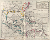
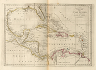
A map of the
West
-
Indies
&c
topic:
West
Indies
, British
m
A chart of the
West
Indias from Cap Cod to ye
topic:
West
Indies
, British
m
A chart of the
West
Indias from Cap Cod to ye
topic:
West
Indies
, British
The Western Ilands
note:
Covers the
West
Indies
, Caribbean area
A Generall chart for the
West
Indies
: according
… chart for the
West
Indies
, of E. Wrights
… chart for the
West
Indies
of E. Wright
Pas kaart van
West
Indien : behelsende soo
… with the
West
India Islands
… with the
West
India Islands
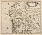
Dioecesis Trundhemiensis pars…
Episcopatus Bergensis
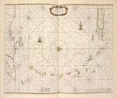
Pascaert van de Caribes Eylan…
Pascaerte van't Eylant St. Ju…
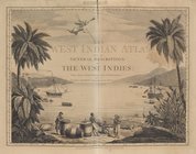
The
West
-India atlas...
note:
… of the
West
Indies
.
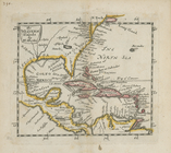
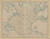
The Atlantic or Western Ocean
note:
… of the
West
Indies
.
A chart of the
West
Indies
, from the latest
m
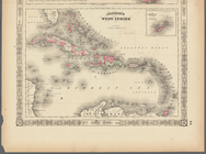
Johnson's
West
Indies
End of results
|
Top