Click to visit the main New York Public Library Homepage
The New York Public Library
Digital Collections
About Digital Collections
Browse
Search only public domain materials
Items
Collections
Divisions
Home
Search
Browse
About
Search only public domain materials
Items
Collections
Divisions
Digital Collections
Using Images
Using Data
Collections
Charting America: Maps from the Lawrence H. Slaughter Collection and Others
Charting America: Maps from the Lawrence H. Slaughter Collection and Others
Navigation
Filters
Charting America: Maps from the Lawrence H. Slaughter Collection and Others
Previous
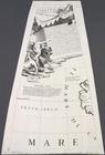
The south part of Virginia, now the north part of Carolina
0
Atlases, gazetteers, guidebooks and other books
377
Maps of the World
16
Maps of the Oceans
24
Maps of North and South America
23
Maps of North America.
551
Maps of New York City and State
1340
Lawrence H. Slaughter Collection of English maps, charts, globes, books and atlases
1020
John H. Levine Collection
60
More
Show filters
Hide filters
Show Only Public Domain
topic
Geography
262
Nautical charts
82
Administrative and political divisions
58
Mathematics
57
Astronomy, 1681
55
More
Less
name
Ortelius, Abraham, 1527-1598
130
Coignet, Michel, 1549-1623
126
Shawe, James
126
Moll, Herman, -1732
95
Flamsteed, John, 1646-1719
55
More
Less
collection
Lawrence H. Slaughter Collection of English maps, charts, globes, books and atlases
749
Maps of New York City and State
263
John H. Levine Collection
47
Maps of the Oceans
17
Maps of North and South America
15
More
Less
place
New York (N.Y.)
161
New York (State)
144
United States
139
Maps
105
North America
96
More
Less
genre
Maps
1097
Early maps
11
Facsimiles
11
Title pages
7
Early works to 1800
6
More
Less
publisher
Printed for Ieames Shawe, and are to be solde at his shoppe nigh Ludgate,
126
Printed by A. Godbid and J. Playford, for R. Scott, bookseller
55
Printed for Timothy Childe at the White Hart at the West-end of St. Paul's Church-yard
47
s.n
36
... Sold ... by Tho. Bowles, print and map-seller in St. Paul's-Churchyard
32
More
Less
division
Map Division
1109
type
cartographic
1079
text
31
still image
18
Date Range
to
1,111 results found for:
Early maps
Sort by:
Relevance
Title
Date created
Date digitized
Sequence
Results 751 - 800
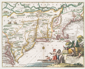
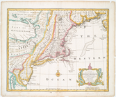
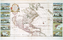
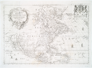
Novi Belgii, quod nunc Novi J…
note:
… to
Early
Maps
of the Middle
A new
map
of New England and New York
note:
… to
Early
Maps
of the Middle
A new and accurate
map
of New Jersey
note:
… to
Early
Maps
of the Middle
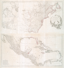
The coast of Nova Scotia, New…
note:
… to
Early
Maps
of the Middle
The coast of Nova Scotia, New…
note:
… to
Early
Maps
of the Middle
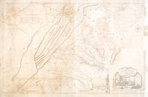
A
map
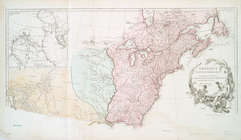
of the most inhabited part of Virginia
note:
… to
Early
Maps
of the Middle
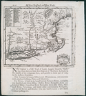
An exact mapp of New England …
note:
… to
Early
Maps
of the Middle
A New and correct
map
of the British
note:
… to
Early
Maps
of the Middle
New
map
of the states of Georgia South
note:
… to
Early
Maps
of the Middle
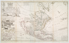
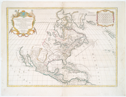
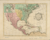
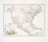
A new and correct
map
of North America
note:
… to
Early
Maps
of the Middle
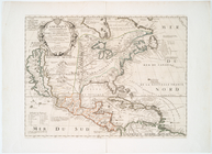
Le Canada, ou Nouvelle France…
note:
… to
Early
Maps
of the Middle
A new and correct
map
of North America
note:
… to
Early
Maps
of the Middle
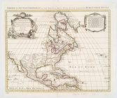
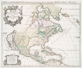
L'Amerique septentrionale : d…
note:
… to
Early
Maps
of the Middle
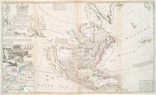
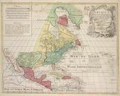
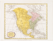
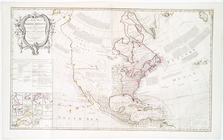
A general
map
of North America : drawn
note:
… to
Early
Maps
of the Middle
Repraesentatio Americae Borea…
note:
… to
Early
Maps
of the Middle
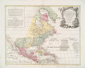
A new
map
of the north parts of America
note:
… to
Early
Maps
of the Middle
A new & correct
map
of the trading part of the West
note:
… to
Early
Maps
of the Middle
L'Amerique septentrionale, ou…
note:
… to
Early
Maps
of the Middle
This
map
of North America according to ye
note:
… to
Early
Maps
of the Middle
This
map
of North America according to ye
note:
… to
Early
Maps
of the Middle
m
Segments of 4 half globe gore…
note:
… to
Early
Maps
of the Middle
Amerique septentrionale divis…
note:
… to
Early
Maps
of the Middle
Amerique septentrionale : div…
note:
… to
Early
Maps
of the Middle
America Septentrionalis conci…
note:
… to
Early
Maps
of the Middle
America Septentrionalis conci…
note:
… to
Early
Maps
of the Middle
A new and accurate
map
of North America
note:
… to
Early
Maps
of the Middle
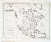
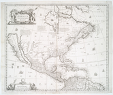
North America from the best a…
note:
… to
Early
Maps
of the Middle
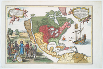
America Septentrionalis.
note:
… to
Early
Maps
of the Middle
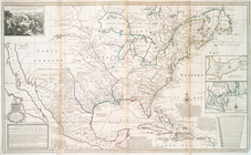
America septentrionalis.
note:
… to
Early
Maps
of the Middle
A new mapp of America Septent…
note:
… to
Early
Maps
of the Middle
L'Amérique septentrionale
note:
… to
Early
Maps
of the Middle
Amérique Septentrionale publi…
note:
… to
Early
Maps
of the Middle
m
Amérique Septentrionale publi…
note:
… to
Early
Maps
of the Middle
A new
map
of North America
note:
… to
Early
Maps
of the Middle
Amerique septentrionale.
note:
… to
Early
Maps
of the Middle
L'Amerique Septentrionale : d…
note:
… to
Early
Maps
of the Middle
Nova Virginiae tabvla.
note:
… to
Early
Maps
of the Middle
Carte de l'Amérique septentri…
note:
… to
Early
Maps
of the Middle
Americae nova descriptio
note:
… to
Early
Maps
of the Middle
A
map
of America
note:
… to
Early
Maps
of the Middle
Americae sive novi orbis, nov…
note:
… to
Early
Maps
of the Middle
Ocean Atlantique, ou, Mer du …
note:
… to
Early
Maps
of the Middle
Hemisphere occidental dresse …
note:
… to
Early
Maps
of the Middle
Americae descriptio nova
note:
… to
Early
Maps
of the Middle
Americae descriptio nova
note:
… to
Early
Maps
of the Middle
America
note:
… to
Early
Maps
of the Middle
Carte d'Amerique : diviseé en…
note:
… to
Early
Maps
of the Middle
America noviter delineata
note:
… to
Early
Maps
of the Middle
A new and most exact
map
of America
note:
… to
Early
Maps
of the Middle
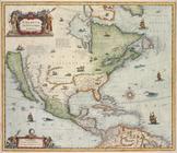
A new mapp of America: devid…
note:
… to
Early
Maps
of the Middle
1
2
3
4
5
Previous
Next
1
2
3
4
5
Previous
Next