

- The Library Shop
- Privacy Policy
- Rules and Regulations
- Using the Internet
- Website Terms and Conditions
- Gifts of Materials to NYPL
-
© The New York Public Library, 2024
The New York Public Library is a 501(c)(3) | EIN 13-1887440
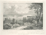
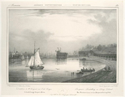
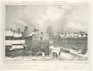
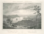
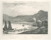
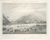
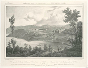
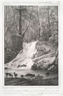
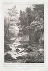
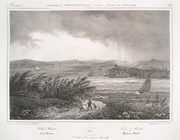
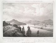
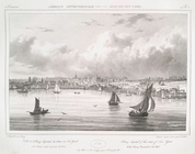
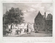
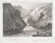
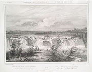
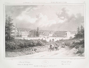
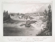
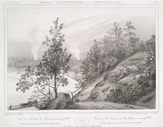
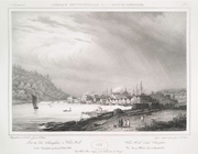
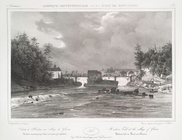
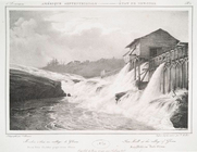
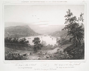
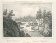
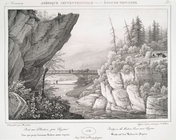
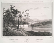
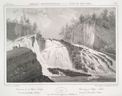
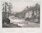
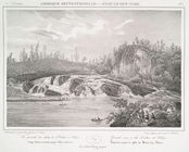
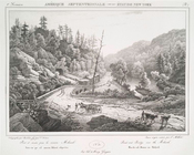
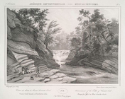
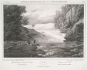
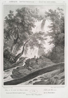
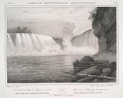
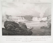
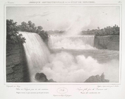
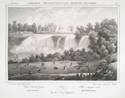
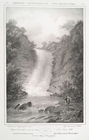
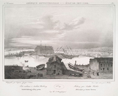
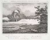
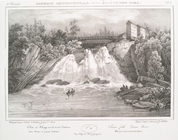
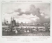
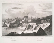
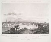
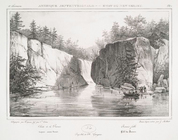
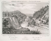
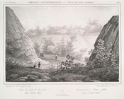
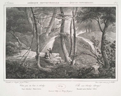
The major source for the images in this digital presentation-the Phelps Stokes Collection of American historical prints and early views of American cities-came to the Library in 1930 as a gift of the architect and historian Isaac Newton Phelps Stokes (1867-1944). It includes more than 800 prints, drawings, and maps produced over a period of four centuries, from the earliest European discoveries of the West Indian islands through the 19th century. The selection also includes some 30 images from the assemblage of New York City views donated to the Library in 1922 by Amos F. Eno (1836-1915) and a few items from the collection of American historical prints accumulated by Dr. Thomas Addis Emmet (1828-1919) and presented to the Library in 1896. Lastly, a few other items not found in these collections also appear, such as an 1814 view of New Archangel, Alaska from the Rare Book Division, and the Hudson River Portfolio of 1820 views, from the Spencer Collection.
The images in this collection, comprising an incomparable visual narrative of the development of the Americas and especially the territory that became the United States, offer a rich visual resource for the student of American history, architecture, urban growth, costume, transportation, and much else. The documentation of the rise of New York City is particularly strong.
The Print Collection of the Miriam and Ira D. Wallach Division of Art, Prints, and Photographs holds the works from The Phelps Stokes Collection, the Eno Collection of New York City Views and the Emmet Collection. The basis for the selection of images in this presentation, Gloria Gilda Deák's 1988 monograph, Picturing America, is an extensive catalog of the holdings of American historical prints in the Print Collection and other divisions of the Library, with essays and notes not included in this digital version.
Deák, Gloria Gilda. Picturing America, 1497-1899: Prints, Maps, and Drawings Bearing on the New World Discoveries and on the Development of the Territory That Is Now the United States. (1988)
Stokes, I. N. Phelps and Daniel C. Haskell. American Historical Prints: Early View of American Cities, etc., from the Phelps Stokes and Other Collections. (1933)