Plan of the cities of London and Westminster: the Borough of Southwark, and parts adjoining, shewing every house

Collection Data

Names
Horwood, Richard (Cartographer)
Dates / Origin
Date Issued: 1799
Place: London
Library locations
Carl H. Pforzheimer Collection of Shelley and His Circle
Shelf locator: Pforz+ (FLAT. Shelf D)
Topics
London (England)
Fire risk assessment -- England -- London
Genres
Maps
Notes
Content: Title from map 29.
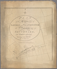
Additional physical form: Dedication on map 28 "To the Trustees and Directors of the Phoenix Fire-Office."
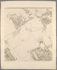
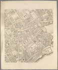
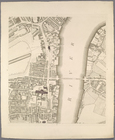
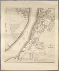
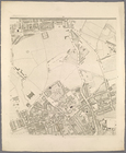
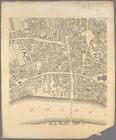
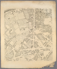
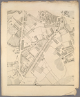
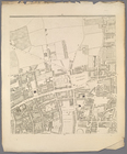
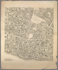
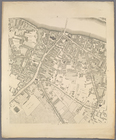
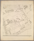
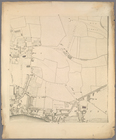
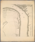
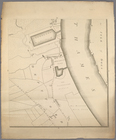
Date: Maps dated from 1792 to 1799.
Content: Scale of maps ca. 1:2,440.
Content: The three prelim. pages consist of a "List of subscribers to Horwood's Plan of London," and an "Index to the squares, streets, &c." Two copies held; lacking the prelim. pages to both copies.
Physical Description
Extent: Portfolios ([3] p., 32 maps) 65 cm.
Engravings
Type of Resource
Cartographic
Identifiers
NYPL catalog ID (B-number): b19081275
Library of Congress Control Number: 72185751
Universal Unique Identifier (UUID): 4d1d04e0-c6c9-012f-e391-3c075448cc4b
Show filters Hide filters
collection
x Plan of the cities of London and Westminster: the Borough of Southwark, and parts adjoining, shewing every house
genre
Date Range
to
32 results found