


- The Library Shop
- Privacy Policy
- Rules and Regulations
- Using the Internet
- Website Terms and Conditions
- Gifts of Materials to NYPL
-
© The New York Public Library, 2024
The New York Public Library is a 501(c)(3) | EIN 13-1887440
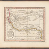
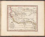
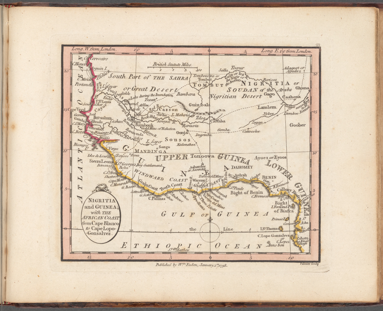
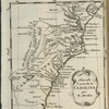
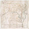
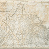
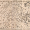
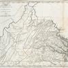
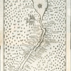
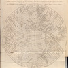
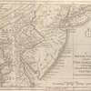
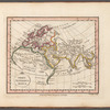
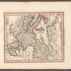
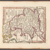
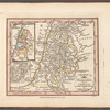
Lawrence H. Slaughter Collection of English maps, charts, globes, books and atlases
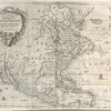
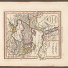
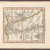
Lionel Pincus and Princess Firyal Map Division, The New York Public Library. "Nigritia and Guinea; with the African Coast from Cape Blanco to Cape Lopo-Gonsalvez" The New York Public Library Digital Collections. 1798 - 1804. https://digitalcollections.nypl.org/items/1f8619e0-ab0c-0137-a02d-37aec27b79ae
Lionel Pincus and Princess Firyal Map Division, The New York Public Library. "Nigritia and Guinea; with the African Coast from Cape Blanco to Cape Lopo-Gonsalvez" New York Public Library Digital Collections. Accessed April 23, 2024. https://digitalcollections.nypl.org/items/1f8619e0-ab0c-0137-a02d-37aec27b79ae
Lionel Pincus and Princess Firyal Map Division, The New York Public Library. (1798 - 1804). Nigritia and Guinea; with the African Coast from Cape Blanco to Cape Lopo-Gonsalvez Retrieved from https://digitalcollections.nypl.org/items/1f8619e0-ab0c-0137-a02d-37aec27b79ae
<ref name=NYPL>{{cite web | url=https://digitalcollections.nypl.org/items/1f8619e0-ab0c-0137-a02d-37aec27b79ae | title=
(cartographic)
Nigritia and Guinea; with the African Coast from Cape Blanco to Cape Lopo-Gonsalvez, (1798 - 1804)|author=Digital Collections, The New York Public Library |accessdate=April 23, 2024 |publisher=The New York Public Library, Astor, Lenox, and Tilden Foundations}}</ref>