


- The Library Shop
- Privacy Policy
- Rules and Regulations
- Using the Internet
- Website Terms and Conditions
- Gifts of Materials to NYPL
-
© The New York Public Library, 2024
The New York Public Library is a 501(c)(3) | EIN 13-1887440
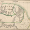
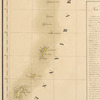
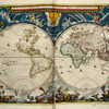
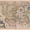
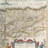
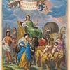
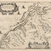
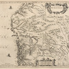
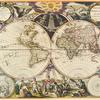
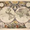
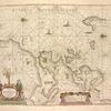
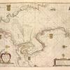
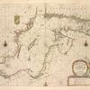
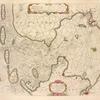
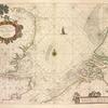
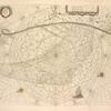
Lionel Pincus and Princess Firyal Map Division, The New York Public Library. "Atlas universel de géographie physique, politique, statistique et minéralogique sur léchelle de 1/1641836 ou d'une ligne par 1900 toises. Dressé par Ph. Vandermaelen ... Lithographié par H. Ode ..." The New York Public Library Digital Collections. 1827. https://digitalcollections.nypl.org/items/3ba16410-c603-012f-4ce5-58d385a7bc34
Lionel Pincus and Princess Firyal Map Division, The New York Public Library. "Atlas universel de géographie physique, politique, statistique et minéralogique sur léchelle de 1/1641836 ou d'une ligne par 1900 toises. Dressé par Ph. Vandermaelen ... Lithographié par H. Ode ..." New York Public Library Digital Collections. Accessed April 20, 2024. https://digitalcollections.nypl.org/items/3ba16410-c603-012f-4ce5-58d385a7bc34
Lionel Pincus and Princess Firyal Map Division, The New York Public Library. (1827). Atlas universel de géographie physique, politique, statistique et minéralogique sur léchelle de 1/1641836 ou d'une ligne par 1900 toises. Dressé par Ph. Vandermaelen ... Lithographié par H. Ode ... Retrieved from https://digitalcollections.nypl.org/items/3ba16410-c603-012f-4ce5-58d385a7bc34
<ref name=NYPL>{{cite web | url=https://digitalcollections.nypl.org/items/3ba16410-c603-012f-4ce5-58d385a7bc34 | title=

Atlas universel de géographie physique, politique, statistique et minéralogique sur léchelle de 1/1641836 ou d'une ligne par 1900 toises. Dressé par Ph. Vandermaelen ... Lithographié par H. Ode ..., (1827)
|author=Digital Collections, The New York Public Library |accessdate=April 20, 2024 |publisher=The New York Public Library, Astor, Lenox, and Tilden Foundations}}</ref>
