


- The Library Shop
- Privacy Policy
- Rules and Regulations
- Using the Internet
- Website Terms and Conditions
- Gifts of Materials to NYPL
-
© The New York Public Library, 2024
The New York Public Library is a 501(c)(3) | EIN 13-1887440
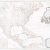
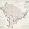
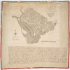
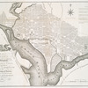
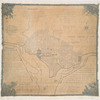
Lawrence H. Slaughter Collection of English maps, charts, globes, books and atlases
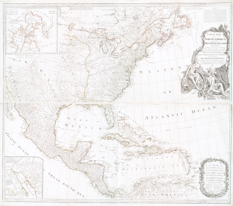
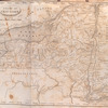
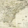
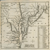
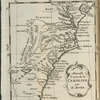
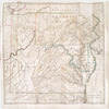
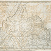
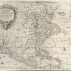
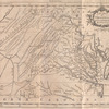
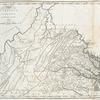
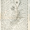
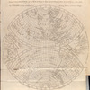
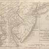
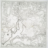
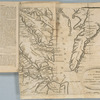
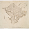
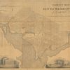
Lionel Pincus and Princess Firyal Map Division, The New York Public Library. "A new map of North America with the West India Islands : divided according to the preliminary articles of peace, signed at Versailles, 20, Jan. 1783 ; wherein are particularly distinguished the United States and the several provinces, governments & ca. which compose the British dominions" The New York Public Library Digital Collections. 1783-08-15. https://digitalcollections.nypl.org/items/510d47db-afd4-a3d9-e040-e00a18064a99
Lionel Pincus and Princess Firyal Map Division, The New York Public Library. "A new map of North America with the West India Islands : divided according to the preliminary articles of peace, signed at Versailles, 20, Jan. 1783 ; wherein are particularly distinguished the United States and the several provinces, governments & ca. which compose the British dominions" New York Public Library Digital Collections. Accessed April 17, 2024. https://digitalcollections.nypl.org/items/510d47db-afd4-a3d9-e040-e00a18064a99
Lionel Pincus and Princess Firyal Map Division, The New York Public Library. (1783-08-15). A new map of North America with the West India Islands : divided according to the preliminary articles of peace, signed at Versailles, 20, Jan. 1783 ; wherein are particularly distinguished the United States and the several provinces, governments & ca. which compose the British dominions Retrieved from https://digitalcollections.nypl.org/items/510d47db-afd4-a3d9-e040-e00a18064a99
<ref name=NYPL>{{cite web | url=https://digitalcollections.nypl.org/items/510d47db-afd4-a3d9-e040-e00a18064a99 | title=
(cartographic)
A new map of North America with the West India Islands : divided according to the preliminary articles of peace, signed at Versailles, 20, Jan. 1783 ; wherein are particularly distinguished the United States and the several provinces, governments & ca. which compose the British dominions, (1783-08-15)
|author=Digital Collections, The New York Public Library |accessdate=April 17, 2024 |publisher=The New York Public Library, Astor, Lenox, and Tilden Foundations}}</ref>