


- The Library Shop
- Privacy Policy
- Rules and Regulations
- Using the Internet
- Website Terms and Conditions
- Gifts of Materials to NYPL
-
© The New York Public Library, 2024
The New York Public Library is a 501(c)(3) | EIN 13-1887440
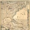
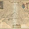
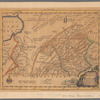
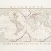
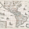
Lionel Pincus and Princess Firyal Map Division, The New York Public Library. "Carte generale du monde, ou, Description du monde terrestre & aquatique = Generale waereld kaart, of, Beschryving van de land en water aereld" The New York Public Library Digital Collections. 1700. https://digitalcollections.nypl.org/items/510d47db-aff3-a3d9-e040-e00a18064a99
Lionel Pincus and Princess Firyal Map Division, The New York Public Library. "Carte generale du monde, ou, Description du monde terrestre & aquatique = Generale waereld kaart, of, Beschryving van de land en water aereld" New York Public Library Digital Collections. Accessed April 25, 2024. https://digitalcollections.nypl.org/items/510d47db-aff3-a3d9-e040-e00a18064a99
Lionel Pincus and Princess Firyal Map Division, The New York Public Library. (1700). Carte generale du monde, ou, Description du monde terrestre & aquatique = Generale waereld kaart, of, Beschryving van de land en water aereld Retrieved from https://digitalcollections.nypl.org/items/510d47db-aff3-a3d9-e040-e00a18064a99
<ref name=NYPL>{{cite web | url=https://digitalcollections.nypl.org/items/510d47db-aff3-a3d9-e040-e00a18064a99 | title=
(cartographic)
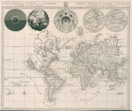
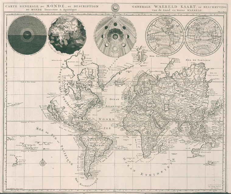
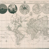
Carte generale du monde, ou, Description du monde terrestre & aquatique = Generale waereld kaart, of, Beschryving van de land en water aereld, (1700)
|author=Digital Collections, The New York Public Library |accessdate=April 25, 2024 |publisher=The New York Public Library, Astor, Lenox, and Tilden Foundations}}</ref>