


![New reservoir. [Order creating commission to obtain land for the reservoir.]](https://images.nypl.org/index.php?id=1648986&t=b)


- The Library Shop
- Privacy Policy
- Rules and Regulations
- Using the Internet
- Website Terms and Conditions
- Gifts of Materials to NYPL
-
© The New York Public Library, 2024
The New York Public Library is a 501(c)(3) | EIN 13-1887440
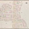
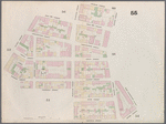
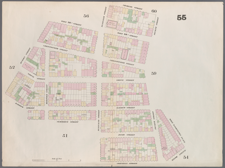
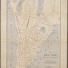
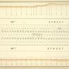
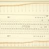
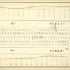
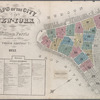
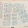
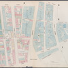
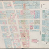
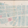
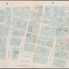
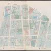
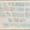
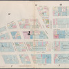
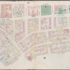
The New York Public Library. "Map bounded by Charles Street, 4th Street, West Washington Place, Sixth Avenue, Cornelia Street, Bleeker Street, Commerce Street, Hudson Street, West 10th Street, Bleeker Street" The New York Public Library Digital Collections. 1857 - 1862. https://digitalcollections.nypl.org/items/510d47e0-bf6c-a3d9-e040-e00a18064a99
The New York Public Library. "Map bounded by Charles Street, 4th Street, West Washington Place, Sixth Avenue, Cornelia Street, Bleeker Street, Commerce Street, Hudson Street, West 10th Street, Bleeker Street" New York Public Library Digital Collections. Accessed April 26, 2024. https://digitalcollections.nypl.org/items/510d47e0-bf6c-a3d9-e040-e00a18064a99
The New York Public Library. (1857 - 1862). Map bounded by Charles Street, 4th Street, West Washington Place, Sixth Avenue, Cornelia Street, Bleeker Street, Commerce Street, Hudson Street, West 10th Street, Bleeker Street Retrieved from https://digitalcollections.nypl.org/items/510d47e0-bf6c-a3d9-e040-e00a18064a99
<ref name=NYPL>{{cite web | url=https://digitalcollections.nypl.org/items/510d47e0-bf6c-a3d9-e040-e00a18064a99 | title=
(cartographic)
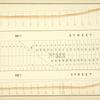
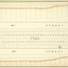
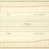
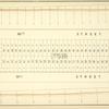
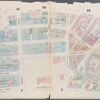
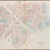
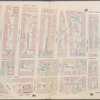
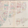
Map bounded by Charles Street, 4th Street, West Washington Place, Sixth Avenue, Cornelia Street, Bleeker Street, Commerce Street, Hudson Street, West 10th Street, Bleeker Street, (1857 - 1862)
|author=Digital Collections, The New York Public Library |accessdate=April 26, 2024 |publisher=The New York Public Library, Astor, Lenox, and Tilden Foundations}}</ref>