


- The Library Shop
- Privacy Policy
- Rules and Regulations
- Using the Internet
- Website Terms and Conditions
- Gifts of Materials to NYPL
-
© The New York Public Library, 2024
The New York Public Library is a 501(c)(3) | EIN 13-1887440
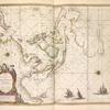
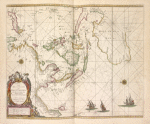
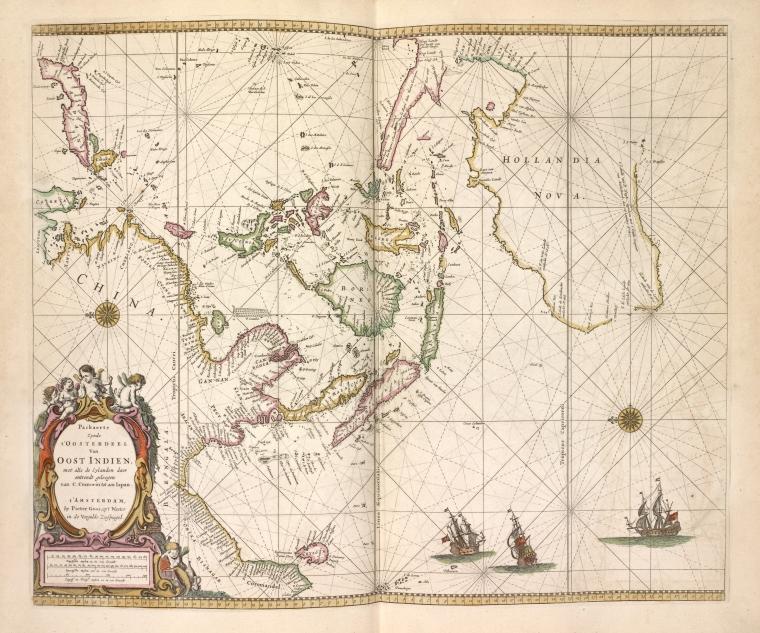
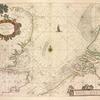
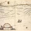
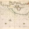
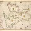
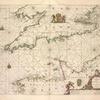
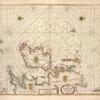
Lionel Pincus and Princess Firyal Map Division, The New York Public Library. "Paskaetrte zynde t'Oosterdeel van Oost Indien, met alle de Eylanden dae ontrendt gelegen van C. Comorin tot aen Japan." The New York Public Library Digital Collections. 1672. https://digitalcollections.nypl.org/items/510d47e4-100f-a3d9-e040-e00a18064a99
Lionel Pincus and Princess Firyal Map Division, The New York Public Library. "Paskaetrte zynde t'Oosterdeel van Oost Indien, met alle de Eylanden dae ontrendt gelegen van C. Comorin tot aen Japan." New York Public Library Digital Collections. Accessed April 17, 2024. https://digitalcollections.nypl.org/items/510d47e4-100f-a3d9-e040-e00a18064a99
Lionel Pincus and Princess Firyal Map Division, The New York Public Library. (1672). Paskaetrte zynde t'Oosterdeel van Oost Indien, met alle de Eylanden dae ontrendt gelegen van C. Comorin tot aen Japan. Retrieved from https://digitalcollections.nypl.org/items/510d47e4-100f-a3d9-e040-e00a18064a99
<ref name=NYPL>{{cite web | url=https://digitalcollections.nypl.org/items/510d47e4-100f-a3d9-e040-e00a18064a99 | title=
(cartographic)
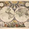
Paskaetrte zynde t'Oosterdeel van Oost Indien, met alle de Eylanden dae ontrendt gelegen van C. Comorin tot aen Japan., (1672)
|author=Digital Collections, The New York Public Library |accessdate=April 17, 2024 |publisher=The New York Public Library, Astor, Lenox, and Tilden Foundations}}</ref>