


- The Library Shop
- Privacy Policy
- Rules and Regulations
- Using the Internet
- Website Terms and Conditions
- Gifts of Materials to NYPL
-
© The New York Public Library, 2024
The New York Public Library is a 501(c)(3) | EIN 13-1887440
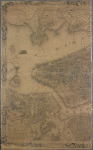
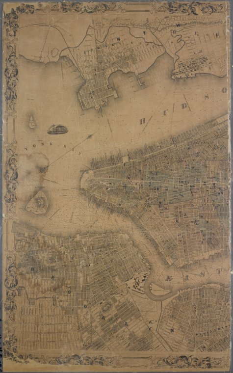
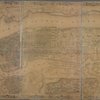
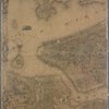
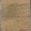
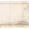
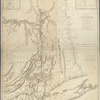
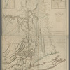
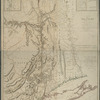
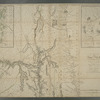
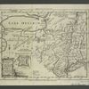
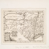
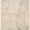
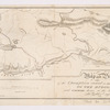
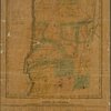
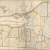
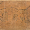
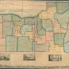
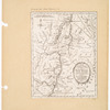
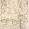
Lionel Pincus and Princess Firyal Map Division, The New York Public Library. "Topographical map of New York City, County and vicinity : showing old farm lines &c." The New York Public Library Digital Collections. 1854. https://digitalcollections.nypl.org/items/629640d6-dc3a-93ae-e040-e00a18063ead
Lionel Pincus and Princess Firyal Map Division, The New York Public Library. "Topographical map of New York City, County and vicinity : showing old farm lines &c." New York Public Library Digital Collections. Accessed April 23, 2024. https://digitalcollections.nypl.org/items/629640d6-dc3a-93ae-e040-e00a18063ead
Lionel Pincus and Princess Firyal Map Division, The New York Public Library. (1854). Topographical map of New York City, County and vicinity : showing old farm lines &c. Retrieved from https://digitalcollections.nypl.org/items/629640d6-dc3a-93ae-e040-e00a18063ead
<ref name=NYPL>{{cite web | url=https://digitalcollections.nypl.org/items/629640d6-dc3a-93ae-e040-e00a18063ead | title=
(cartographic)
Topographical map of New York City, County and vicinity : showing old farm lines &c., (1854)
|author=Digital Collections, The New York Public Library |accessdate=April 23, 2024 |publisher=The New York Public Library, Astor, Lenox, and Tilden Foundations}}</ref>