


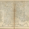
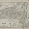

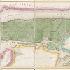

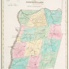
![Map of Lansingbugh, Rensselaer County, New York, Surveyed drawn and published by John Beven, City surveyor, New York, 1872. Including [Map bounded by Clinton St., Waterford St.]](https://images.nypl.org/index.php?id=3884155&t=b)
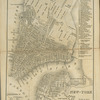
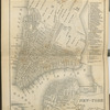
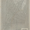
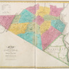
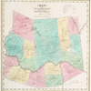
![Lansingburgh, [Map bounded by Canal St., Market St., State St.]](https://images.nypl.org/index.php?id=3884156&t=b)
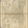
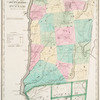
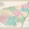
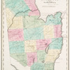
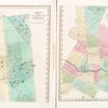
![Lansingburgh, [Map bounded by North St., Cemetery Ave., Diamond St.]](https://images.nypl.org/index.php?id=3884157&t=b)
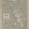
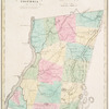
![Lansingburgh, [Map bounded by Diamond St., Cemetery Ave., Thomas St., Hudson River]](https://images.nypl.org/index.php?id=3884158&t=b)
![Lansingburgh, [Map bounded by Gould St., Cemetery Ave., Hudson River]](https://images.nypl.org/index.php?id=3884159&t=b)
- The Library Shop
- Privacy Policy
- Rules and Regulations
- Using the Internet
- Website Terms and Conditions
- Gifts of Materials to NYPL
-
© The New York Public Library, 2024
The New York Public Library is a 501(c)(3) | EIN 13-1887440
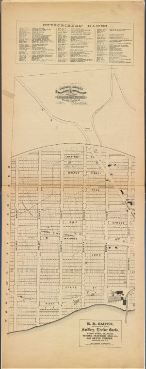
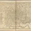
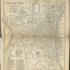
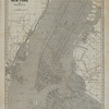
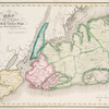
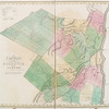
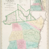
![Lansingburgh, [Map bounded by Hudson St., Chestnut St., Waterford St., Hudson River]](https://images.nypl.org/index.php?id=3884154&t=b)
Lionel Pincus and Princess Firyal Map Division, The New York Public Library. "Lansingburgh, [Map bounded by Hudson St., Chestnut St., Waterford St., Hudson River]" The New York Public Library Digital Collections. 1872. https://digitalcollections.nypl.org/items/a7cf3afc-9de6-1913-e040-e00a1806525a
Lionel Pincus and Princess Firyal Map Division, The New York Public Library. "Lansingburgh, [Map bounded by Hudson St., Chestnut St., Waterford St., Hudson River]" New York Public Library Digital Collections. Accessed April 25, 2024. https://digitalcollections.nypl.org/items/a7cf3afc-9de6-1913-e040-e00a1806525a
Lionel Pincus and Princess Firyal Map Division, The New York Public Library. (1872). Lansingburgh, [Map bounded by Hudson St., Chestnut St., Waterford St., Hudson River] Retrieved from https://digitalcollections.nypl.org/items/a7cf3afc-9de6-1913-e040-e00a1806525a
<ref name=NYPL>{{cite web | url=https://digitalcollections.nypl.org/items/a7cf3afc-9de6-1913-e040-e00a1806525a | title=
(cartographic)
Lansingburgh, [Map bounded by Hudson St., Chestnut St., Waterford St., Hudson River], (1872)
|author=Digital Collections, The New York Public Library |accessdate=April 25, 2024 |publisher=The New York Public Library, Astor, Lenox, and Tilden Foundations}}</ref>
![Lansingburgh, [Map bounded by Hudson St., Chestnut St., Waterford St., Hudson River]](https://images.nypl.org/index.php?id=3884154&t=t)