


- The Library Shop
- Privacy Policy
- Rules and Regulations
- Using the Internet
- Website Terms and Conditions
- Gifts of Materials to NYPL
-
© The New York Public Library, 2024
The New York Public Library is a 501(c)(3) | EIN 13-1887440
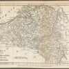
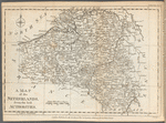
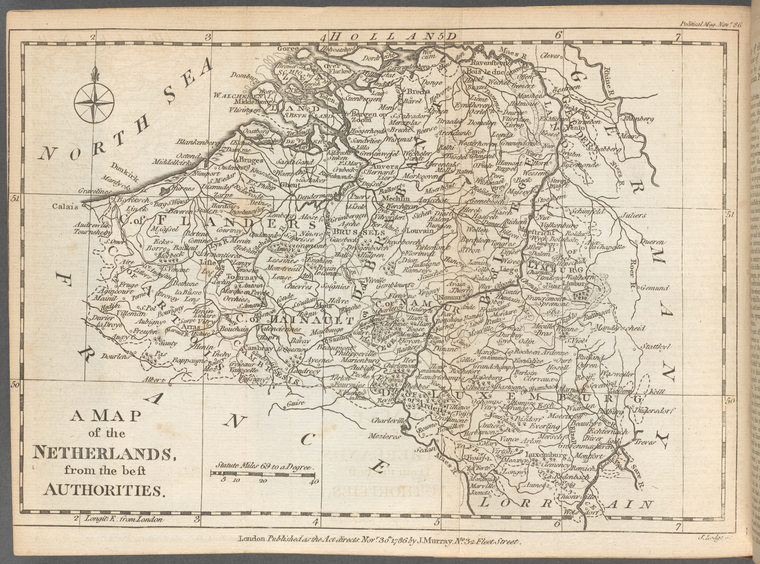
The Political magazine and parliamentary, naval, military, and literary journal
The Political magazine and parliamentary, naval, military, and literary journal, Vol. 11
General Research Division, The New York Public Library. "A Map of the Austrian, French and Dutch Netherlands" The New York Public Library Digital Collections. 1786-11. https://digitalcollections.nypl.org/items/a89075e0-88fc-0139-ce3b-0242ac110003
General Research Division, The New York Public Library. "A Map of the Austrian, French and Dutch Netherlands" New York Public Library Digital Collections. Accessed April 19, 2024. https://digitalcollections.nypl.org/items/a89075e0-88fc-0139-ce3b-0242ac110003
General Research Division, The New York Public Library. (1786-11). A Map of the Austrian, French and Dutch Netherlands Retrieved from https://digitalcollections.nypl.org/items/a89075e0-88fc-0139-ce3b-0242ac110003
<ref name=NYPL>{{cite web | url=https://digitalcollections.nypl.org/items/a89075e0-88fc-0139-ce3b-0242ac110003 | title=
(cartographic)
A Map of the Austrian, French and Dutch Netherlands, (1786-11)
|author=Digital Collections, The New York Public Library |accessdate=April 19, 2024 |publisher=The New York Public Library, Astor, Lenox, and Tilden Foundations}}</ref>