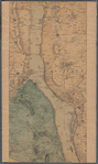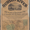
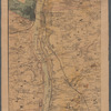
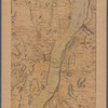
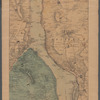
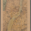
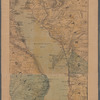
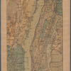


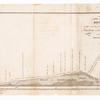
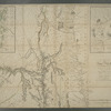
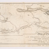

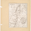
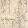
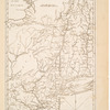
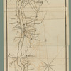
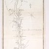


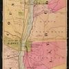


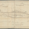
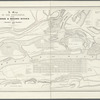
![[Map of the Hudson River] prepared for Taintor's guide books](https://images.nypl.org/index.php?id=5686965&t=b)
- The Library Shop
- Privacy Policy
- Rules and Regulations
- Using the Internet
- Website Terms and Conditions
- Gifts of Materials to NYPL
-
© The New York Public Library, 2024
The New York Public Library is a 501(c)(3) | EIN 13-1887440
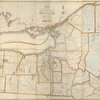
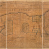
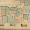
Lionel Pincus and Princess Firyal Map Division, The New York Public Library. "Lloyd's Topographical map of the Hudson River" The New York Public Library Digital Collections. 1864. https://digitalcollections.nypl.org/items/b2942c80-c6be-0133-9d60-00505686d14e
Lionel Pincus and Princess Firyal Map Division, The New York Public Library. "Lloyd's Topographical map of the Hudson River" New York Public Library Digital Collections. Accessed April 16, 2024. https://digitalcollections.nypl.org/items/b2942c80-c6be-0133-9d60-00505686d14e
Lionel Pincus and Princess Firyal Map Division, The New York Public Library. (1864). Lloyd's Topographical map of the Hudson River Retrieved from https://digitalcollections.nypl.org/items/b2942c80-c6be-0133-9d60-00505686d14e
<ref name=NYPL>{{cite web | url=https://digitalcollections.nypl.org/items/b2942c80-c6be-0133-9d60-00505686d14e | title=
(cartographic)
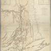
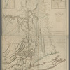
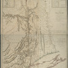
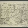
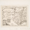
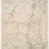
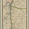
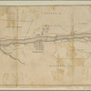
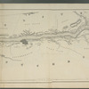
Lloyd's Topographical map of the Hudson River, (1864)
|author=Digital Collections, The New York Public Library |accessdate=April 16, 2024 |publisher=The New York Public Library, Astor, Lenox, and Tilden Foundations}}</ref>