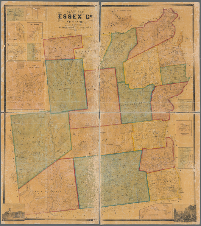
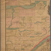
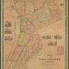
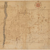
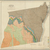
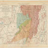
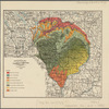
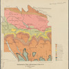
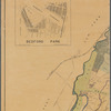
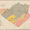
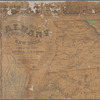
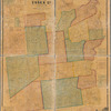
TitleMap of Essex Co., New York
NamesFrench, J. H. (John Homer), 1824-1888 (Creator)Smith, Robert Pearsall, 1827-1898 (Associated name)Shearer, William Otis (Publisher)Balch, E. A. (Publisher)
CollectionMaps of New York City and State
Counties
Dates / OriginDate Issued: 1858Place: PhiladelphiaPublisher: W.O. Shearer & E.A. Balch
Library locationsLionel Pincus and Princess Firyal Map DivisionShelf locator: Map Div. 16-5988
TopicsReal property -- New York (State) -- Essex CountyLandowners -- New York (State) -- Essex CountyLandowners -- New York (State) -- KeesevilleLandowners -- New York (State) -- WestportReal property -- New York (State) -- WestportLandowners -- New York (State) -- TiconderogaReal property -- New York (State) -- TiconderogaLandowners -- New York (State) -- Port HenryReal property -- New York (State) -- Port HenryReal property -- New York (State) -- Crown Point (N.Y.)Landowners -- New York (State) -- Crown Point (N.Y.)Landowners -- New York (State) -- Au Sable ForksReal property -- New York (State) -- Au Sable ForksEssex County (N.Y.)Essex County (N.Y.) -- Administrative and political divisionsKeeseville (N.Y.)Westport (N.Y.)Ticonderoga (N.Y.)Port Henry (N.Y.)Crown Point (N.Y.)Au Sable Forks (N.Y.)New York (State) -- Essex CountyNew York (State) -- Keeseville
GenresMapsCadastral maps
NotesStatement of responsibility: by J.H. French, superintendant of the New York state survey.Content: Cadastral map showing property owners, road, railroads and postal services.Content: Relief shown by hachures.Content: Includes 11 insets: Wadhams Mills -- Westport -- Port Henry -- Ticonderoga -- Essex -- Keesville, Clinton & Essex Co's -- Elizabeth town -- Moriah -- Ausable Forks, Essex County -- Plan of Schroon Lake Village, Essex County -- Crown Point ; 2 vignettes: Court house & clerks office of Essex county -- The Indian pass Adirondack Mtn.; and table of statistics.Statement of responsibility: "Entered according to Act of Congress in the year 1858 by Robert Pearsall Smith ... Eastern district of Pennsylvania."Funding: Mapping the Nation (NEH grant, 2015-2018)
Physical DescriptionExtent: 1 map : hand colored ; 141 x 125 cm, on sheet 147 x 130 cm
Type of ResourceCartographic
IdentifiersLibrary of Congress Control Number: 2009583836RLIN/OCLC: 497537915NYPL catalog ID (B-number): b20645815Other local Identifier: US165.1.01Universal Unique Identifier (UUID): ad3f69a0-e551-0133-c95c-00505686a51c
Rights StatementThe New York Public Library believes that this item is in the public domain under the laws of the United States, but did not make a determination as to its copyright status under the copyright laws of other countries. This item may not be in the public domain under the laws of other countries. Though not required, if you want to credit us as the source, please use the following statement, "From The New York Public Library," and provide a link back to the item on our Digital Collections site. Doing so helps us track how our collection is used and helps justify freely releasing even more content in the future.
Item timeline of events
-
-
-
-
-
-