


- The Library Shop
- Privacy Policy
- Rules and Regulations
- Using the Internet
- Website Terms and Conditions
- Gifts of Materials to NYPL
-
© The New York Public Library, 2024
The New York Public Library is a 501(c)(3) | EIN 13-1887440
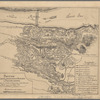
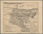
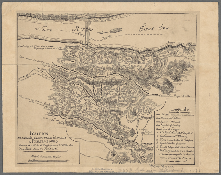
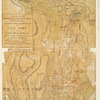
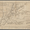
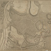
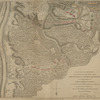
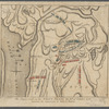
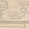
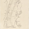
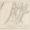
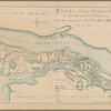
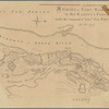
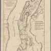
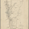
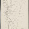
Lionel Pincus and Princess Firyal Map Division, The New York Public Library. "Position de l'armée Américaine et Française a Philips-Bourg" The New York Public Library Digital Collections. 1880. https://digitalcollections.nypl.org/items/ce59dcb0-deac-0135-eccc-6f7cb6988e10
Lionel Pincus and Princess Firyal Map Division, The New York Public Library. "Position de l'armée Américaine et Française a Philips-Bourg" New York Public Library Digital Collections. Accessed April 19, 2024. https://digitalcollections.nypl.org/items/ce59dcb0-deac-0135-eccc-6f7cb6988e10
Lionel Pincus and Princess Firyal Map Division, The New York Public Library. (1880). Position de l'armée Américaine et Française a Philips-Bourg Retrieved from https://digitalcollections.nypl.org/items/ce59dcb0-deac-0135-eccc-6f7cb6988e10
<ref name=NYPL>{{cite web | url=https://digitalcollections.nypl.org/items/ce59dcb0-deac-0135-eccc-6f7cb6988e10 | title=
(cartographic)
Position de l'armée Américaine et Française a Philips-Bourg, (1880)
|author=Digital Collections, The New York Public Library |accessdate=April 19, 2024 |publisher=The New York Public Library, Astor, Lenox, and Tilden Foundations}}</ref>