Click to visit the main New York Public Library Homepage
The New York Public Library
Digital Collections
About Digital Collections
Browse
Search only public domain materials
Items
Collections
Divisions
Home
Search
Browse
About
Search only public domain materials
Items
Collections
Divisions
Digital Collections
Using Images
Using Data
Search
Keyword search
Show filters
Hide filters
Show Only Public Domain
topic
World maps
3
Maps
2
Abolition movement
1
Abolitionists
1
African Americans
1
More
Less
name
Thornton, Samuel
182
Bernard, Mountague, 1820-1882
1
Iddesleigh, Stafford Henry Northcote, Earl of, 1818-1887
1
Macdonald, John Alexander, Sir, 1815-1891
1
Nottingham, Daniel Finch, Earl of, 1647-1730
1
More
Less
collection
Atlases, gazetteers, guidebooks and other books
182
Samuel Adams papers
2
Print Collection portrait file
1
Sidney Lapidus Slavery and Abolition Collection
1
Thomas Addis Emmet collection, [legacy collection]
1
More
Less
place
Atlantic Ocean
14
English Channel
14
Biscay, Bay of (France and Spain)
11
Mediterranean Sea
11
Brittany (France)
8
More
Less
genre
Maps
173
Nautical charts
173
pages (components)
9
Correspondence
3
Clippings
1
More
Less
publisher
Printed by Samuel Harrison Smith
1
division
Map Division
182
Manuscripts and Archives Division
3
Schomburg Manuscripts, Archives and Rare Books Division
1
Wallach Division: Picture Collection
1
Wallach Division: Print Collection
1
type
cartographic
174
text
12
still image
2
Date Range
to
188 results found for:
Thornton, Samuel
Sort by:
Relevance
Title
Date created
Date digitized
Sequence
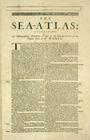
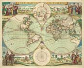
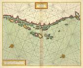
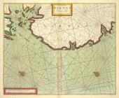
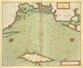
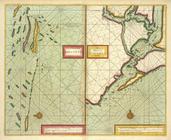
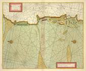
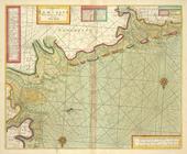
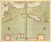
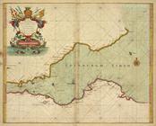
The Sea-Atlas.
The Sea-Atlas: Containing an …
The Sea-Atlas
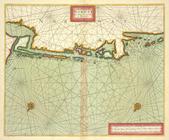
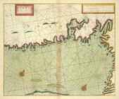
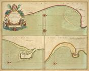
The Sea-Atlas, [page] 3
The Sea-Atlas, p. 4
The Sea-Atlas, p. 5
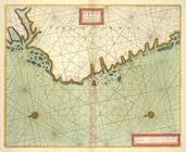
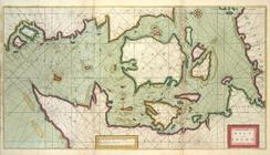
The Sea-Atlas, p. 6
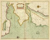
The Sea-Atlas.
The Sea-Atlas, p. 8
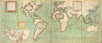
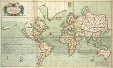
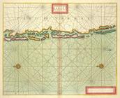
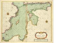
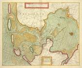
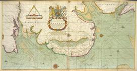
A new mapp of the world.
A new and correct Mapp of the…
m
No va & accuratissima totius …
A Generall chart of the NORTH…
A chart of the WHITE SEA with…
the Island of Keduyn; the Riv…
The Coast of NORWAY and Lap L…
The Chart of FINMARCK from Sa…
The Chart of FINMARCK from Dr…
A chart of NORWAY from High L…
The coast of NORWAY from Berg…
The chart of the Leeth of BER…
The coast of NORWAY; between …
The coast of NORWAY from Naze…
A chart of the BELT and SOUND
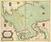
A chart of the EAST-SEA
The coast of DENMARCK and Swe…
A chart of PRUSSIA and Coerla…
A chart of LYF LAND and East …
The coast of LYF LAND and Eas…
A chart of coast SWEDEN from …
The channell of ABBO or UTTOY…
A chart of JUTLAND and the Is…
A chart of EEMS ELVE, Wefer, …
A chart of the Eems of Old We…
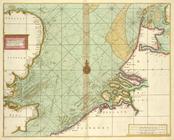
A chart of the SOUTH SEA Texe…
A description of the coast FL…
A chart of the Sea-Coast of Z…
A chart of the Seacoasts of E…
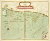
A chart of the NORTH SEA
A new and correct chart of th…
A new chart of the sea coast …
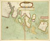
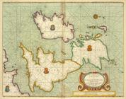
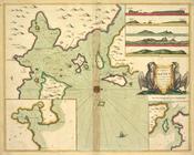
A large draught of the Isle o…
Part of the Maine Island of S…
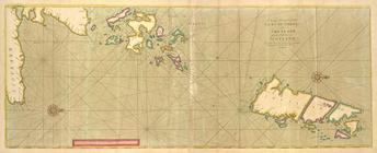
The cheife Harbours in the Is…
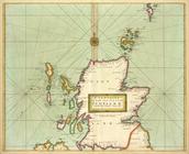
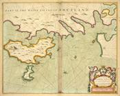
Moray Firth and Sutherland, S…
To the Right Hon.ble. JAMES E…
BURLINGTON BAY, Scarbrouth an…
A chart of the east coast of …
A chart of the sands, shoals,…
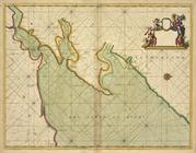
The River Humber