Click to visit the main New York Public Library Homepage
The New York Public Library
Digital Collections
About Digital Collections
Browse
Search only public domain materials
Items
Collections
Divisions
Home
Search
Browse
About
Search only public domain materials
Items
Collections
Divisions
Digital Collections
Using Images
Using Data
Search
Filtered search
Show filters
Hide filters
Show Only Public Domain
topic
Real property
2177
Maps
275
Administrative and political divisions
2
Landowners
1
Railroads
1
More
Less
name
x
G.W. Bromley & Co
Bromley, George Washington
785
Bromley, Walter Scott
784
Smith & Stroup (Firm)
1
Welcke, Robert A
1
collection
Atlases of New York City
2460
Atlases of the United States
89
Maps of New York City and State
1
Maps of North America
1
Reconstruction collection
1
place
New York (State)
2180
New York
1701
Manhattan (New York, N.Y.)
1672
New York (N.Y.)
723
Bronx (New York, N.Y.)
476
More
Less
genre
Maps
2475
Indexes
94
Atlases
89
Cadastral maps
52
Index maps
49
More
Less
publisher
G.W. Bromley & Co
2368
G. W. Bromley & E. Robinson
80
G. W. Bromley & Co
52
G.W. Bromley
49
Geo. W. Bromley & Co
1
More
Less
division
Map Division
2551
Schomburg Photographs and Prints Division
1
type
cartographic
2471
text
133
still image
5
Date Range
to
2,552 results found
Filtering on:
x
Name
: G.W. Bromley & Co.
Sort by:
Title
Date created
Date digitized
Sequence
Results 1251 - 1300
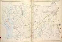
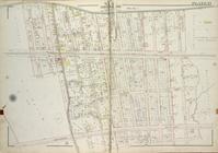
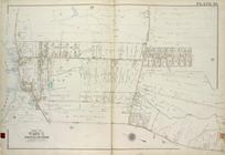
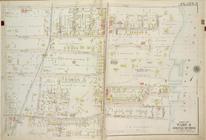
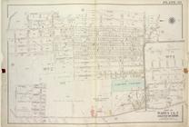
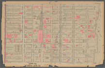
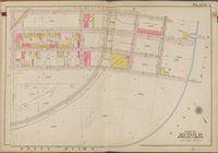
Plate 42, Part of Ward 3 [Map…
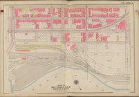
Plate 15, Part of Ward 4 [Map…
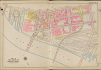
Plate 40, Part of Ward 5 [Map…
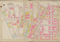
Plate 3, Part of Ward 4 [Map …
Plate 35, Part of Wards 1 & 2…
Plate 14, Part of Ward 4 [Map…
Plate 35, Part of Ward 5 [Map…
Plate 12, Part of Ward 4 [Map…
Plate 38, Part of Ward 3 [Map…
Plate 37, Part of Ward 3 [Map…
Plate 15, Part of Ward 1 [Map…
Plate 34, Part of Wards 2 & 3…
Plate 4, Part of Ward 4 [Map …
Plate 13, Part of Ward 1 [Map…
Plate 17, Part of Ward 4 [Map…
Plate 42, Part of Ward 5 [Map…
Plate 30, Part of Ward 5 [Map…
Plate 31, Part of Ward 5 [Map…
Plate 26, Part of Wards 4 & 5…
Plate 4, Part of Ward 1 [Map …
Plate 31, Part of Ward 2 [Map…
Plate 24, Part of Wards 1 & 3…
Plate 9, Part of Ward 4 [Map …
Plate 2, Part of Ward 4 [Map …
Plate 37, Part of Ward 5 [Map…
Plate 28, Part of Ward 5 [Map…
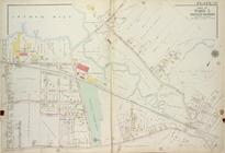
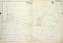
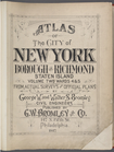
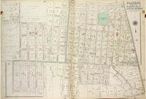
Atlas of The City of New York…
Plate 25, Part of Wards 1 & 3…
Plate 16, Part of Ward 1 [Map…
Plate 32, Part of Ward 5 [Map…
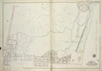
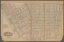
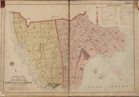
Plate 35:: [Bounded by Gouver…
Plate 22:: [Bounded by E. 98t…
Plate 11:: [Bounded by W. 26t…
Plate 28:: [Bounded by W. 133…
Plate 3:: [Bounded by (Hudson…
Plate 9:: [Bounded by Hancock…
Plate 18:: [Bounded by W. 50t…
Plate 6:: [Bounded by Rutgers…
Plate 32:: [Bounded by (Hudso…
Plate 23:: [Bounded by E. 110…
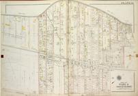
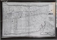
Block Index, Volume One
Atlas of city of New York Bor…
Street Index
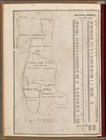
Outline and Index Map, Sectio…
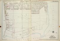
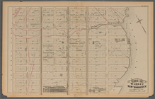
Plate 1 [Map bounded by E. 13…
Plate 2 [Map bounded by E. 13…
Plate 3 [Map bounded by E. 13…
Plate 4 [Map bounded by E. 14…
Plate 5 [Map bounded by E. 14…
Plate 6 [Map bounded by E. 14…
1
2
3
4
5
6
7
8
9
10
11
Previous
Next
1
2
3
4
5
6
7
8
9
10
11
Previous
Next