Click to visit the main New York Public Library Homepage
The New York Public Library
Digital Collections
About Digital Collections
Browse
Search only public domain materials
Items
Collections
Divisions
Home
Search
Browse
About
Search only public domain materials
Items
Collections
Divisions
Digital Collections
Using Images
Using Data
Search
Filtered search
Show filters
Hide filters
Show Only Public Domain
topic
Geography
376
History
176
Maps
148
Nautical charts
127
Description and travel
110
More
Less
name
Thornton, Samuel
174
Ortelius, Abraham, 1527-1598
130
Coignet, Michel, 1549-1623
123
Shawe, James
123
Moll, Herman, -1732
108
More
Less
collection
Lawrence H. Slaughter Collection of English maps, charts, globes, books and atlases
972
Bancker plans
895
Maps of North America
531
Atlases, gazetteers, guidebooks and other books
392
Maps of New York City and State
123
More
Less
place
United States
248
North America
245
Maps
219
Great Britain
167
America
162
More
Less
genre
Maps
3758
Surveys
920
land surveys
787
Prints
355
Nautical charts
185
More
Less
publisher
Printed for Ieames Shawe, and are to be solde at his shoppe nigh Ludgate,
123
s.n
67
M. Carey
60
publisher not identified
55
Published by Wm. Faden, geographer to His Majesty, and His R.H. the Prince of Wales
53
More
Less
division
Map Division
2206
Manuscripts and Archives Division
922
Rare Book Division
227
General Research Division
192
Wallach Division: Print Collection
114
More
Less
type
x
cartographic
text
250
still image
81
three dimensional object
12
Date Range
to
3,858 results found
Filtering on:
x
Date
: 1500 - 1825
x
Type
: cartographic
Sort by:
Title
Date created
Date digitized
Sequence
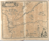
Pas kaart van de zee kusten v…
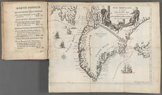
Oud-Groenland, of deszelfs Oo…
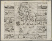
A map of Carolina, Florida an…
Plan of the town of Paramarib…
A map of Dutch settlements of…
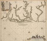
Pas-kaart vande Rivieren Comm…
Nieuwe kaart van Suriname : v…
Representation la plus nouvel…
A plan of the city of New Yor…
Carte des Isles de L'Amerique…
Carte de L'Isle de Saint-Domi…
Nette Koerswysing van Amsterd…
De nette koers wysing van de …
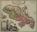
Le Ruyavme d Abyssinie ou lem…
L"empire du Monomotapa et la …
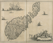
Isle de Malthe
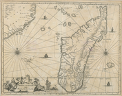
Isle de Madagascar dite de St…
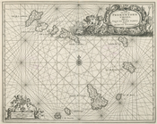
Isles dv Cap Verd
I. Goree
Afrique Ancienne
Afrique Moderne
Partie Septentrionale de L'An…
Africae Accurata Tabula ex Of…
Nova Aegypti Tabula
Barbaria Biledulgered o: Liby…
Fezzae et Marocchi Regna Afri…
Nigritarum Regio
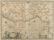
Gvinea
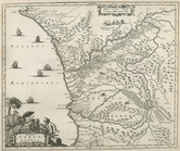
Aethiopia Inferior vel Exteri…
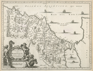
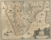
Regna Congo et Angola
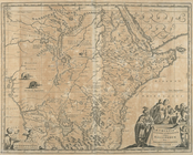
Aethiopia Superior vel Interi…
Insvla S. Lavrentii, vulgo Ma…
Insula Promontorii Viridis, H…
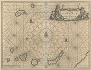
Insula Canariae alias Fortuna…
Melite Insula vulgo Masia
Difegno Della Citta Valletta
Isothermal chart, or, View of…
Tabula Nautica.
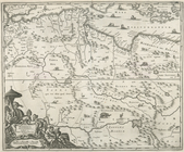
Americae Pars Borealis, Flori…
The Jeannette ; Lost In the I…
A Map or North East and North…
Præmatvræ solis apparitionis …
Kaert von Groen-Land, [fold o…
Nova Zembla, p. 101
m
Plano.: de la Ysla de Sn. Jua…
m
A chart of the discoveries of…
m
A New and Accurate Map of the…
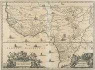
A new map of Africa from the …
m
Greenland, [Map]
Septentrionalium Terrarum des…
1
2
3
4
5
6
7
8
9
10
…
15
16
Previous
Next
1
2
3
4
5
6
7
8
9
10
…
15
16
Previous
Next