Click to visit the main New York Public Library Homepage
The New York Public Library
Digital Collections
About Digital Collections
Browse
Search only public domain materials
Items
Collections
Divisions
Home
Search
Browse
About
Search only public domain materials
Items
Collections
Divisions
Digital Collections
Using Images
Using Data
Search
Filtered search
Show filters
Hide filters
Show Only Public Domain
topic
Real property
1831
Administrative and political divisions
554
Landowners
493
Geography
486
History
448
More
Less
name
Beers, F. W. (Frederick W.)
534
Perris, William
308
United States Coast Survey
264
Everts, Ensign & Everts
231
Bache, A. D. (Alexander Dallas), 1806-1867
207
More
Less
collection
Maps of North America
2313
Atlases of the United States
1781
Lawrence H. Slaughter Collection of English maps, charts, globes, books and atlases
1093
Maps of New York City and State
1061
Bancker plans
895
More
Less
place
New York (State)
2346
United States
648
New York
629
New York (N.Y.)
608
Manhattan (New York, N.Y.)
479
More
Less
genre
Maps
9477
Atlases
1728
Surveys
933
land surveys
802
Prints
563
More
Less
publisher
publisher not identified
339
William Perris
142
U.S. Coast Survey
133
Perris & Browne
124
Printed for Ieames Shawe, and are to be solde at his shoppe nigh Ludgate,
123
More
Less
division
Map Division
7596
Manuscripts and Archives Division
931
General Research Division
322
Rare Book Division
307
Wallach Division: Print Collection
123
More
Less
type
x
cartographic
text
375
still image
215
Date Range
to
9,719 results found
Filtering on:
x
Date
: 1542 - 1879
x
Type
: cartographic
Sort by:
Title
Date created
Date digitized
Sequence
m
Maps of property in the city …
m
Nuevo mapa topográfico de la …
Pas kaart van de zee kusten v…
Oud-Groenland, of deszelfs Oo…
A map of Carolina, Florida an…
Plan of the town of Paramarib…
A map of Dutch settlements of…
Pas-kaart vande Rivieren Comm…
Nieuwe kaart van Suriname : v…
Representation la plus nouvel…
A plan of the city of New Yor…
Carte des Isles de L'Amerique…
Carte de L'Isle de Saint-Domi…
Nette Koerswysing van Amsterd…
De nette koers wysing van de …
Le Ruyavme d Abyssinie ou lem…
L"empire du Monomotapa et la …
Isle de Malthe
Isle de Madagascar dite de St…
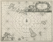
Isles dv Cap Verd
I. Goree
Afrique Ancienne
Afrique Moderne
Partie Septentrionale de L'An…
Africae Accurata Tabula ex Of…
Nova Aegypti Tabula
Barbaria Biledulgered o: Liby…
Fezzae et Marocchi Regna Afri…
Nigritarum Regio
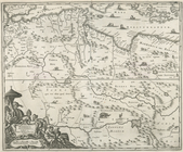
Gvinea
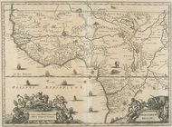
Aethiopia Inferior vel Exteri…
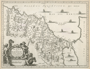
Regna Congo et Angola
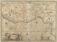
Aethiopia Superior vel Interi…
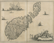
Insvla S. Lavrentii, vulgo Ma…
Insula Promontorii Viridis, H…
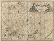
Insula Canariae alias Fortuna…
Melite Insula vulgo Masia
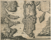
Difegno Della Citta Valletta
Isothermal chart, or, View of…
Tabula Nautica.
Americae Pars Borealis, Flori…
Plan of the Central Park, Cit…
Map of Camp Chase. Drawn on a…
Map illustrating the operatio…
Saratoga Springs [Township]
Schuylerville Business Direct…
Saratoga [Township]
Stillwater [Township]
References; Waterford [Villag…
Waterford [Township]
1
2
3
4
5
6
7
8
9
10
…
38
39
Previous
Next
1
2
3
4
5
6
7
8
9
10
…
38
39
Previous
Next