Click to visit the main New York Public Library Homepage
The New York Public Library
Digital Collections
About Digital Collections
Browse
Search only public domain materials
Items
Collections
Divisions
Home
Search
Browse
About
Search only public domain materials
Items
Collections
Divisions
Digital Collections
Using Images
Using Data
Search
Filtered search
Show filters
Hide filters
Show Only Public Domain
topic
Public figures
215
Tobacco
110
Perspective
61
Smoking
60
Geography
49
More
Less
name
Della Bella, Stefano, 1610-1664
190
Thornton, Samuel
182
Pozzo, Andrea, 1642-1709
104
Sturt, John, 1658-1730
104
Moll, Herman, -1732
54
More
Less
collection
Italian old master prints
338
Print Collection portrait file
215
Atlases, gazetteers, guidebooks and other books
182
Lawrence H. Slaughter Collection of English maps, charts, globes, books and atlases
133
Drawings, engraved plates, printed excerpts, etc. of tobacco interest from the 18th and 19th century, especially assembled for George Arents, Jr
109
More
Less
place
Maps
57
England
46
Rome
25
North America
23
Atlantic Ocean
22
More
Less
genre
Prints
864
Maps
337
Portraits
245
Clippings
215
Nautical charts
173
More
Less
publisher
Printed by B. Motte, sold by J. Sturt
104
Printed for Timothy Childe at the White Hart at the West-end of St. Paul's Church-yard
47
Printed at the Theater,
41
Printed for T. Shelmerdine
27
s.n
12
More
Less
division
Wallach Division: Print Collection
641
Map Division
336
George Arents Collection
109
Wallach Division: Art & Architecture Collection
104
Spencer Collection
96
More
Less
type
still image
1236
cartographic
334
text
164
notated music
6
three dimensional object
3
Date Range
to
1,675 results found
Filtering on:
x
Date
: 1700 - 1709
Sort by:
Title
Date created
Date digitized
Sequence
1- David Vinckeboons. 2- Jacq…
1. [Michel Janszen Miereveldt…
m
1704-1788
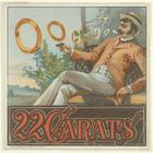
22 carats
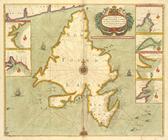
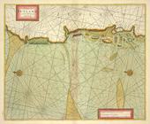
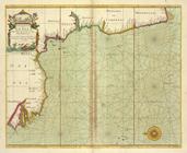
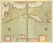
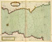
A chart od Iland of NEW FOUND…
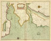
A chart of coast of ANGOLA fr…
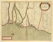
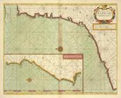
A chart of coast of BARBARY f…
A chart of coast of BIAFRA fr…
A chart of coast SWEDEN from …
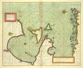
A chart of coasts of CIMBEBAS…
A chart of coasts of GABON, L…
A chart of EEMS ELVE, Wefer, …
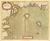
A chart of Islands Corfu, Pac…
A chart of JUTLAND and the Is…
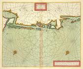
A chart of LYF LAND and East …
A chart of NORWAY from High L…
A chart of PRUSSIA and Coerla…
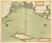
A chart of the bay of BISCAY …
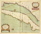
A chart of the BAY OF GALLOWA…
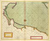
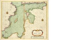
A chart of the BELT and SOUND
A chart of the BIGHT of BINNI…
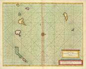
A chart of the CANARIE and MA…
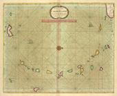
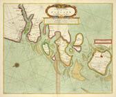
A chart of the CARIBE ILANDS
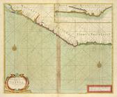
A chart of the coast of BARBA…
A chart of the coast of BARBA…
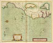
A chart of the coast of GUINE…
A chart of the east coast of …
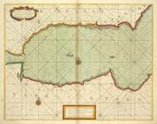
A chart of the EAST-SEA
A chart of the eastermost par…
A chart of the Eems of Old We…
A chart of the GOLD COAST in …
A chart of the Grain Ivory an…
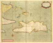
A chart of the Iland of HISPA…
A chart of the Island of MAUR…
A chart of THE ISLES off CAPE…
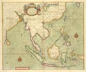
A chart of the LEVANT or the …
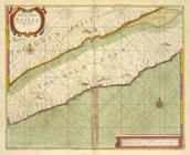
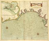
A chart of the NORTH SEA
A chart of the NORTH-WEST coa…
A chart of the sands, shoals,…
A chart of the sea coast from…
A chart of the sea coast of I…
A chart of the sea coast of I…
A chart of the sea coast of S…
A chart of the sea coast of S…
A chart of the sea coasts of …
A chart of the Sea-Coast of Z…
A chart of the Seacoasts of E…
A chart of the shoulds and ri…
A chart of the south part of …
A chart of the SOUTH SEA Texe…
1
2
3
4
5
6
7
Previous
Next
1
2
3
4
5
6
7
Previous
Next