Click to visit the main New York Public Library Homepage
The New York Public Library
Digital Collections
About Digital Collections
Browse
Search only public domain materials
Items
Collections
Divisions
Home
Search
Browse
About
Search only public domain materials
Items
Collections
Divisions
Digital Collections
Using Images
Using Data
Search
Filtered search
Show filters
Hide filters
Show Only Public Domain
topic
Maps
50
Geography
47
Atlases, British
46
Geography, Ancient
46
Maps in education
40
More
Less
name
Thornton, Samuel
173
Moll, Herman, -1732
109
Green, John, fl. 1730-1753
55
Astley, Thomas, -1839
52
Childe, Timothy
48
More
Less
collection
Lawrence H. Slaughter Collection of English maps, charts, globes, books and atlases
264
Atlases, gazetteers, guidebooks and other books
196
Maps of North America
149
A new general collection of voyages and travels: consisting of the most esteemed relations, which have been hitherto published in any language; comprehending everything remarkable in its kind, in Europe, Asia, Africa, and America
54
John H. Levine Collection
25
More
Less
place
North America
126
Maps
95
New Jersey
55
Early works to 1800
47
America
45
More
Less
genre
x
Maps
Nautical charts
174
Prints
83
Surveys
44
Manuscript maps
28
More
Less
publisher
Printed for T. Astley
54
Printed for Timothy Childe at the White Hart at the West-end of St. Paul's Church-yard
44
Printed at the Theater,
40
s.n
36
... Sold ... by Tho. Bowles, print and map-seller in St. Paul's-Churchyard
32
More
Less
division
Map Division
665
Rare Book Division
69
Schomburg Jean Blackwell Hutson Research and Reference Division
32
Manuscripts and Archives Division
27
Wallach Division: Print Collection
24
More
Less
type
cartographic
819
still image
28
text
12
Date Range
to
828 results found
Filtering on:
x
Date
: 1700 - 1764
x
Genre
: Maps
Sort by:
Title
Date created
Date digitized
Sequence
Oud-Groenland, of deszelfs Oo…
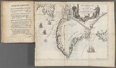
A map of Carolina, Florida an…
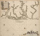
Pas-kaart vande Rivieren Comm…
Nieuwe kaart van Suriname : v…
Representation la plus nouvel…
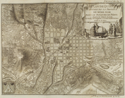
A plan of the city of New Yor…
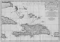
Carte des Isles de L'Amerique…
Carte de L'Isle de Saint-Domi…
Nette Koerswysing van Amsterd…
De nette koers wysing van de …
m
Maps
Plan du port, ville, citadell…
Map and survey of lands of up…
Survey of the Grange of Portm…
m
H.M.S. Aeolus and H.M.S. Norw…
Nouvelle carte de la Crimée &…
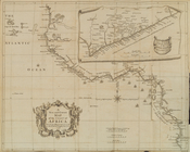
A new map of that part of Afr…
A map of the icy sea in which…
A new and correct map of the …
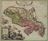
Plan de Quito Capitale de la …
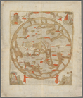
Orbis romani pars orientalis
Tabula Italiæ antiquæ geograp…
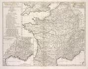
Gallia antiqua
Chertezh zemli Nerchinskiago …
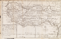
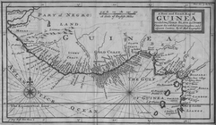
A New and Exact Map of Guinea…
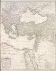
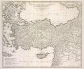
Asiæ, quæ vulgo Minor dicitur…
m
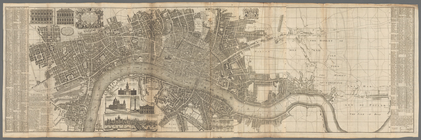
London surveyed or a new map …
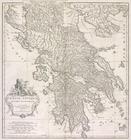
Græciæ antiquæ : specimen geo…
A general chart of all the co…
A Plan of the Straits of St. …
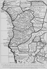
Parts of Ohio & Pennsylvania …
A map of the Congo regions pu…
Carte reduite des costes de l…
m
Land cleared near Mr. Apthorp…
Kniga glagolema︠i︡a kosmograf…
To the Right Honourable Willi…
Plan of the bay and island of…
m
Church and Rutgers
m
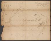
Tract divided for Peter Remsen
m
Road near Scott's
m
Colonel De Lancey's cleared l…
m
Long Island Sound
m
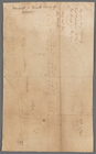
Plan of Dye Street
m
Crown Point
m
Cove
m
Kingston's ground on Long Isl…
m
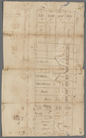
Great Dock - original protrac…
m
Yellis Mandeville 65 acres ne…
m
Spring Garden on Fair Street
m
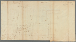
The pasture
1
2
3
4
Previous
Next
1
2
3
4
Previous
Next