Click to visit the main New York Public Library Homepage
The New York Public Library
Digital Collections
About Digital Collections
Browse
Search only public domain materials
Items
Collections
Divisions
Home
Search
Browse
About
Search only public domain materials
Items
Collections
Divisions
Digital Collections
Using Images
Using Data
Search
Filtered search
Show filters
Hide filters
Show Only Public Domain
topic
Geography
50
Nautical charts
11
World maps
7
Colonies
5
Cod fisheries
4
More
Less
name
Moll, Herman, -1732
94
Childe, Timothy
50
Falconer, Robert, active 1700
47
Luyts, Jan, 1655-1721
47
Bowles, Thomas, 1694-1773
32
More
Less
collection
x
Lawrence H. Slaughter Collection of English maps, charts, globes, books and atlases
place
North America
30
America
10
North America -- Maps -- Early works to 1800
10
Virginia
8
Atlantic Ocean
7
More
Less
genre
Maps
158
Title pages
3
Frontispieces
2
publisher
Printed for Timothy Childe at the White Hart at the West-end of St. Paul's Church-yard
47
... Sold ... by Tho. Bowles, print and map-seller in St. Paul's-Churchyard
32
Printed for Jer. Seller and Char. Price, at the Hermitage in Wapping
9
Printed for Thomas Page and William Mount, at the Postern, on Tower-Hill
6
s.n
6
More
Less
division
Map Division
163
type
cartographic
155
text
7
still image
5
Date Range
to
164 results found
Filtering on:
x
Date
: 1701 - 1740
x
Collection
: Lawrence H. Slaughter Collection of English maps, charts, globes, books and atlases
For more collection details, visit the
Lawrence H. Slaughter Collection of English maps, charts, globes, books and atlases collection page
.
Sort by:
Title
Date created
Date digitized
Sequence
m
London surveyed or a new map …
Nieuwe wassende graade zee ka…
L'Amerique septentrionale : d…
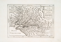
Virginia, Marylandia et Carol…
D'Engelze volkplanting in Vir…
Carte de la Louisiane et du c…
Carte du Mexique et de la Flo…
Regni Mexicani seu Novae Hisp…
Carte de la Nouvelle France: …
A new map of ye north parts o…
Le Canada, ou Nouvelle France…
A Map of Carolana and of the …
Nieu Amsterdam, een stedeken …
A new map of Virginia, Mary-l…
Nova Virginiae tabula
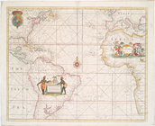
A Generall chart of the Weste…
A Generall chart for the West…
A new generall chart for the …
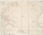
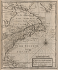
The Western Ocean.
Terra nova, ac maris tractus …
A New and correct chart of th…
A Chart of ye coast of New En…
Repraesentatio Americae Borea…
Amerique septentrionale : div…
America septentrionalis.
A New chart of Delaware Bay :…
An exact mapp of New England …
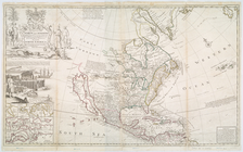
This map of North America acc…
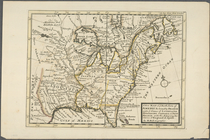
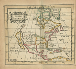
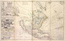
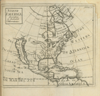
North America
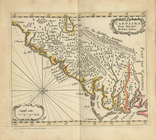
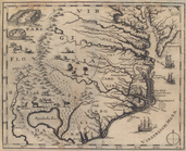
Carolina newly discribed
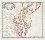
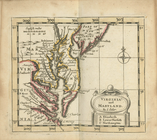
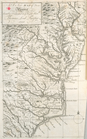
Virginia and Maryland
Pensilvania
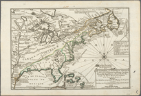
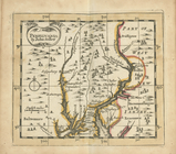
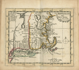
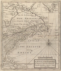
New England and New York
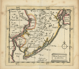
New Iarsey
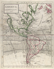
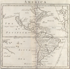
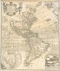
America
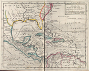
A map of the West-Indies &c. …
This map of North America, ac…
m
A new and exact map of the do…
m
A new map of the north parts …
America
The English empire in America…
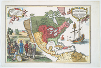
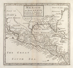
Mexico, or, New Spain : divid…
D'Engelze volkplanting in Vir…
Delineatio Pennsilvaniae et C…
North America : according to …
Map of Virginia, North Caroli…
The English Empire in America…
A new and correct map of Amer…
A New map of Virginia.
America