Click to visit the main New York Public Library Homepage
The New York Public Library
Digital Collections
About Digital Collections
Browse
Search only public domain materials
Items
Collections
Divisions
Home
Search
Browse
About
Search only public domain materials
Items
Collections
Divisions
Digital Collections
Using Images
Using Data
Search
Filtered search
Show filters
Hide filters
Show Only Public Domain
topic
Geography
188
History
120
Maps
116
Nautical charts
86
Historical geography
58
More
Less
name
Thornton, Samuel
173
Moll, Herman, -1732
109
Faden, William, 1749-1836
101
Sayer, Robert, 1725-1794
64
Tiebout, Cornelius, 1777-1832
63
More
Less
collection
Bancker plans
732
Lawrence H. Slaughter Collection of English maps, charts, globes, books and atlases
567
Maps of North America
372
Atlases, gazetteers, guidebooks and other books
296
Maps of New York City and State
74
More
Less
place
North America
199
United States
180
Great Britain
154
Maps
113
Early works to 1800
103
More
Less
genre
x
Maps
Surveys
756
land surveys
634
Nautical charts
182
Prints
123
More
Less
publisher
s.n
56
Printed for T. Astley
54
Published by Wm. Faden, geographer to His Majesty, and His R.H. the Prince of Wales
53
Printed for John Cary
47
Printed for Robert Sayer, No. 53, Fleet-Street
44
More
Less
division
Map Division
1393
Manuscripts and Archives Division
751
Rare Book Division
114
Wallach Division: Print Collection
61
General Research Division
45
More
Less
type
cartographic
2444
text
186
still image
42
Date Range
to
2,460 results found
Filtering on:
x
Date
: 1701 - 1800
x
Genre
: Maps
Sort by:
Title
Date created
Date digitized
Sequence
Results 1251 - 1300
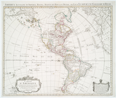
Carte du theatre de la guerre…
A chart of Delaware Bay and R…
A chart of Delaware Bay and R…
A chart of Delaware Bay and R…
Baye de la Delaware avec les …
Carte du théatre de la guerre…
A Chart of ye coast of New En…
A chart of the sea coast of N…
Carte du théatre de la guerre…
Carte reduite des costes orie…
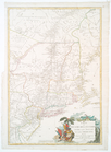
A new and accurate map of New…
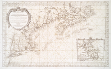
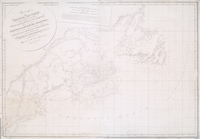
The coast of Nova Scotia, New…
A general map of North Americ…
Repraesentatio Americae Borea…
A new & correct map of the tr…
A chart of Delawar River from…
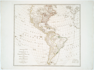
Amerique septentrionale : div…
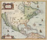
America septentrionalis.
L'Amérique septentrionale
A new map of North America: w…
Amerique septentrionale.
Carte de l'Amérique septentri…
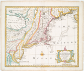
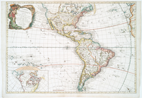
A map of America or the New W…
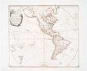
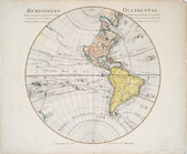
Hemisphere occidental dresse …
Carte d'Amerique : diviseé en…
A New chart of Delaware Bay :…
The State of Virginia from th…
Plan of the city of Washingto…
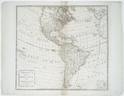
America divided into North an…
Carte d'Amerique, divisées en…
A General map of America divi…
The Earth's Western planisphe…
The coast of Nova Scotia, New…
A new map of the whole contin…
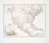
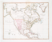
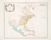
North America
Amérique, ou, Indes occidenta…
A map of Maryland with the De…
m
A map of the most inhabited p…
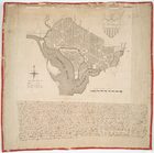
Plan of the city of Washington
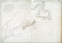
An exact mapp of New England …
Partie de l'Amérique septentr…
A new and correct map of Nort…
m
Amérique Septentrionale publi…
This map of North America acc…
Carte de la Nouvelle York : y…
Carte de la Virginie, du Mary…
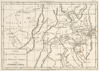
Carte de la Pensylvanie et du…
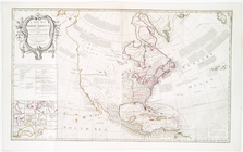
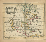
North America
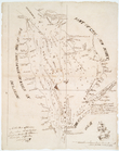
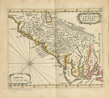
Carolina newly discribed
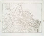
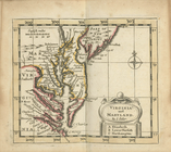
Virginia and Maryland
1
2
3
4
5
6
7
8
9
10
Previous
Next
1
2
3
4
5
6
7
8
9
10
Previous
Next