Click to visit the main New York Public Library Homepage
The New York Public Library
Digital Collections
About Digital Collections
Browse
Search only public domain materials
Items
Collections
Divisions
Home
Search
Browse
About
Search only public domain materials
Items
Collections
Divisions
Digital Collections
Using Images
Using Data
Search
Filtered search
Show filters
Hide filters
Show Only Public Domain
topic
Perspective
61
Corinthian order
15
Actors
14
Description and travel
13
Doric order
13
More
Less
name
Thornton, Samuel
182
Pozzo, Andrea, 1642-1709
104
Sturt, John, 1658-1730
104
Parsons, William Barclay, 1859-1932
52
Ertinger, Franz, 1640-ca. 1710
24
More
Less
collection
Atlases, gazetteers, guidebooks and other books
182
Rules and examples of perspective, proper for painters and architects, etc
104
Playing cards: Mechanics
52
Lawrence H. Slaughter Collection of English maps, charts, globes, books and atlases
24
Prints depicting dance
24
More
Less
place
Atlantic Ocean
19
Italy
17
Rome
15
English Channel
14
Africa
11
More
Less
genre
Prints
218
Maps
199
Nautical charts
173
Playing cards
52
Documents
23
More
Less
publisher
Printed by B. Motte, sold by J. Sturt
104
Printed for Jer. Seller and Char. Price, at the Hermitage in Wapping
9
Librairie de Paris
8
Printed at the Theater...And sold by Jonah Bowyer
8
J. Knapton [etc.]
5
More
Less
division
Map Division
208
Wallach Division: Art & Architecture Collection
104
Rare Book Division
56
Jerome Robbins Dance Division
24
Manuscripts and Archives Division
23
More
Less
type
still image
249
cartographic
199
text
46
Date Range
to
480 results found
Filtering on:
x
Date
: 1702 - 1707
Sort by:
Title
Date created
Date digitized
Sequence
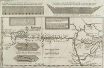
The dwelling houses of the Ta…
Naylor
Thomas Venner
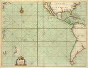
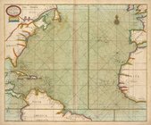
A generall chart of the South…
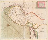
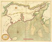
A new mapp of East and West N…
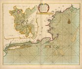
Part of New England, New York…
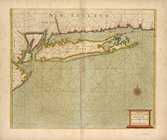
A large draught of New Englan…
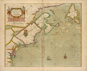
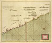
A new chart of the sea coast …
A new and correct chart from …
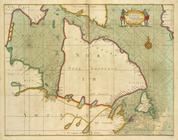
A large draft of SOUTH CAROLI…
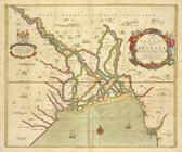
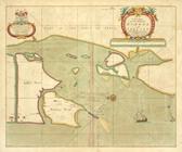
A new mapp of CAROLINA ; A la…
Part of NEW ENGLAND
HARBOR GRACE part of New -Fou…
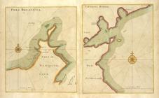
PORT BONAVISTA part of New-fo…
A new chart of the trading pa…
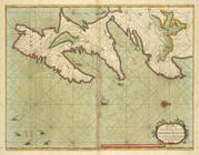
A chart od Iland of NEW FOUND…
A new and correct chart of th…
A draught of the coast of NEW…
A large draught from Benjar o…
A large draught of the south …
A large draught of the North …
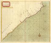
A large draught of the coast …
A large draught of the east e…
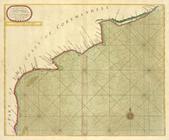
A large draught of the coast …
A new and correct chart of pa…
A mapp of the greate river GA…
A new and correct chart shewi…
A new chart of the coast of O…
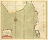
A new chart of part of the co…
A large chart of part of the …
A chart of the eastermost par…
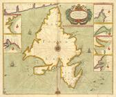
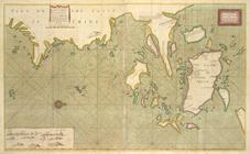
A new mapp of the Island of Z…
A large draught of the MALLAB…
A large draught of parrt of t…
A new mapp of the Island of B…
A large chart of part of the …
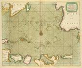
A large draught of the GOLF o…
A large draught of the coast …
A chart of the straits of BAB…
A chart of the Island of MAUR…
A new draught of the Island o…
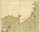
A draught of the south part o…
A draught of Cape Bona ESPERA…
A chart of the WESTERN part o…
A chart of THE ISLES off CAPE…
A chart of the CANARIE and MA…
A prospect of James Fort on t…
A new mapp of the Island of S…
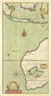
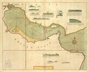
A chart of coasts of CIMBEBAS…
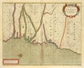
A chart of coast of ANGOLA fr…
1
2
Previous
Next
1
2
Previous
Next