Click to visit the main New York Public Library Homepage
The New York Public Library
Digital Collections
About Digital Collections
Browse
Search only public domain materials
Items
Collections
Divisions
Home
Search
Browse
About
Search only public domain materials
Items
Collections
Divisions
Digital Collections
Using Images
Using Data
Search
Filtered search
Show filters
Hide filters
Show Only Public Domain
topic
Early works to 1800
1
Colonies
1
Early works to 1800
1
name
Wells, Edward, 1667-1727
3
Burghers, M
2
Chatelain, Henri Abraham
2
University of Oxford
2
Cordier, Louis, -1711
1
More
Less
collection
Maps of North America
4
Lawrence H. Slaughter Collection of English maps, charts, globes, books and atlases
3
Empire des Abissins: comme il est presentement
1
The Eno collection of New York City views
1
place
North America
6
Caribbean Area
2
New France
2
America
1
Early works to 1800
1
More
Less
genre
x
Maps
Prints
1
publisher
Chez L'Honoré & Châtelain Libraires?
2
Chez H. Iaillot, joignant les grands Augustins, aux deux Globes
1
Chez Jean David Zunner
1
Chez l'Honoré & Châtelain Libraires?
1
Printed by T.W. for R. Bonwicke, J. Walthoe, R. Wilkin, and T. Ward,
1
More
Less
division
Map Division
7
Schomburg Jean Blackwell Hutson Research and Reference Division
1
Wallach Division: Print Collection
1
type
cartographic
9
Date Range
to
9 results found
Filtering on:
x
Date
: 1719 - 1719
x
Genre
: Maps
Sort by:
Title
Date created
Date digitized
Sequence
Empire des Abissins: comme il…
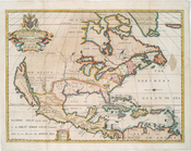
Carte de la Nouvelle France: …
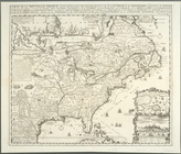
Amerique septentrionale : div…
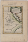
A new map of North America sh…
A new map of North America sh…
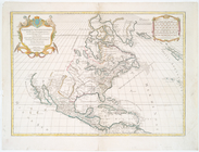
A new map of the most conside…
Carte de la Nouvelle France :…
Carte qui contient une descip…
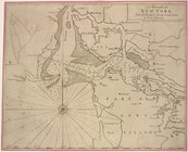
A draught[sic] of New York fr…