Click to visit the main New York Public Library Homepage
The New York Public Library
Digital Collections
About Digital Collections
Browse
Search only public domain materials
Items
Collections
Divisions
Home
Search
Browse
About
Search only public domain materials
Items
Collections
Divisions
Digital Collections
Using Images
Using Data
Search
Filtered search
Show filters
Hide filters
Show Only Public Domain
topic
Colonies
3
Beavers
1
Blacks
1
Cod fisheries
1
Maps
1
More
Less
name
Moll, Herman, -1732
8
Bowles, John, 1701-1779
6
Bowles, Thomas, -1767
2
Bowles, Thomas, 1694-1773
2
Bowles, Thomas, 1694-1773
2
More
Less
collection
Lawrence H. Slaughter Collection of English maps, charts, globes, books and atlases
11
Maps of North America
6
John H. Levine Collection
2
place
x
North America
America
2
France
2
Great Britain
2
North America -- Maps -- Early works to 1800
2
More
Less
genre
Maps
19
publisher
s.n
3
... Sold ... by Tho. Bowles, print and map-seller in St. Paul's-Churchyard
2
J. Senex
2
Printed for Tho. Bowles and John Bowles
2
Homann Erben
2
More
Less
division
Map Division
19
type
cartographic
19
text
1
Date Range
to
19 results found
Filtering on:
x
Date
: 1723 - 1738
x
Place
: North America
Sort by:
Title
Date created
Date digitized
Sequence
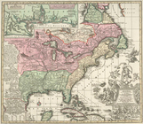
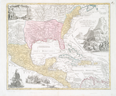
A map of the British-plantati…
This map of North America, ac…
m
A new map of the north parts …
Accurata delineatio celeberri…
A map of the British Empire i…
A new map of ye north parts o…
A new map of ye north parts o…
Carte de la Nouvelle France, …
Carte contenant le royaume du…
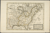
A new and exact map of the do…
A new and exact map of the do…
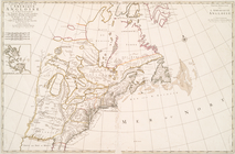
A map of New England, New Yor…
Carte nouvelle de l'Amerique …
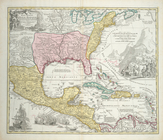
Regni Mexicani seu Novae Hisp…
Regni Mexicani seu Novae Hisp…
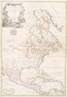
North America : : corrected f…
m
North America : : corrected f…
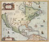
America septentrionalis.
m
A new and exact map of the do…
End of results
|
Top