Click to visit the main New York Public Library Homepage
The New York Public Library
Digital Collections
About Digital Collections
Browse
Search only public domain materials
Items
Collections
Divisions
Home
Search
Browse
About
Search only public domain materials
Items
Collections
Divisions
Digital Collections
Using Images
Using Data
Search
Filtered search
Show filters
Hide filters
Show Only Public Domain
topic
Real property
10798
Fire insurance
5289
Cities & towns
5000
Administrative and political divisions
900
Railroads
778
More
Less
name
Sanborn Map Company
5091
G.W. Bromley & Co
2470
Bromley, George Washington
797
Bromley, Walter Scott
797
Austro-Hungarian Monarchy. Militärgeographisches Institut
773
More
Less
collection
Atlases of New York City
10574
Atlases of the United States
3683
Maps of North America
3228
Maps of New York City and State
2021
Bancker plans
893
More
Less
place
New York (State)
12126
New York
3969
New York (N.Y.)
2398
Manhattan (New York, N.Y.)
2362
Brooklyn (New York, N.Y.)
1165
More
Less
genre
Maps
23317
Atlases
3613
Topographic maps
1060
Surveys
973
land surveys
800
More
Less
publisher
Sanborn Map Company
5127
G.W. Bromley & Co
2293
E. Belcher Hyde
780
K.u.K. Militargeographisches Institut
773
publisher not identified
448
More
Less
division
Map Division
21324
Manuscripts and Archives Division
991
General Research Division
470
Rare Book Division
252
Schomburg Jean Blackwell Hutson Research and Reference Division
134
More
Less
type
x
cartographic
text
562
still image
257
Date Range
to
23,640 results found
Filtering on:
x
Date
: 1727 - 1958
x
Type
: cartographic
Sort by:
Title
Date created
Date digitized
Sequence
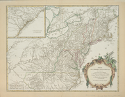
Map of the Borough of the Bro…
Map of the City of New York. …
Map of New York City showing …
[Three maps on one sheet] One…
Hagstrom's map of the Bronx, …
1st Ward of NYC: [in draft du…
m
Urbis Romae prospectus 1593
Map of Ancient Campania
Europe im 17. und 18. Jahrhun…
From New York (1) to Stratford
Il delta del Po, la Laguna Ve…
Basin of the North Atlantic O…
Gulf Stream and Drift
m
Bartholdi's illustrated map o…
Map of Africa
m
Plate from The tapestry hangi…
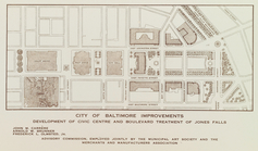
City of Baltimore improvement…
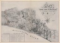
Map of the new line of defenc…
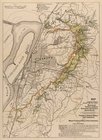
Map of the Vicksburg national…
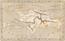
Map of Hispaniola. Hayti or S…
General plan submitted by the…
m
Carta dell' Egitto, Sudan, Ma…
Orenburg Province (six of Hea…
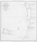
A Chart of the islands of Ane…
Map of US/Canada border by Sa…
Map of Clermont-Ferrand (Vill…
Map of Nice (Ville)
m
Map of Clermont-Ferrand ; Map…
10th ward, Jewish Quarter...
6th & 14th wards, Italian Qua…
Ancient Greece, [plate follow…
Countries named in the Histor…
Plan de la maison de plaisanc…
Solitude jardin chinois anglo…
Some trails of the Cranberry …
Ft. Montgomery and the Hudson…
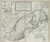
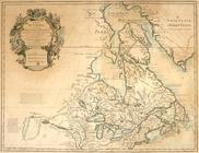
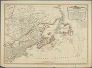
Carte du Canada ou de la Nouv…
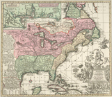
A map of the British Empire i…
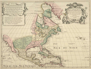
Amérique septentrionale dress…
The United States of North Am…
La Floride : suivant les nouv…
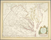
Carte de la Virginie et du Ma…
L'Amerique septentrionale: dr…
Accurata delineatio celeberri…
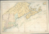
A draught of New York from th…
m
A new and exact map of the do…
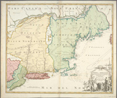
Nova Anglia Septentrionali Am…
Partie de l'Amerique septentr…
A New and correct map of the …
Carte réduite des côtes orien…
1
2
3
4
5
6
7
8
9
10
…
94
95
Previous
Next
1
2
3
4
5
6
7
8
9
10
…
94
95
Previous
Next