Click to visit the main New York Public Library Homepage
The New York Public Library
Digital Collections
About Digital Collections
Browse
Search only public domain materials
Items
Collections
Divisions
Home
Search
Browse
About
Search only public domain materials
Items
Collections
Divisions
Digital Collections
Using Images
Using Data
Search
Filtered search
Show filters
Hide filters
Show Only Public Domain
topic
Colonies
6
History
6
Nautical charts
6
Real property
3
Coasts
2
More
Less
name
Jefferys, Thomas, -1771
7
Kitchin, Thomas, d. 1784
6
Anville, Jean Baptiste Bourguignon d', 1697-1782
5
Bellin, Jacques Nicolas, 1703-1772
4
Cóvens et Mortier
4
More
Less
collection
Maps of North America
34
Lawrence H. Slaughter Collection of English maps, charts, globes, books and atlases
21
John H. Levine Collection
4
I. N. Phelps Stokes Collection of American Historical Prints
2
Maps of New York City and State
2
More
Less
place
North America
30
America
10
Louisiana
10
Great Britain
9
New Jersey
9
More
Less
genre
x
Maps
Manuscript maps
3
Plans
3
Surveys
3
Prints
2
More
Less
publisher
s.n.,
4
Chez l'auteur, aux Galeries du Louvre
3
Printed for R. Baldwin in Pater Noster Row
3
s.n
3
Chez Cóvens & Mortier
2
More
Less
division
Map Division
63
Manuscripts and Archives Division
2
Wallach Division: Print Collection
2
type
cartographic
67
still image
4
Date Range
to
67 results found
Filtering on:
x
Date
: 1755 - 1758
x
Genre
: Maps
Sort by:
Title
Date created
Date digitized
Sequence
m
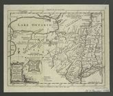
Spring Garden on Fair Street
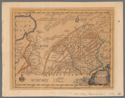
A map of the colonies of Conn…
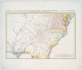
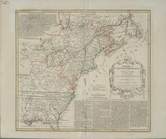
A general map of the middle B…
An actual survey of the sea c…
Amérique septentrionale : dre…
Amérique septentrionale : dre…
A new and accurate map of the…
Carte de la Louisiane, Maryla…
Carte de la Louisiane, Maryla…
A general map of the middle B…
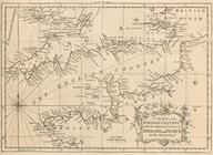
A chart of the English Channe…
A map of New England, and Nov…
The Earth's Western planisphe…
m
A map of South Carolina and a…
A new and accurate map of the…
Carte de la Virginie et du Ma…
Carte reduite des costes orie…
L'Amérique septentrionale
Carte de la Nouvelle Angleter…
A map of Maryland with the De…
An accurate map of North Amer…
Carte reduite de l'Ocean occi…
L'Amérique septentrionale
A map of Maryland with the De…
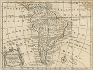
An accurate map of South Amer…
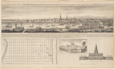
An east prospect of the city …
A map of the eastern part of …
America Septentrionalis a Dom…
Carte du Canada et de la Loui…
m
A map of the province of Pens…
A map of Virginia and Maryland
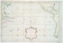
Carte reduite des mers compri…
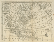
America Septentrionalis a Dom…
America Septentrionalis a Dom…
A map of the eastern part of …
m
Draught of Gidion's Bickerdik…
A prospective plan on the bat…
A Map of the British and Fren…
A map of the British Empire i…
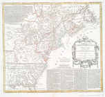
A map of the most inhabited p…
Canada et Louisiane
Carte de l'Amérique septentri…
A map of Virginia, North and …
m
A map of the most inhabited p…
A map of the British and Fren…
Partie de l'Amérique septentr…
A Map of the British and Fren…
North America from the French…
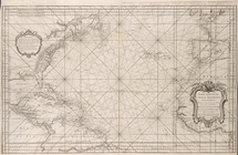
A new chart of the vast Atlan…
A Map of the British and Fren…