Click to visit the main New York Public Library Homepage
The New York Public Library
Digital Collections
About Digital Collections
Browse
Search only public domain materials
Items
Collections
Divisions
Home
Search
Browse
About
Search only public domain materials
Items
Collections
Divisions
Digital Collections
Using Images
Using Data
Search
Filtered search
Show filters
Hide filters
Show Only Public Domain
topic
History
86
Description and travel
56
Nautical charts
49
Antiquities
40
Maps
34
More
Less
name
Norden, Frederik Ludvig, 1708-1742
40
Tuscher, Markus, 1705-1751
40
Faden, William, 1749-1836
38
Kitchin, Thomas, 1718-1784
26
Lodge, John, -1796
23
More
Less
collection
Bancker plans
444
Maps of North America
184
Lawrence H. Slaughter Collection of English maps, charts, globes, books and atlases
126
Maps of New York City and State
48
The antiquities, natural history, ruins and other curiosities of Egypt, Nubia and Thebes. Exemplified in near two hundred drawings taken on the spot
40
More
Less
place
North America
83
United States
65
New York (N.Y.)
55
New Jersey
49
Maps
48
More
Less
genre
Maps
954
Surveys
448
land surveys
370
Documents
73
Prints
71
More
Less
publisher
Printed for Lockyer Davis
40
s.n
23
Imprimé à l'Université Imperiale de Moscou
22
publisher not identified
21
Presso Antonio Zatta
12
More
Less
division
Manuscripts and Archives Division
452
Map Division
414
General Research Division
61
Rare Book Division
30
Wallach Division: Print Collection
27
More
Less
type
x
cartographic
text
84
still image
10
Date Range
to
1,002 results found
Filtering on:
x
Date
: 1759 - 1784
x
Type
: cartographic
Sort by:
Title
Date created
Date digitized
Sequence
A map of Dutch settlements of…
m
Plano.: de la Ysla de Sn. Jua…
m
H.M.S. Aeolus and H.M.S. Norw…
Pennsylvania and Maryland map
Pennsylvania - Paoli, Chester…
A chorographical map of the P…
A map of the icy sea in which…
Plan de la ville Tartare de P…
Det gamle Norge
m
Rough dr of Jn Devoor's farm
Orbis romani pars orientalis
Tabula Italiæ antiquæ geograp…
La Palestine
Ægyptus antiqua : Mandato ser…
Gallia antiqua
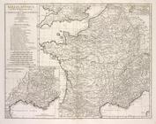
A new map of North America fr…
A plan of Captain Carvers tra…
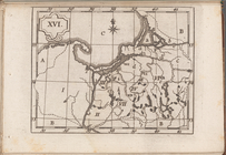
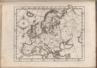
Atlas des enfans..., XVI
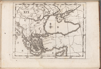
Atlas des enfans..., XIX
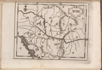
Atlas des enfans..., XVIII
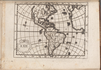
Atlas des enfans..., XXII
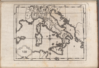
Atlas des enfans..., VIII
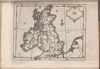
Atlas des enfans..., XI
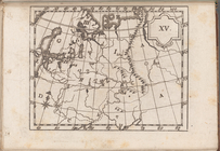
Atlas des enfans..., XV
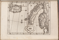
Atlas des enfans..., XIII
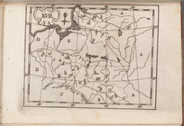
Atlas des enfans..., XVII
Atlas des enfans..., V
Atlas des enfans..., IV
Atlas des enfans..., II
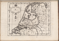
Atlas des enfans..., X
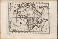
Atlas des enfans..., XXI
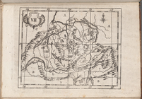
Atlas des enfans..., VII
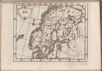
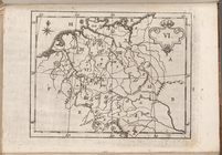
Atlas des enfans..., XIV
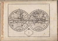
Atlas des enfans..., I
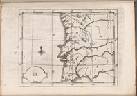
Atlas des enfans..., III
Atlas des enfans..., VI
Atlas des enfans..., IX
Atlas des enfans..., XII
Atlas des enfans..., XX
Asiæ, quæ vulgo Minor dicitur…
m
Map of the East Side of the N…
Græciæ antiquæ : specimen geo…
A compleat map of North-Carol…
A general chart of all the co…
A Plan of the Straits of St. …
Plan of the position which th…
Grundriss des nördlichen Thei…
Plan von den Operationen der …
Parts of Ohio & Pennsylvania …
A plan of New York Island, pa…
1
2
3
4
5
Previous
Next
1
2
3
4
5
Previous
Next