Click to visit the main New York Public Library Homepage
The New York Public Library
Digital Collections
About Digital Collections
Browse
Search only public domain materials
Items
Collections
Divisions
Home
Search
Browse
About
Search only public domain materials
Items
Collections
Divisions
Digital Collections
Using Images
Using Data
Search
Filtered search
Show filters
Hide filters
Show Only Public Domain
topic
Astronomy
30
Celestial charts
30
Constellations
30
Stars
30
Description and travel
7
More
Less
name
Flamsteed, John, 1646-1719
30
Joly, Joseph Romain, 1715-1805
7
Kaempfer, Engelbert, 1651-1716
4
Scheuchzer, John Gaspar, 1702-1729
4
L'Isle, Joseph Nicolas de, 1688-1768
1
More
Less
collection
Atlas celeste de Flamsteed, publie en 1776
30
La géographie sacrée, et les monuments de l'histoire sainte
7
The history of Japan, giving an account of the ancient and present state and government of that empire [...] Together with a description of the kingdom of Siam: giving an account of the ancient and present state and government of that empire; of its temples, palaces, castles, and other buildings; of its metals, minerals, trees, plants, animals, birds and fishes; of the chronology and succession of the emperors ... of the original descent, religions, customs, and manufactures of the natives, and of their trade and commerce with the Dutch and Chinese. Together with a description of the kingdom of Siam
4
A voyage to the river Sierra-Leone, on the coast of Africa: containing an account of the trade and productions of the country, and of the civil and religious customs and manners of the people; in a series of letters to a friend in England
1
Description de la ville de Peking, pour servir à l'intelligence du plan de cette ville, gravé per les soins de m. de L'Isle
1
More
Less
place
Japan
4
Palestine
4
Hamamatsu-shi (Japan)
2
Kokura-han (Japan)
2
Middle East
2
More
Less
genre
x
Maps
Illustrations
4
Prints
4
Plans
1
publisher
Chez Delamarche
30
A. Jombert
7
The translator
4
B. White and Son [etc.]
1
Bekostet af H. Mumme og Faber
1
More
Less
division
x
General Research Division
type
cartographic
45
still image
2
Date Range
to
45 results found
Filtering on:
x
Date
: 1760 - 1800
x
Division
: General Research Division
x
Genre
: Maps
Sort by:
Title
Date created
Date digitized
Sequence
Chart of part of the Coast of…
Plan de la ville Tartare de P…
Det gamle Norge
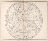
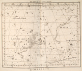
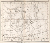
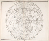
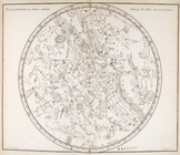
Hemisphere boreal.
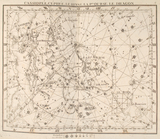
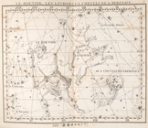
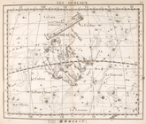
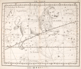
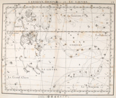
Cassiopée, cépheée, le renne,…
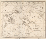
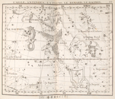
Andromede, persée, le triangl…
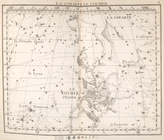
La giraffe, le cocher.
La lynx, le petit lion.
La grande ourse.
Le bouvier, les levriers, la …
Hercule, la couronne.
Le serpentaire & le serpent.
L'aigle, antinoűs, la flêche,…
La lyre, le cygne, le lezard,…
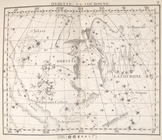
Pegase, le petit cheval, le d…
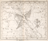
Le belier.
Le taureau.
Les gemeaux.
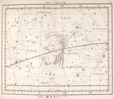
Le cancer.
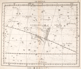
Le lion
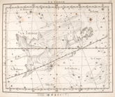
La vierge.
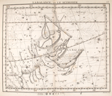
La balance & le scorpion.
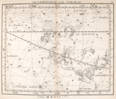
Le capricorne & le verseau.
Les poissons.
La baleine
L'eridan, orion & le lievre
La licorne, le grand chien.
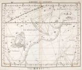
Lhydre le sextant.
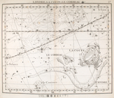
Lhydre, la coupe, le corbeau.
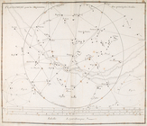
Hemisphere austral.
Hemisphere austral, fuivant l…
Planisphere & figures.
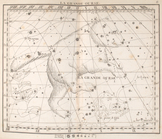
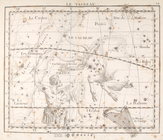
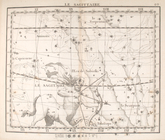
La sagittaire.
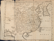
Map of China
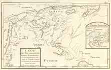
Carte des pays frequentés par…
Route des Hebreux pour passer…
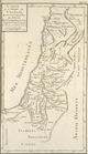
Carte de la terre de Chanaan,…
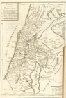
Carte de la Palestine selon l…
Carte de la Palestine depuis …
Carte des provinces ecclesias…
Carte de l'Europe et de l'Asi…
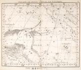
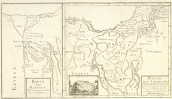
A particular map of the road …
A particular map of the road …
A particular map of the voyag…
A particular map of the autho…
End of results
|
Top