Click to visit the main New York Public Library Homepage
The New York Public Library
Digital Collections
About Digital Collections
Browse
Search only public domain materials
Items
Collections
Divisions
Home
Search
Browse
About
Search only public domain materials
Items
Collections
Divisions
Digital Collections
Using Images
Using Data
Search
Filtered search
Show filters
Hide filters
Show Only Public Domain
topic
History
25
Administrative and political divisions
7
Long Island, Battle of, New York, N.Y., 1776
6
Nautical charts
6
Maps
4
More
Less
name
Faden, William, 1749-1836
12
Montrésor, John, 1736-1799
7
Kitchin, Thomas, 1718-1784
6
Andrews, Peter, active 1765-1782
4
Dury, Andrew
4
More
Less
collection
x
Maps of New York City and State
place
New York (State)
26
New York (N.Y.)
21
New Jersey
8
Manhattan (New York, N.Y.)
7
Long Island (N.Y.)
6
More
Less
genre
x
Maps
Manuscript maps
4
Early works to 1800
3
Bird's-eye views
2
Cadastral maps
2
More
Less
publisher
publisher not identified
5
A. Dury ..
4
J. Hinton
3
Printed for R. Baldwin
3
s.n
3
More
Less
division
Map Division
69
type
cartographic
69
text
1
Date Range
to
69 results found
Filtering on:
x
Date
: 1760 - 1800
x
Genre
: Maps
x
Collection
: Maps of New York City and State
For more collection details, visit the
Maps of New York City and State collection page
.
Sort by:
Title
Date created
Date digitized
Sequence
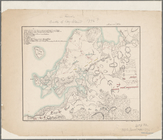
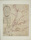
A perspective view of Lake Ge…
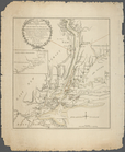
Plan of the position which th…
Grundriss des nördlichen Thei…
Plan von den Operationen der …
A plan of New York Island, pa…
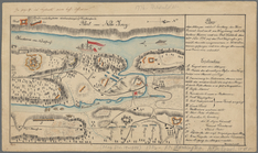
Map of Brooklyn during the Ba…
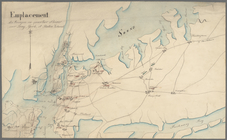
Emplacement des troupes en qu…
Plan der Attaque, welche Sr. …
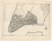
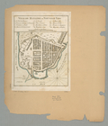
Plan of the city of New York
A map of the country between …
Pencil sketch of Rochester, N…
Operations after the evacuati…
m
Map of Long Island and adjace…
A prospective view of the bat…
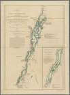
A survey of Lake Champlain: i…
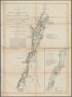
A survey of Lake Champlain: i…
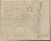
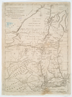
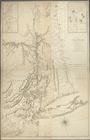
The state of New York
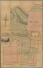
Map of property at New Bright…
A New & Accurate Plan of the …
m
Province de New-York : en 4 f…
m
Oyster Bay and Huntington, Hu…
Plan de New-York et des envir…
m
Map of the progress of His Ma…
The Country twenty five miles…
m
Plan of the encampment and po…
m
Plan of the encampment and po…
A plan of New York Island, wi…
Ville de Manathe ou Nouvelle-…
A chart of the bar of Sandy H…
A new & accurate plan of the …
An accurate map of Staten Isl…
A new and accurate map of the…
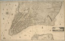
Plan of the city of New York …
To His Excellency Sr. Henry M…
m
The engagement on the White P…
A plan of the operations of t…
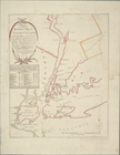
Part of the counties of Charl…
Map of Hudson's River, with t…
A perspective view of Lake Ge…
A Plan of the city and enviro…
An accurate map of Staten Isl…
The seat of action between th…
A map of the Province of New …
A map of the Province of New …
A map of the Province of New …
A map of the Province of New …
m
A chorographical map of the p…
A chorographical map of the p…
A draught of New York from th…
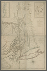
The state of New York, compil…