Click to visit the main New York Public Library Homepage
The New York Public Library
Digital Collections
About Digital Collections
Browse
Search only public domain materials
Items
Collections
Divisions
Home
Search
Browse
About
Search only public domain materials
Items
Collections
Divisions
Digital Collections
Using Images
Using Data
Search
Filtered search
Show filters
Hide filters
Show Only Public Domain
topic
Geography
141
History
106
Maps
83
Historical geography
57
Nautical charts
57
More
Less
name
Faden, William, 1749-1836
101
Tiebout, Cornelius, 1777-1832
63
Sayer, Robert, 1725-1794
62
Stockdale, John, 1749?-1814
58
Colles, Christopher, 1738-1816
53
More
Less
collection
Bancker plans
726
Lawrence H. Slaughter Collection of English maps, charts, globes, books and atlases
365
Maps of North America
263
Atlases, gazetteers, guidebooks and other books
111
Maps of New York City and State
69
More
Less
place
United States
168
Great Britain
133
North America
103
England
87
Middle Atlantic States
78
More
Less
genre
x
Maps
Surveys
730
land surveys
628
Documents
103
Prints
42
More
Less
publisher
Published by Wm. Faden, geographer to His Majesty, and His R.H. the Prince of Wales
53
Printed for John Cary
47
Printed for Robert Sayer, No. 53, Fleet-Street
44
publisher not identified
39
s.n
37
More
Less
division
Map Division
861
Manuscripts and Archives Division
741
Rare Book Division
48
General Research Division
45
Wallach Division: Print Collection
40
More
Less
type
cartographic
1798
text
182
still image
15
Date Range
to
1,807 results found
Filtering on:
x
Date
: 1760 - 1800
x
Genre
: Maps
Sort by:
Title
Date created
Date digitized
Sequence
m
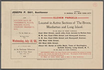
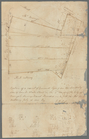
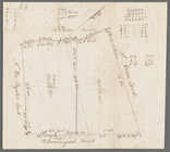
Eleven parcels located in Act…
m
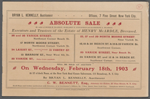
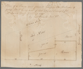
Absolute Sale by order of Pet…
m
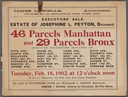
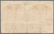
Executors' Sale. Estate of Jo…
m
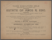
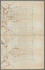
Third Executor's Sale under d…
A carefully prepared map of t…
Subdivision of Block 5 of the…
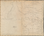
A Draught of New York from th…
m
Broad Street
Égypte nommée dans le pays Mi…
m
East side of Broadway
m
North of two-mile stone Bower…
m
Bowery Lane
m
Pearl and Pine Streets
m
Batavia Lane
m
Division Street
m
Washington Street
m
Pearl and John Street
m
1800 October 29
m
Forty three acres of land at …
m
John Wilkes's five acre lot a…
m
Peter Schermerhorn's three lo…
m
Garden Street
m
James Seton's and Cruger's in…
m
James Seton and Crugar in Gre…
m
Nicholas Anthony's four lots …
m
George Street
m
Chatham Street
m
Burr and Rapelje on Hudson
m
Bloomingdale
Index Map
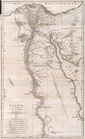
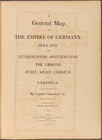
A general map of the empire o…
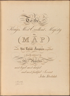
To the King's Most Excellent …
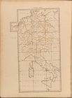
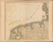
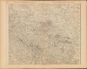
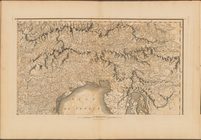
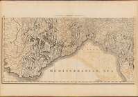
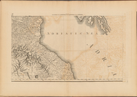
Plate I: A general map of the…
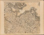
Plate II: A general map of th…
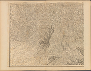
Plate III: A general map of …
Plate IV: A general map of t…
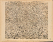
Plate V: A general map of the…
Plate VI: A general map of th…
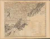
Plate VII: A general map of t…
Plate VIII: A general map of …
Plate IX: A general map of th…
Plate X: A general map of the…
Plate XII: A general map of t…
Plate XIII: A general map of …
Plate XIV: A general map of t…
Plate XV: A general map of th…
Plate XVI: A general map of t…
Plate XVII: A general map of …
Plate XVIII: A general map of…
Plate XIX: A general map of t…
1
2
3
4
5
6
7
8
Previous
Next
1
2
3
4
5
6
7
8
Previous
Next