Click to visit the main New York Public Library Homepage
The New York Public Library
Digital Collections
About Digital Collections
Browse
Search only public domain materials
Items
Collections
Divisions
Home
Search
Browse
About
Search only public domain materials
Items
Collections
Divisions
Digital Collections
Using Images
Using Data
Search
Filtered search
Show filters
Hide filters
Show Only Public Domain
topic
Maps
5
Landowners
4
Real property
4
Geography, Ancient
3
Coasts
1
More
Less
name
Bellin, Jacques Nicolas, 1703-1772
4
Anville, Jean Baptiste Bourguignon d', 1697-1782
3
Jefferys, Thomas, -1771
3
Seale, Richard William
3
Hinton, John, -1781
2
More
Less
collection
Maps of North America
21
Bancker plans
10
Lawrence H. Slaughter Collection of English maps, charts, globes, books and atlases
4
Wonders: Images of the Ancient World
3
Atlases, gazetteers, guidebooks and other books
1
More
Less
place
North America
12
New Jersey
5
Early works to 1800
4
Florida
4
Maps
4
More
Less
genre
x
Maps
Surveys
14
Documents
5
Manuscript maps
5
land surveys
5
More
Less
publisher
publisher not identified
3
s.n
3
J. Hinton
2
Bellin
1
Chez Crepy rue St. Jacques à St. Pierre près la rue de la Parcheminerie
1
More
Less
division
Map Division
28
Manuscripts and Archives Division
11
Wallach Division: Picture Collection
3
Wallach Division: Print Collection
1
type
cartographic
43
text
5
Date Range
to
43 results found
Filtering on:
x
Date
: 1763 - 1764
x
Genre
: Maps
Sort by:
Title
Date created
Date digitized
Sequence
Carte de la Nouvelle Angleter…
Mapa de la Sierra Gorda, y Co…
Canton Lucern sive illustris …
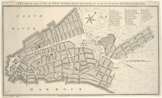
A plan of the city of New-Yor…
Map of Spanish Louisiana and …
Carte générale de l'Amérique …
Carta della Nuova Inghilterra…
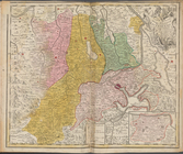
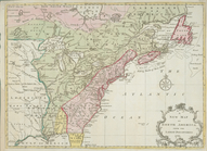
The British governments in Nt…
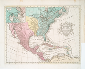
A New & accurate map of North…
Map of Spanish Louisiana and …
A new and accurate map of Nor…
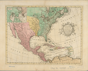
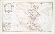
A new map of North America fr…
Ville de Manathe ou Nouvelle-…
A new and accurate map of Nor…
A new map of North America fr…
A new map of North America: w…
A new and accurate map of Nor…
m
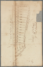
Mahlon Wright's draft of 86 a…
m
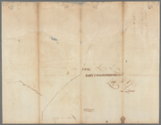
Coppy of M. Stacys survey, 13…
m
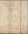
Charls Reed's survey & draugh…
m
M. Stacy 1000 a. (survey of M…
A map of the new governments …
Plan de la Baye de Pensacola …
Plan of the town and harbour …
A plan of Bahia del Espiritu …
East Florida : from surveys m…
m
Piece of ground near the ston…
m
Cleared ground - Colonel De L…
m
Penet
m
Yellis Mandeville 65 acres ne…
m
Kingston's ground on Long Isl…
m
Colonel De Lancey's cleared l…
m
Road near Scott's
m
Tract divided for Peter Remsen
m
Church and Rutgers
Plan of the bay and island of…
m
Land cleared near Mr. Apthorp…
Carte reduite des costes de l…
Parts of Ohio & Pennsylvania …
A general chart of all the co…
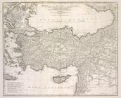
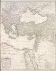
Asiæ, quæ vulgo Minor dicitur…
Orbis romani pars orientalis
Tabula Italiæ antiquæ geograp…
End of results
|
Top