Click to visit the main New York Public Library Homepage
The New York Public Library
Digital Collections
About Digital Collections
Browse
Search only public domain materials
Items
Collections
Divisions
Home
Search
Browse
About
Search only public domain materials
Items
Collections
Divisions
Digital Collections
Using Images
Using Data
Search
Filtered search
Show filters
Hide filters
Show Only Public Domain
topic
x
Real property
Fire insurance
3673
Cities & towns
3568
Business enterprises
468
Landowners
444
More
Less
name
Sanborn Map Company
3568
Beers, F. W. (Frederick W.)
356
G.W. Bromley & Co
312
Perris, William
260
E. Robinson Co
256
More
Less
collection
Atlases of New York City
4627
Atlases of the United States
1385
Maps of North America
328
Maps of New York City and State
267
Collection of broadside real estate maps announcing auctions of lots in early 19th century New York City
67
More
Less
place
New York (State)
6192
New York
1163
Manhattan (New York, N.Y.)
576
Brooklyn (New York, N.Y.)
377
New York (N.Y.)
248
More
Less
genre
Maps
6467
Atlases
1382
Cadastral maps
477
Prints
69
Title pages
52
More
Less
publisher
Sanborn Map Company
3568
G.W. Bromley & Co
232
E. Robinson Co
209
F. W. Beers & Co
148
Perris & Browne
124
More
Less
division
Map Division
6546
Manuscripts and Archives Division
2
No Division
1
type
cartographic
6538
text
174
still image
32
Date Range
to
6,679 results found
Filtering on:
x
Date
: 1775 - 1899
x
Topic
: Real property
Sort by:
Title
Date created
Date digitized
Sequence
Results 501 - 550
m
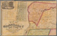
Map of Rensselaer Co., New Yo…
m
Gillette's map of Oneida Co.,…
m
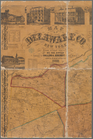
Map of Delaware Co., New York
m
Map of Orange and Rockland Co…
Map of the county of Plymouth…
Map of Franklin County, Massa…
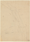
Pencil sketch of Rochester, N…
Map of French & English grant…
Map of the manors erected wit…
m
Map of Hampden County, Massac…
m
Map of the highlands of the H…
m
Clark's map of Fairfield Coun…
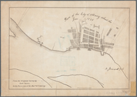
Hartford in 1640
Plan of the estate of Saml. O…
Part of the 5th Ward of the C…
Map of villa lots Arlington P…
Plan of the town of Concord, …
m
Map of Waverly Park lots loca…
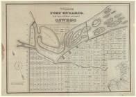
Village of Port Ontario, in t…
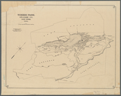
Tuxedo Park, Orange Co., New …
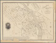
Map of the village of Rochest…
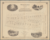
Shonnard Park at Yonkers, est…
Map of part of the village of…
m
Map of Oswego, Oswego Co., N.…
Map of Getty Square, Yonkers:…
m
Map of the town of Morrisania…
m
Map of Geneva, Ontario Co., N…
Map of the town of Niagara
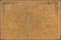
Williams' map of the City of …
m
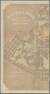
Huguenot Park, Westchester Co…
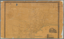
Map of the Cities of Albany a…
Map of Olean, New York
m
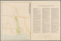
Upper Nyack
Map of Albany, New York
Map of Highbridgeville in the…
Town of Greenburgh, Westchest…
South Nyack
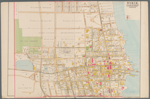
Nyack
Map of Webster's Addition to …
Plan of the city of Albany ab…
m
Map of New London County, Con…
Plan of Danbury, Fairfield Co…
Map of property owned by the …
Map of property belonging to …
Map of the city of Yonkers, T…
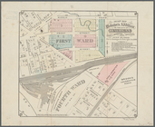
Part of Wards 3 & 4, Yonkers
Map of lots situated in the c…
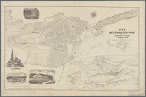
Map of Westminster Park of th…
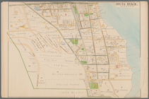
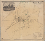
White Plains, Westchester Co.…
The principal parts of Norwal…
1
2
3
4
5
6
7
8
9
10
…
26
27
Previous
Next
1
2
3
4
5
6
7
8
9
10
…
26
27
Previous
Next