Click to visit the main New York Public Library Homepage
The New York Public Library
Digital Collections
About Digital Collections
Browse
Search only public domain materials
Items
Collections
Divisions
Home
Search
Browse
About
Search only public domain materials
Items
Collections
Divisions
Digital Collections
Using Images
Using Data
Search
Filtered search
Show filters
Hide filters
Show Only Public Domain
topic
x
Real property
Fire insurance
3233
Cities & towns
3128
Business enterprises
468
Landowners
422
More
Less
name
Sanborn Map Company
3128
Beers, F. W. (Frederick W.)
356
Perris, William
260
E. Robinson Co
256
Robinson, E. (Elisha)
248
More
Less
collection
Atlases of New York City
3837
Atlases of the United States
1318
Maps of North America
290
Maps of New York City and State
246
Collection of broadside real estate maps announcing auctions of lots in early 19th century New York City
67
More
Less
place
New York (State)
5314
New York
807
Manhattan (New York, N.Y.)
341
Brooklyn (New York, N.Y.)
258
New York (N.Y.)
244
More
Less
genre
Maps
5577
Atlases
1315
Cadastral maps
432
Prints
69
Title pages
40
More
Less
publisher
Sanborn Map Company
3128
E. Robinson Co
209
F. W. Beers & Co
148
Perris & Browne
124
G.M. Hopkins & Co
108
More
Less
division
Map Division
5630
Manuscripts and Archives Division
2
No Division
1
type
cartographic
5640
text
144
still image
30
Date Range
to
5,763 results found
Filtering on:
x
Date
: 1777 - 1890
x
Topic
: Real property
Sort by:
Title
Date created
Date digitized
Sequence
Riverhead, the home resort of…
m
Map of property at Fairmount…
m
Map of the property of the Yo…
Map of Baker City, Oregon
Map of New England City, Dade…
Map of Roanoke, Virginia : th…
Whitney's map of Seattle and …
Palisades of the Potomac [Fox…
Map of Holly Beach City: sect…
M[ap of par]t of the property…
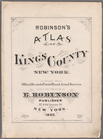
Robinson's atlas of Kings Cou…
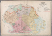
Outline & Index Map Kings Cou…
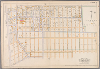
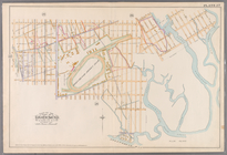
Plate 1: [Bounded by Montgome…
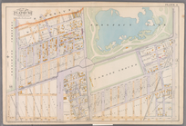
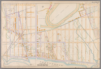
Plate 2: [Bounded by Fenimore…
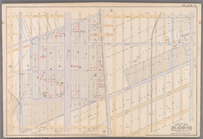
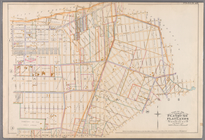
Plate 3: [Bounded by Grant St…
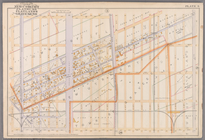
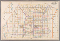
Plate 4:[Bounded by Terrace P…
Plate 5: [Bounded by Avenue A…
Plate 6: [Bounded by Avenue E…
Plate 7: [Bounded by 60th Str…
Plate 8: [Bounded by Mackay P…
Plate 9: [Bounded by 85th Str…
Plate 10: [Bounded by 72nd St…
Plate 11: [Bounded by 58th St…
Plate 12: [Bounded by 4rd Str…
Plate 13: [Bounded by West St…
Plate 14: [Bounded by 39th St…
Plate 15: [Bounded by 58th St…
Plate 16: [Bounded by 72nd St…
Plate 17: [Bounded by 86th St…
Plate 18:[Bounded by 86th Str…
Plate 19: [Bounded by 72nd St…
Plate 20: [Bounded by Bay 46t…
Plate 21: [Bounded by Canal A…
Plate 22: [Bounded by Avenue …
Plate23: [Bounded by Avenue P…
Plate 24: [Bounded by Avenue …
Plate 25: Bounded by Avenue C…
Plate 26: [Bounded by Avenue …
Plate 27: [Bounded by Avenue …
Plate 28: [Bounded by Avenue …
Plate 29: [Bounded by Malbone…
Plate 30: [Bounded by Ditmas …
Plate 31: [Bounded by Avenue …
Plate 32: Map of the City of …
Official map of San Francisco
Real estate map of property b…
Cattaraugus Reservation of th…
m
Map of Roanoke, Virginia : sh…
m
Upper Nyack
Map of Lake Park, Georgia
1
2
3
4
5
6
7
8
9
10
…
23
24
Previous
Next
1
2
3
4
5
6
7
8
9
10
…
23
24
Previous
Next