Click to visit the main New York Public Library Homepage
The New York Public Library
Digital Collections
About Digital Collections
Browse
Search only public domain materials
Items
Collections
Divisions
Home
Search
Browse
About
Search only public domain materials
Items
Collections
Divisions
Digital Collections
Using Images
Using Data
Search
Filtered search
Show filters
Hide filters
Show Only Public Domain
topic
History
1
name
Faden, William, 1749-1836
1
Puerto Rico
1
Sauthier, Claude Joseph
1
Villefranche, Jean Louis Ambroise de Genton, chevalier de, 18th cent
1
collection
Bancker plans
207
Constable-Pierrepont papers
1
Historia geográfica, civil y natural de la ysla de San Juan Bautista de Puerto Rico : manuscript
1
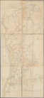
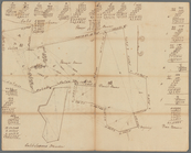
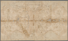
Map of the East Side of the North River: Done in consequence of orders from his excellency Gen'l Washington
1
Thomas Addis Emmet collection, [legacy collection]
1
place
New York (N.Y.)
1
genre
x
Maps
Surveys
207
land surveys
178
Documents
29
Plans
1
division
x
Manuscripts and Archives Division
type
cartographic
211
text
30
still image
1
Date Range
to
211 results found
Filtering on:
x
Date
: 1778 - 1782
x
Division
: Manuscripts and Archives Division
x
Genre
: Maps
Sort by:
Title
Date created
Date digitized
Sequence
m
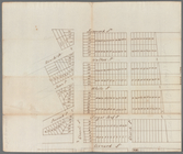
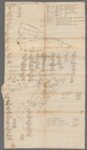
Plano.: de la Ysla de Sn. Jua…
A chorographical map of the P…
m
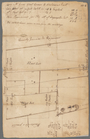
Rough dr of Jn Devoor's farm
m
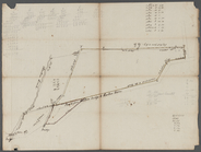
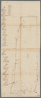
Map of the East Side of the N…
m
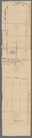
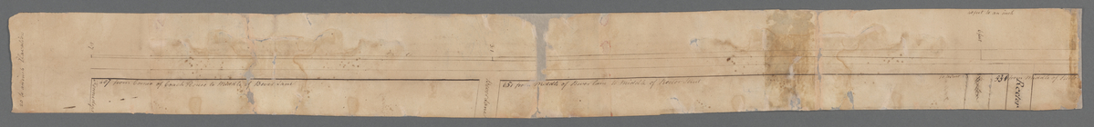
North side of Beaver Street
m
Carr's ground in Beaver Street
m
Ground of John Pamiter in Bea…
m
Draft of square B of James De…
m
Plan of Mr. Mott and Mr. Sawy…
m
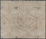
Quantity of lots in the unequ…
m
Measurement of De Lancey's gr…
m
Captain De Lancey's ground
m
Alderman Dykeman's land betwe…
m
Lot near Jewish burying ground
m
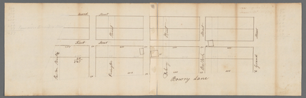
Plot on Bowery lane
m
Webber and Van Arden
m
Lots near Amity Street, Broad…
m
Battery
m
Lot of Mr. Edward Laight in W…
m
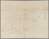
Sketch of the vineyard
m
Between Lispenard and Leonard…
m
Harlem Creek
m
Colonel Magregor's at Greenwi…
m
Greenwich Street between Dyes…
m
College ground and lots
m
Piece of Church ground leased…
m
Ground between William and Jo…
m
Mount Pitt
m
Malleshaw's near Fresh Water
m
James Delancey's lot and old …
m
Frankfort and Kip Streets
m
Cockraft's lot facing the Fly…
m
Dock Street
m
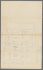
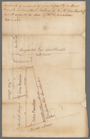
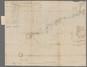
Sketches showing grades and d…
m
circa 1780-1785
m
Hopper Farm, showing divisions
m
Map of Little Bloomingdale
m
Brookland
m
Computations of Staten Island
m
Caleb Wood's farm
m
Daniel, Ebenezar Bowers's, an…
m
Thomas Smith's meadow
m
Land adjoining Hudson River a…
m
Calculations for Dr. Bard
m
Part of Vermont
m
Ditches, fort and redoubt on …
m
Brooklyn Ferry
m
Division line between W. N. a…
m
James De Lancey's meadow
m
Thomas Smith's upland