Click to visit the main New York Public Library Homepage
The New York Public Library
Digital Collections
About Digital Collections
Browse
Search only public domain materials
Items
Collections
Divisions
Home
Search
Browse
About
Search only public domain materials
Items
Collections
Divisions
Digital Collections
Using Images
Using Data
Search
Filtered search
Show filters
Hide filters
Show Only Public Domain
collection
Bancker plans
28
genre
x
Documents
Maps
28
Surveys
28
division
Manuscripts and Archives Division
28
type
x
cartographic
text
28
Date Range
to
28 results found
Filtering on:
x
Date
: 1780 - 1782
x
Genre
: Documents
x
Type
: cartographic
Sort by:
Title
Date created
Date digitized
Sequence
m
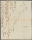
Rough dr of Jn Devoor's farm
m
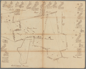
Caleb Wood's farm
m
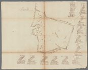
Daniel, Ebenezar Bowers's, an…
m
Thomas Smith's meadow
m
Land adjoining Hudson River a…
m
Calculations for Dr. Bard
m
James De Lancey's meadow
m
Thomas Smith's upland
m
Land computations and notes
m
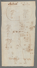
Sherbrook
m
Calculation of part of lot 30…
m
Collins
m
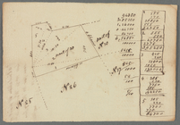
James Cromline's lots in the …
m
Grand Street
m
Sketch and dimensions of a li…
m
Survey of land
m
Survey of land with calculati…
m
Boundary line adjustment
m
Lot near Isaac De Peyster Lan…
m
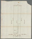
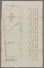
East River
m
North River
m
Survey of lot
m
Tract of land
m
Tract bordered by Maerschalk …
m
Tract of land
m
Ground on Golden Hill owned b…
m
John Devoor's farm made agree…
m
Englehart's given by Mr. Mill…
End of results
|
Top